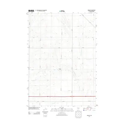
2013 Map of Adrian NE
USGS Topo · Published 2013About this map
The Coteau des Prairies plateau dominates the landscape of this portion of Nobles County, where a high, well-drained upland region dictates the flow of local waterways. This 2013 survey illustrates the agricultural grid of Southwest Minnesota, defined by a network of rural roads such as Edwards Ave and Jones Ave that divide the land into neat sections. Water management is a primary feature of this terrain, seen through the Judicial Ditch Number Eleven-b and County Ditch Number Five, which channel runoff away from the fertile fields. In the southern portion of the quadrangle, the Interstate 90 corridor and Co Hwy-35 cut a modern horizontal path across the natural drainage of Little Rock Cr and the winding East Br Kanaranzi Cr.
Find a feature on this map
24 named features on this map. Tap any name to fly to it.
Don’t see what you’re looking for? This feature index may not catch every label — zoom into the map to look around manually.
Map Details
Editions of this 2013 Adrian NE Map
This is the sole edition of this map. No revisions or reprints were ever made.
Other maps of this area

1954 · Fairmont
USGS Topo · 1:250,000

1958 · Fairmont
USGS Topo · 1:250,000

1960 · Reading
USGS Topo · 1:24,000

1960 · Bigelow
USGS Topo · 1:24,000

1967 · Slayton SW
USGS Topo · 1:24,000

1967 · Rushmore
USGS Topo · 1:24,000

1967 · Wilmont
USGS Topo · 1:24,000

1967 · Adrian SW
USGS Topo · 1:24,000

1967 · Adrian NE
USGS Topo · 1:24,000

1967 · Adrian
USGS Topo · 1:24,000