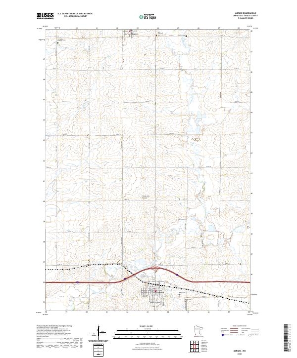
2022 Map of Adrian
USGS Topo · Published 2022About this map
Adrian and Lismore anchor this portion of Nobles County, situated atop the prominent geological upland of the Coteau des Prairies. The landscape is defined by a rigorous section-line road grid, where names like Bulick Ave and Chaney Ave separate vast tracts of agricultural land. The drainage of the prairie is primarily handled by Kanaranzi Creek and its tributaries, such as Elk Cr, which wind through the township boundaries of t103n r43w and t102n r42w. For genealogists, the map is particularly detailed regarding local burials, documenting the Norwegian Lutheran Cem, Saint Anthonys Cem, and the dual sites of Adrian Cem and Saint Adrian Cem. The layout of Adrian itself reveals a concentrated street network including Indiana Ave and S Louisiana Ave just north of the major transportation corridor through the southern half of the quadrangle.
Find a feature on this map
49 named features on this map. Tap any name to fly to it.
Don’t see what you’re looking for? This feature index may not catch every label — zoom into the map to look around manually.
Map Details
Editions of this 2022 Adrian Map
This is the sole edition of this map. No revisions or reprints were ever made.
Other maps of this area

1954 · Fairmont
USGS Topo · 1:250,000

1955 · Sioux Falls
USGS Topo · 1:250,000

1958 · Sioux Falls
USGS Topo · 1:250,000

1958 · Fairmont
USGS Topo · 1:250,000

1967 · Slayton SW
USGS Topo · 1:24,000

1967 · Magnolia
USGS Topo · 1:24,000

1967 · Rushmore
USGS Topo · 1:24,000

1967 · Kenneth
USGS Topo · 1:24,000

1967 · Wilmont
USGS Topo · 1:24,000

1967 · Adrian SW
USGS Topo · 1:24,000