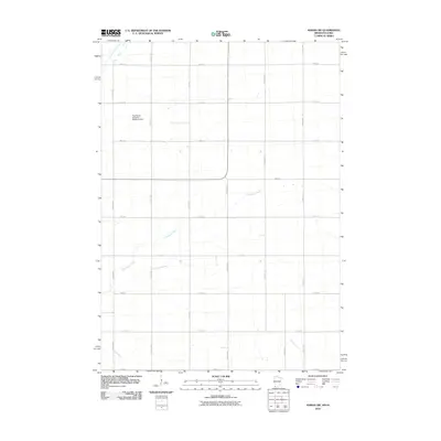
2010 Map of Adrian SW
USGS Topo · Published 2010About this map
Kanaranzi Creek and Norwegian Creek define the drainage of this prairie landscape in the southwestern corner of Nobles County at the start of the 21st century. The map reveals a strictly regulated agricultural grid, where north-south thoroughfares like Chaney Ave and Dayton Ave intersect east-west roads named for their section numbers, such as 280th St and 320th St. This geometric layout reflects the long-standing township-and-range surveying system that shaped the American Midwest, ensuring nearly every acre is accessible for cultivation.
Find a feature on this map
20 named features on this map. Tap any name to fly to it.
Don’t see what you’re looking for? This feature index may not catch every label — zoom into the map to look around manually.
Map Details
Editions of this 2010 Adrian SW Map
This is the sole edition of this map. No revisions or reprints were ever made.
Other maps of this area

1954 · Fairmont
USGS Topo · 1:250,000

1955 · Sioux Falls
USGS Topo · 1:250,000

1958 · Sioux Falls
USGS Topo · 1:250,000

1958 · Fairmont
USGS Topo · 1:250,000

1967 · Magnolia
USGS Topo · 1:24,000

1967 · Rushmore
USGS Topo · 1:24,000

1967 · Adrian SW
USGS Topo · 1:24,000

1967 · Adrian NE
USGS Topo · 1:24,000

1967 · Adrian
USGS Topo · 1:24,000

1967 · Ellsworth
USGS Topo · 1:24,000