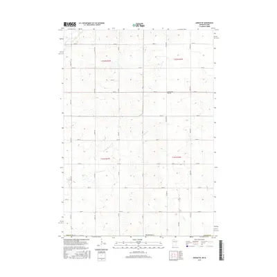
2016 Map of Adrian SW
USGS Topo · Published 2016About this map
Norwegian Cr and Kanaranzi Cr wind through this prairie landscape in Nobles County, marking the agricultural geometry of southwest Minnesota. The terrain is defined by a rigorous grid of section-line roads, including Chaney Ave, Cory Ave, and Durfee Ave, which serve the expansive farmsteads of the region. These routes, such as Co Rd 17 and Co Rd 58, illustrate a highly organized rural land system where drainage and topography dictate the only breaks in the linear pattern. To the south, Tom Cr and 100th St highlight the transition toward the Iowa border. This 2016 survey documents the modern state of these rural corridors, showing how early settlement patterns and the Public Land Survey System continue to shape the contemporary landscape of the Coteau des Prairies.
Find a feature on this map
29 named features on this map. Tap any name to fly to it.
Don’t see what you’re looking for? This feature index may not catch every label — zoom into the map to look around manually.
Map Details
Editions of this 2016 Adrian SW Map
This is the sole edition of this map. No revisions or reprints were ever made.
Other maps of this area

1954 · Fairmont
USGS Topo · 1:250,000

1955 · Sioux Falls
USGS Topo · 1:250,000

1958 · Sioux Falls
USGS Topo · 1:250,000

1958 · Fairmont
USGS Topo · 1:250,000

1967 · Magnolia
USGS Topo · 1:24,000

1967 · Rushmore
USGS Topo · 1:24,000

1967 · Adrian SW
USGS Topo · 1:24,000

1967 · Adrian NE
USGS Topo · 1:24,000

1967 · Adrian
USGS Topo · 1:24,000

1967 · Ellsworth
USGS Topo · 1:24,000