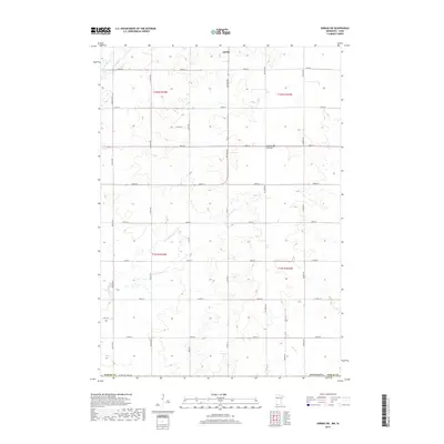
2019 Map of Adrian SW
USGS Topo · Published 2019About this map
The rolling upland of the Coteau des Prairies defines this portion of Nobles County, where the agricultural grid meets the drainage systems of the Missouri River watershed. The southern fringes of Adrian are visible at the top of the sheet, serving as a hub for a network of section-line roads such as Dayton Ave and Co Rd 17. The landscape is primarily shaped by the meandering paths of Kanaranzi Cr, Norwegian Cr, and Tom Cr, which cut through the high prairie plateau. This 2019 survey documents the modern rural structure of southwestern Minnesota, illustrating the persistent importance of named thoroughfares like Chaney Ave and Dillman Ave in a region historically dominated by large-scale farming and the geographic height of land between major river basins.
Find a feature on this map
31 named features on this map. Tap any name to fly to it.
Don’t see what you’re looking for? This feature index may not catch every label — zoom into the map to look around manually.
Map Details
Editions of this 2019 Adrian SW Map
This is the sole edition of this map. No revisions or reprints were ever made.
Other maps of this area

1954 · Fairmont
USGS Topo · 1:250,000

1955 · Sioux Falls
USGS Topo · 1:250,000

1958 · Sioux Falls
USGS Topo · 1:250,000

1958 · Fairmont
USGS Topo · 1:250,000

1967 · Magnolia
USGS Topo · 1:24,000

1967 · Rushmore
USGS Topo · 1:24,000

1967 · Adrian SW
USGS Topo · 1:24,000

1967 · Adrian NE
USGS Topo · 1:24,000

1967 · Adrian
USGS Topo · 1:24,000

1967 · Ellsworth
USGS Topo · 1:24,000