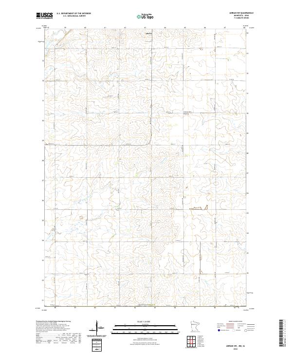
2022 Map of Adrian SW
USGS Topo · Published 2022About this map
The southwest rural periphery of Adrian centers this topographic survey, revealing the agricultural landscape of southwestern Minnesota at the edge of the Coteau des Prairies. This highland plateau, a prominent glacial feature, shapes the local hydrology as numerous streams carve paths through the township. The drainage network is clearly defined by the winding courses of Kanaranzi Cr, Norwegian Cr, and Tom Cr, which cut through a strictly organized section-line road grid. The map illustrates a landscape dominated by large-scale farming and sparse rural homesteads, primarily accessible via a network of thoroughfares like Dayton Ave and Co Rd 17. Positioned just north of the Iowa border, this area of Nobles County represents the intersection of glacial geography and American prairie settlement patterns.
Find a feature on this map
30 named features on this map. Tap any name to fly to it.
Don’t see what you’re looking for? This feature index may not catch every label — zoom into the map to look around manually.
Map Details
Editions of this 2022 Adrian SW Map
This is the sole edition of this map. No revisions or reprints were ever made.
Other maps of this area

1954 · Fairmont
USGS Topo · 1:250,000

1955 · Sioux Falls
USGS Topo · 1:250,000

1958 · Sioux Falls
USGS Topo · 1:250,000

1958 · Fairmont
USGS Topo · 1:250,000

1967 · Magnolia
USGS Topo · 1:24,000

1967 · Rushmore
USGS Topo · 1:24,000

1967 · Adrian SW
USGS Topo · 1:24,000

1967 · Adrian NE
USGS Topo · 1:24,000

1967 · Adrian
USGS Topo · 1:24,000

1967 · Ellsworth
USGS Topo · 1:24,000