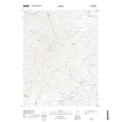
2019 Map of Adrian
USGS Topo · Published 2019About this map
French Creek and its surrounding hollows define the settlement patterns of this central West Virginia landscape. The map details a network of rural communities including Adrian, Frenchton, and Abbott, connected by a web of mountain roads and county routes. The terrain is dominated by the heights of Buckhannon Mtn and Mulberry Ridge, while the northern reaches are shaped by the waters of the Stonecoal Reservoir. Genealogists will find significant value in the documented locations of the Beechtown Cem and Slab Camp Cem, providing specific spatial context for family history research. Modern infrastructure is represented by the Upshur County Regional Airport near the northern boundary, illustrating the evolution of transport in a region traditionally defined by its rugged drainages like Glady Fork and Mudlick Run.
Find a feature on this map
114 named features on this map. Tap any name to fly to it.
Don’t see what you’re looking for? This feature index may not catch every label — zoom into the map to look around manually.
Map Details
Editions of this 2019 Adrian Map
This is the sole edition of this map. No revisions or reprints were ever made.
Other maps of this area

1893 · Buckhannon
USGS Topo · 1:125,000

1896 · Buckhannon
USGS Topo · 1:125,000

1897 · Buckhannon
USGS Topo · 1:125,000

1904 · Philippi
USGS Topo · 1:62,500

1904 · Weston
USGS Topo · 1:62,500

1912 · Sago
USGS Topo · 1:48,000

1912 · Crawford
USGS Topo · 1:48,000

1914 · Sago
USGS Topo · 1:62,500

1914 · Crawford
USGS Topo · 1:62,500

1925 · Philippi
USGS Topo · 1:62,500