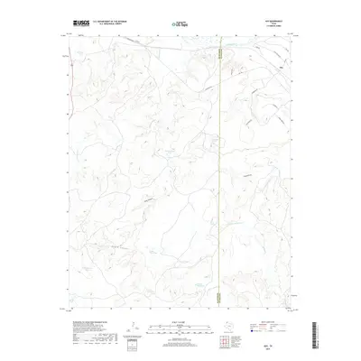
2019 Map of Ady
USGS Topo · Published 2019About this map
The settlement of Ady sits in the Texas Panhandle, positioned near the Canadian River as it traverses the northern portion of this landscape. The terrain is defined by complex drainage systems and significant landforms, including the winding Rock Canyon and the prominent Eagle Canyon. Ranching infrastructure and natural water sources are scattered across the territory, with uniquely named features such as Rheumatism Tank, Buckle Tank, and Bull Tubs Tank providing essential water for livestock in this arid environment.
Find a feature on this map
32 named features on this map. Tap any name to fly to it.
Don’t see what you’re looking for? This feature index may not catch every label — zoom into the map to look around manually.
Map Details
Editions of this 2019 Ady Map
This is the sole edition of this map. No revisions or reprints were ever made.
Other maps of this area

1934 · Ady
USGS Topo · 1:62,500

1936 · Ady
USGS Topo · 1:62,500

1954 · Tucumcari
USGS Topo · 1:250,000

1958 · Tucumcari
USGS Topo · 1:250,000
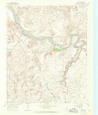
1966 · Boden
USGS Topo · 1:24,000

1966 · Jay Taylor Ranch
USGS Topo · 1:24,000

1966 · Halfway Creek
USGS Topo · 1:24,000

1966 · Ady
USGS Topo · 1:24,000
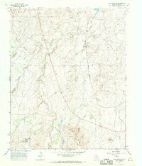
1966 · Wolf Mountain
USGS Topo · 1:24,000

1966 · Rotten Hill
USGS Topo · 1:24,000