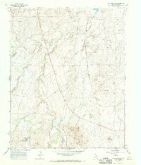
1966 Map of Wolf Mountain
USGS Topo · Published 1969About this map
Tecovas Creek and its many tributaries, including Pedrosa Creek and Daniel Creek, carve through this section of the Texas Panhandle during the mid-1960s. The landscape is defined by its ranching heritage, anchored by the expansive Fryingpan Ranch and Word Ranch. These cattle operations are supported by natural water sources like Tecovas Spring and the persistent Spring near the ranch headquarters.
Find a feature on this map
14 named features on this map. Tap any name to fly to it.
Don’t see what you’re looking for? This feature index may not catch every label — zoom into the map to look around manually.
Map Details
Editions of this 1966 Wolf Mountain Map
2 editions found
Other maps of this area

1934 · Ady
USGS Topo · 1:62,500

1934 · Cliffside
USGS Topo · 1:62,500

1936 · Cliffside
USGS Topo · 1:62,500

1936 · Ady
USGS Topo · 1:62,500

1953 · Puente
USGS Topo · 1:24,000

1953 · Cliffside
USGS Topo · 1:24,000

1954 · Tucumcari
USGS Topo · 1:250,000

1954 · Amarillo
USGS Topo · 1:250,000

1958 · Amarillo
USGS Topo · 1:250,000

1958 · Tucumcari
USGS Topo · 1:250,000