
1966 Map of Ady
USGS Topo · Published 1969About this map
The Canadian River cuts through this portion of the Texas Panhandle, defining a landscape of deep draws and canyons in the mid-1960s. The Fort Worth and Denver railroad runs parallel to the river's southern bank, serving the small settlement of Ady and the sprawling operations of the LS Ranch. The terrain is characterized by a sophisticated network of water management features essential for cattle ranching, including named tanks and springs like Rheumatism Tank, Lost Tubs Springs, and Granite Tubs Spring. This era shows a working ranching landscape where topographical features like Rock Canyon and Eagle Canyon were punctuated by Parker and House windmills. The boundary between Oldham and Potter counties bisects the survey, marking the transition from the river valley to the upland plains where the Division Pens Spring and Eagle Camp supported local livestock operations.
Find a feature on this map
30 named features on this map. Tap any name to fly to it.
Don’t see what you’re looking for? This feature index may not catch every label — zoom into the map to look around manually.
Map Details
Editions of this 1966 Ady Map
This is the sole edition of this map. No revisions or reprints were ever made.
Other maps of this area

1934 · Ady
USGS Topo · 1:62,500

1936 · Ady
USGS Topo · 1:62,500

1954 · Tucumcari
USGS Topo · 1:250,000

1958 · Tucumcari
USGS Topo · 1:250,000
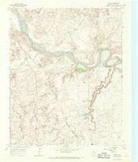
1966 · Boden
USGS Topo · 1:24,000

1966 · Jay Taylor Ranch
USGS Topo · 1:24,000

1966 · Halfway Creek
USGS Topo · 1:24,000
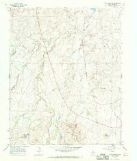
1966 · Wolf Mountain
USGS Topo · 1:24,000

1966 · Rotten Hill
USGS Topo · 1:24,000

1971 · Boys Ranch West
USGS Topo · 1:24,000