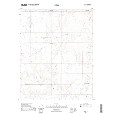
2018 Map of Aetna
USGS Topo · Published 2018About this map
Aetna and its surroundings in Barber County are defined by the winding course of the Salt Fork Arkansas River, which cuts through the southern Kansas landscape. This 2018 survey reveals a sparse settlement pattern dominated by ranching and agriculture, centered near the intersection of Aetna Rd and Cottage Creek Rd. Genealogists and local historians will find the Aetna Cem situated north of the main settlement area, providing a primary point of reference for the community's ancestral roots.
Find a feature on this map
17 named features on this map. Tap any name to fly to it.
Don’t see what you’re looking for? This feature index may not catch every label — zoom into the map to look around manually.
Map Details
Editions of this 2018 Aetna Map
This is the sole edition of this map. No revisions or reprints were ever made.
Other maps of this area

1891 · Medicine Lodge
USGS Topo · 1:125,000

1892 · Coldwater
USGS Topo · 1:125,000

1893 · Medicine Lodge
USGS Topo · 1:125,000

1955 · Woodward
USGS Topo · 1:250,000

1955 · Pratt
USGS Topo · 1:250,000

1958 · Woodward
USGS Topo · 1:250,000

1959 · Pratt
USGS Topo · 1:250,000

1969 · Tegarden NE
USGS Topo · 1:24,000

1969 · Tegarden NW
USGS Topo · 1:24,000

1970 · Freedom NE
USGS Topo · 1:24,000