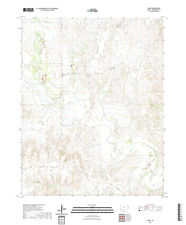
2022 Map of Aetna
USGS Topo · Published 2022About this map
The tiny settlement of Aetna sits at a crossroads in the hills of Barber County, where Aetna Rd meets Cottage Creek Rd. This rural landscape is defined by the braided path of the Salt Fork Arkansas River, which winds through the southern half of the quadrangle. High ground to the north is carved by a network of seasonal drainages, including W Dry Cr, E Dry Cr, and Mule Cr, which converge as they flow toward the main river valley. Cultural landmarks are sparse in this ranching country, but the Aetna Cem and the distinctive marker at Painted Post indicate the long-standing human presence and early navigation points in the region. The map reveals a topography of ridgelines and creek beds that have likely influenced local land use and travel routes since the initial homesteading era.
Find a feature on this map
18 named features on this map. Tap any name to fly to it.
Don’t see what you’re looking for? This feature index may not catch every label — zoom into the map to look around manually.
Map Details
Editions of this 2022 Aetna Map
This is the sole edition of this map. No revisions or reprints were ever made.
Other maps of this area

1891 · Medicine Lodge
USGS Topo · 1:125,000

1892 · Coldwater
USGS Topo · 1:125,000

1893 · Medicine Lodge
USGS Topo · 1:125,000

1955 · Woodward
USGS Topo · 1:250,000

1955 · Pratt
USGS Topo · 1:250,000

1958 · Woodward
USGS Topo · 1:250,000

1959 · Pratt
USGS Topo · 1:250,000

1969 · Tegarden NE
USGS Topo · 1:24,000

1969 · Tegarden NW
USGS Topo · 1:24,000

1970 · Freedom NE
USGS Topo · 1:24,000