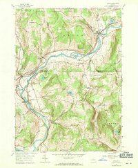
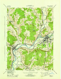
1957 Map of Afton
USGS Topo · Published 1971About this map
The Susquehanna River carves a deep valley through this Southern Tier landscape, dictating the development of riverside hamlets and rail infrastructure. The Delaware and Hudson Railroad closely tracks the river's western bank, serving the vital transit corridor between Afton and Nineveh. Local history is preserved in numerous family and community burial grounds like Harpur Cem and the upland Perch Pond Hill Cem.
Find a feature on this map
47 named features on this map. Tap any name to fly to it.
Don’t see what you’re looking for? This feature index may not catch every label — zoom into the map to look around manually.
Map Details
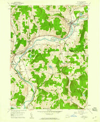
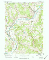
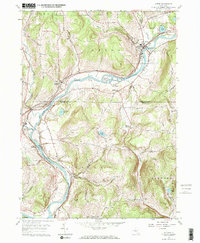
Editions of this 1957 Afton Map
4 editions found
Other maps of this area

1902 · Coventry
USGS Topo · 1:62,500

1904 · Oxford
USGS Topo · 1:62,500

1905 · Nineveh
USGS Topo · 1:62,500

1915 · Unadilla
USGS Topo · 1:62,500

1918 · Unadilla
USGS Topo · 1:62,500

1924 · Deposit
USGS Topo · 1:62,500

1926 · Deposit
USGS Topo · 1:62,500

1943 · Sidney
USGS Topo · 1:24,000

1944 · Deposit
USGS Topo · 1:62,500
1945 · Sidney
USGS Topo · 1:31,680