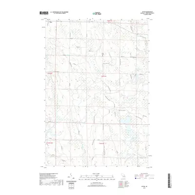
2019 Map of Afton
USGS Topo · Published 2019About this map
Afton stands as the primary settlement in this part of Cheboygan County, positioned near the northern edge of a landscape defined by its intricate drainage systems and long-distance trails. The meandering path of the Pigeon River and numerous tributaries like Milligan Cr and Mcmasters Cr carve through the terrain, supporting several interior water bodies including Lake Sixteen, Dog Lake, and Lost Lake. This 2019 survey illustrates a region heavily utilized for modern recreation, where the High Country Pathway and the Shore to Shore Trail cross paths, intersecting with local thoroughfares such as Walker Rd and Osmun Rd.
Find a feature on this map
47 named features on this map. Tap any name to fly to it.
Don’t see what you’re looking for? This feature index may not catch every label — zoom into the map to look around manually.
Map Details
Editions of this 2019 Afton Map
This is the sole edition of this map. No revisions or reprints were ever made.
Other maps of this area

1954 · Gaylord
USGS Topo · 1:62,500

1954 · Hetherton
USGS Topo · 1:62,500

1955 · Cheboygan
USGS Topo · 1:250,000

1957 · Tower
USGS Topo · 1:62,500

1957 · Wolverine
USGS Topo · 1:62,500

1958 · Cheboygan
USGS Topo · 1:250,000

1982 · Petoskey
USGS Topo · 1:100,000

1986 · Silver Lake
USGS Topo · 1:24,000
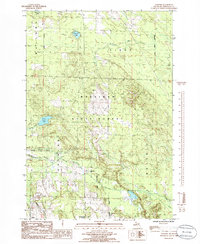
1986 · Legrand
USGS Topo · 1:24,000
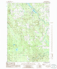
1986 · Tower
USGS Topo · 1:24,000