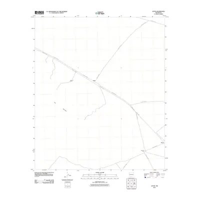
2010 Map of Afton
USGS Topo · Published 2010About this map
Afton stands as a focal point in this southern New Mexico landscape, situated at the junction of several arterial routes including County Rd-B007 and County Rd-B004. The area is defined by a series of ranching outposts like Norwood Ranch and Braid Foot Ranch, which underscore the region's enduring agricultural and pastoral identity. To the southwest, the terrain shifts into the volcanic character of The Malpais, a prominent geological feature that contrasts with the surrounding plains. A network of county roads, such as County Rd-A019 leading toward the settlement of Rutter, illustrates the connectivity between these isolated points in Doña Ana County.
Find a feature on this map
14 named features on this map. Tap any name to fly to it.
Don’t see what you’re looking for? This feature index may not catch every label — zoom into the map to look around manually.
Map Details
Editions of this 2010 Afton Map
This is the sole edition of this map. No revisions or reprints were ever made.
Other maps of this area

1891 · Las Cruces
USGS Topo · 1:125,000

1893 · Las Cruces
USGS Topo · 1:125,000

1917 · Noria
USGS Topo · 1:62,500

1917 · Mt. Riley
USGS Topo · 1:62,500

1918 · Mt. Riley
USGS Topo · 1:62,500

1918 · Noria
USGS Topo · 1:62,500

1929 · Mt. Riley
USGS Topo · 1:62,500

1941 · Aden
USGS Topo · 1:62,500

1943 · Aden
USGS Topo · 1:62,500

1943 · Afton
USGS Topo · 1:62,500