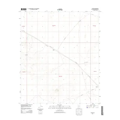
2013 Map of Afton
USGS Topo · Published 2013About this map
Afton and the neighboring settlement of Rutter anchor this 2013 survey of the Chihuahuan Desert south of Las Cruces. The landscape is defined by the stark volcanic fields of The Malpais, where complex contour lines trace the uneven basalt flows and cinder cones of the Potrillo volcanic field. A notable local landmark is the Po designation, marking the site of a post office that historically served this arid stretch of Doña Ana County. Transport and access are dictated by a network of county roads, including Co Road B004 and Douglas Munro Rd, which cut straight lines across the basin floor. These roads provide the primary infrastructure for this remote ranching and geological region, following the established Public Land Survey System boundaries such as t25s r1w and t26s r1w.
Find a feature on this map
20 named features on this map. Tap any name to fly to it.
Don’t see what you’re looking for? This feature index may not catch every label — zoom into the map to look around manually.
Map Details
Editions of this 2013 Afton Map
This is the sole edition of this map. No revisions or reprints were ever made.
Other maps of this area

1891 · Las Cruces
USGS Topo · 1:125,000

1893 · Las Cruces
USGS Topo · 1:125,000

1917 · Noria
USGS Topo · 1:62,500

1917 · Mt. Riley
USGS Topo · 1:62,500

1918 · Mt. Riley
USGS Topo · 1:62,500

1918 · Noria
USGS Topo · 1:62,500

1929 · Mt. Riley
USGS Topo · 1:62,500

1941 · Aden
USGS Topo · 1:62,500

1943 · Aden
USGS Topo · 1:62,500

1943 · Afton
USGS Topo · 1:62,500