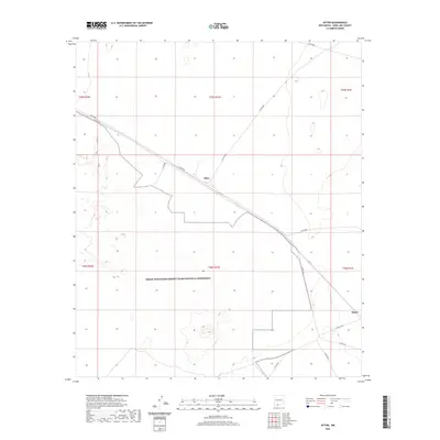
2020 Map of Afton
USGS Topo · Published 2020About this map
Organ Mountains-Desert Peaks National Monument dominates the southern landscape of this New Mexico quadrangle, where the Chihuahuan Desert terrain meets established transport corridors. The settlement of Afton serves as a central junction where Co Rd B004, Co RD b002, and Co Rd B007 converge, illustrating the sparse but deliberate infrastructure required in this arid region. Further southeast, Rutter marks a secondary point of interest along the road network near the border of t26s r1e. The map detail captures a specific desert-and-basin character, defined by cattle guards and a grid of county roads like Co Rd A019 and Co RD a017 that provide access through the protected monument lands.
Find a feature on this map
18 named features on this map. Tap any name to fly to it.
Don’t see what you’re looking for? This feature index may not catch every label — zoom into the map to look around manually.
Map Details
Editions of this 2020 Afton Map
This is the sole edition of this map. No revisions or reprints were ever made.
Other maps of this area

1891 · Las Cruces
USGS Topo · 1:125,000

1893 · Las Cruces
USGS Topo · 1:125,000

1917 · Noria
USGS Topo · 1:62,500

1917 · Mt. Riley
USGS Topo · 1:62,500

1918 · Mt. Riley
USGS Topo · 1:62,500

1918 · Noria
USGS Topo · 1:62,500

1929 · Mt. Riley
USGS Topo · 1:62,500

1941 · Aden
USGS Topo · 1:62,500

1943 · Aden
USGS Topo · 1:62,500

1943 · Afton
USGS Topo · 1:62,500