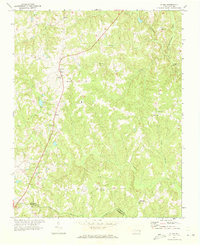
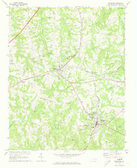
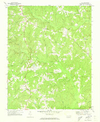
1971 Map of Afton
USGS Topo · Published 1973About this map
Afton and the neighboring community of Elberon anchor the western portion of this 1970s landscape, where North Carolina Route 401 provides the primary north-south corridor through rural Warren County. The map captures a high density of community institutions essential to local genealogy, including the Warren Academy and specialized rural schoolhouses like South Warren Sch and Heeks Grove Sch.
Find a feature on this map
29 named features on this map. Tap any name to fly to it.
Don’t see what you’re looking for? This feature index may not catch every label — zoom into the map to look around manually.
Map Details
Editions of this 1971 Afton Map
This is the sole edition of this map. No revisions or reprints were ever made.
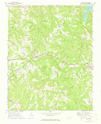
Other maps of this area

1953 · Greensboro
USGS Topo · 1:250,000

1954 · Greensboro
USGS Topo · 1:250,000

1962 · Greensboro
USGS Topo · 1:250,000

1966 · Greensboro
USGS Topo · 1:250,000
1970 · Macon
USGS Topo · 1:24,000
1970 · Vicksboro
USGS Topo · 1:24,000
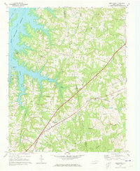
1970 · Middleburg
USGS Topo · 1:24,000
1970 · Warrenton
USGS Topo · 1:24,000
1971 · Inez
USGS Topo · 1:24,000
1977 · Middleburg
USGS Topo · 1:24,000