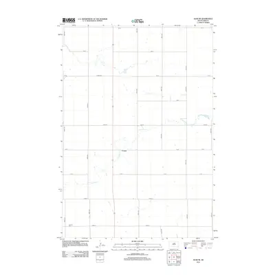
2012 Map of Agar NE
USGS Topo · Published 2012About this map
Gorman occupies a central position on this Potter County landscape, where the prairie is defined by a grid of section-line roads and the winding path of Artichoke Cr. The settlement serves as a focal point in a region primarily dedicated to agriculture, with a systematic network of thoroughfares like Co Hwy-750 and 305th Ave facilitating movement across the high plains. In the southwest corner, the Schreiber Cem offers a primary point of interest for genealogists, providing a tangible link to the early families of this rural township. The hydrology is sparse but significant, characterized by the intermittent flow of Artichoke Cr as it meanders through the central and western portions of the quadrangle, creating natural breaks in the otherwise geometric layout of the land.
Find a feature on this map
19 named features on this map. Tap any name to fly to it.
Don’t see what you’re looking for? This feature index may not catch every label — zoom into the map to look around manually.
Map Details
Editions of this 2012 Agar NE Map
This is the sole edition of this map. No revisions or reprints were ever made.
Other maps of this area

1953 · Huron
USGS Topo · 1:250,000

1953 · McIntosh
USGS Topo · 1:250,000

1954 · Aberdeen
USGS Topo · 1:250,000

1954 · Pierre
USGS Topo · 1:250,000

1954 · Huron
USGS Topo · 1:250,000

1956 · Aberdeen
USGS Topo · 1:250,000

1958 · Pierre
USGS Topo · 1:250,000

1958 · McIntosh
USGS Topo · 1:250,000

1965 · Agar SW
USGS Topo · 1:24,000

1965 · Agar
USGS Topo · 1:24,000