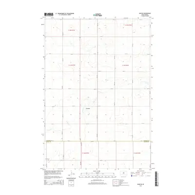
2015 Map of Agar NE
USGS Topo · Published 2015About this map
Gorman sits along a north-south highway corridor in this central South Dakota landscape, marking a concentrated point of settlement amidst a vast grid of section-line roads. The terrain is defined by the winding course of Artichoke Cr, which cuts diagonally through the southern half of the map, creating a natural break in the otherwise rigid township and range surveying system. This 2015 survey illustrates the enduring agricultural structure of the High Plains, where the boundary between Potter Co and Sully Co is clearly delineated near the southern edge of the sheet. For those researching local burial sites or land ownership patterns, the Schreiber Cem appears in the southwestern corner, serving as a vital genealogical landmark for the surrounding rural community.
Find a feature on this map
27 named features on this map. Tap any name to fly to it.
Don’t see what you’re looking for? This feature index may not catch every label — zoom into the map to look around manually.
Map Details
Editions of this 2015 Agar NE Map
This is the sole edition of this map. No revisions or reprints were ever made.
Other maps of this area

1953 · Huron
USGS Topo · 1:250,000

1953 · McIntosh
USGS Topo · 1:250,000

1954 · Aberdeen
USGS Topo · 1:250,000

1954 · Pierre
USGS Topo · 1:250,000

1954 · Huron
USGS Topo · 1:250,000

1956 · Aberdeen
USGS Topo · 1:250,000

1958 · Pierre
USGS Topo · 1:250,000

1958 · McIntosh
USGS Topo · 1:250,000

1965 · Agar SW
USGS Topo · 1:24,000

1965 · Agar
USGS Topo · 1:24,000