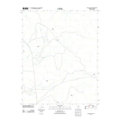
2011 Map of Agathla Peak
USGS Topo · Published 2011About this map
Agathla Peak and the surrounding high desert terrain dominate this northern Arizona landscape, where the geology of the Colorado Plateau is prominently labeled. This 2011 survey by the U.S. Geological Survey documents a sparse road network, primarily following the path of Indian Rte 6460 and secondary routes that navigate between significant landmarks like Chaistla Butte and Porras Dikes. The drainage pattern is defined by El Capitan Wash, which cuts through the western portion of the quadrangle near Owl Rock. The map illustrates the geographical transition between the Segi Mesas and the expansive floor of Cane Valley, providing a clear record of the area's physical geography and isolated landmarks such as Lion Rock and the Gray Hills.
Find a feature on this map
10 named features on this map. Tap any name to fly to it.
Don’t see what you’re looking for? This feature index may not catch every label — zoom into the map to look around manually.
Map Details
Editions of this 2011 Agathla Peak Map
This is the sole edition of this map. No revisions or reprints were ever made.
Other maps of this area

1883 · Marsh Pass
USGS Topo · 1:250,000

1892 · Marsh Pass
USGS Topo · 1:250,000

1952 · Agathla Peak 1 NW
USGS Topo · 1:24,000

1952 · Boot Mesa
USGS Topo · 1:62,500

1952 · Agathla Peak 1 NE
USGS Topo · 1:24,000

1952 · Agathla Peak 2 SE
USGS Topo · 1:24,000

1952 · Agathla Peak 1 SE
USGS Topo · 1:24,000

1952 · Agathla Peak 2 NE
USGS Topo · 1:24,000

1952 · Agathla Peak
USGS Topo · 1:62,500

1952 · Agathla Peak 1 SW
USGS Topo · 1:24,000