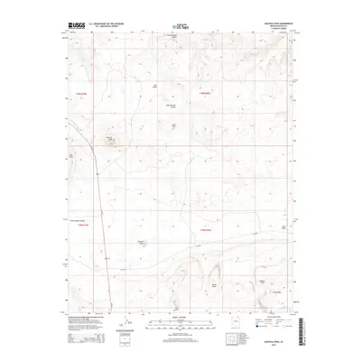
2014 Map of Agathla Peak
USGS Topo · Published 2014About this map
Agathla Peak rises as a prominent landmark in this high-desert landscape of Navajo County, characterizing the volcanic and erosional geology of the region. The map highlights a series of distinctive landforms, from the towering presence of Owl Rock and Chaistla Butte to the massive formation of Comb Ridge in the southeast. Water drainage patterns are defined by the El Capitan Wash and Laguna Cr, which cut through broad expanses like Little Capitan Valley and Cane Valley.
Find a feature on this map
21 named features on this map. Tap any name to fly to it.
Don’t see what you’re looking for? This feature index may not catch every label — zoom into the map to look around manually.
Map Details
Editions of this 2014 Agathla Peak Map
This is the sole edition of this map. No revisions or reprints were ever made.
Other maps of this area

1883 · Marsh Pass
USGS Topo · 1:250,000

1892 · Marsh Pass
USGS Topo · 1:250,000

1952 · Agathla Peak 1 NW
USGS Topo · 1:24,000

1952 · Boot Mesa
USGS Topo · 1:62,500

1952 · Agathla Peak 1 NE
USGS Topo · 1:24,000

1952 · Agathla Peak 2 SE
USGS Topo · 1:24,000

1952 · Agathla Peak 1 SE
USGS Topo · 1:24,000

1952 · Agathla Peak 2 NE
USGS Topo · 1:24,000

1952 · Agathla Peak
USGS Topo · 1:62,500

1952 · Agathla Peak 1 SW
USGS Topo · 1:24,000