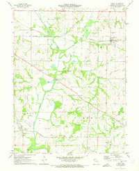
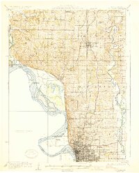
1971 Map of Agency
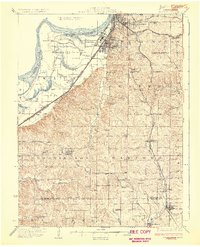
USGS Topo · Published 1973About this map
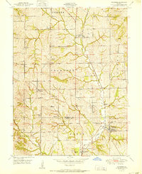
Platte River meanders through this Buchanan County landscape, serving as a central geographic anchor for the rural communities of Agency and Easton. The early 1970s rail network remains a dominant feature, with the Chicago Rock Island and Pacific and the Burlington Northern lines intersecting near the northern reach, while the Atchison Topeka and Santa Fe skirts the southern border near Frazier.
Find a feature on this map
41 named features on this map. Tap any name to fly to it.
Don’t see what you’re looking for? This feature index may not catch every label — zoom into the map to look around manually.
Map Details
Editions of this 1971 Agency Map
This is the sole edition of this map. No revisions or reprints were ever made.
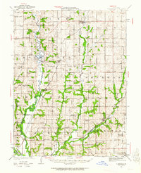
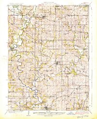
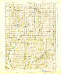
Other maps of this area
1923 · Clarksdale
USGS Topo · 1:62,500

1924 · St. Joseph
USGS Topo · 1:62,500
1925 · Gower
USGS Topo · 1:62,500
1925 · Clarksdale
USGS Topo · 1:62,500
1926 · Saint Joseph
USGS Topo · 1:62,500
1927 · Dearborn
USGS Topo · 1:62,500

1950 · Kansas City
USGS Topo · 1:250,000
1951 · Edgerton
USGS Topo · 1:24,000
1951 · Gower
USGS Topo · 1:24,000
1951 · Dearborn
USGS Topo · 1:24,000