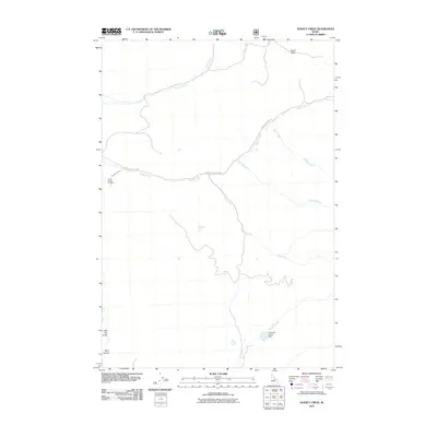
2011 Map of Agency Creek
USGS Topo · Published 2011About this map
Chief Tendoy Cemetery stands as a focal point of local heritage in this high-altitude landscape of Lemhi County. The terrain is defined by a dense network of drainages including Pattee Creek, Cow Creek, and the central Agency Creek, which provide the primary geographical structure for the area. The historic corridor of the Lewis and Clark Hwy winds through the canyons, following the natural paths carved by the waterways. The presence of Ellsworth-Upper Dam on Yearian Creek and named springs like Dragroad Spring highlight the critical role of water management in this arid environment. To the north, the elevation shifts toward Ghoul Basin, while the western edge is marked by the steep descents of Little Dry Gulch and Napo Canyon, illustrating the varied and demanding topography that has influenced movement and land use throughout the region's history.
Find a feature on this map
15 named features on this map. Tap any name to fly to it.
Don’t see what you’re looking for? This feature index may not catch every label — zoom into the map to look around manually.
Map Details
Editions of this 2011 Agency Creek Map
This is the sole edition of this map. No revisions or reprints were ever made.
Other maps of this area

1955 · Dubois
USGS Topo · 1:250,000

1955 · Dillon
USGS Topo · 1:250,000

1956 · Goldstone Mtn
USGS Topo · 1:62,500

1956 · Lemhi
USGS Topo · 1:62,500

1957 · Dillon
USGS Topo · 1:250,000

1958 · Dubois
USGS Topo · 1:250,000

1958 · Dillon
USGS Topo · 1:250,000

1962 · Dillon
USGS Topo · 1:250,000

1965 · Dillon
USGS Topo · 1:250,000

1965 · Lemhi Pass
USGS Topo · 1:24,000