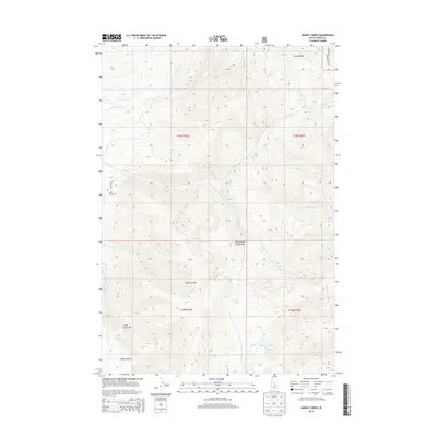
2013 Map of Agency Creek
USGS Topo · Published 2013About this map
Chief Tendoy Cem marks a significant historical point within this 2013 Lemhi County landscape, situated near the western edge of the Beaverhead Mountains. This territory is defined by the drainages of Agency Cr and Yearian Cr, which flow westward toward the Lemhi River. Much of the eastern portion of the map is dominated by the high elevations of the Salmon National Forest, including terrain features like Ghoul Basin and White Cr. The network of water sources is dense for a high-altitude area, featuring multiple named springs such as Eckersell Spring, Dragoon Spring, and Napo Spring. Access is limited to routes like Monument Rd, reflecting the remote and topographical complexity of the Continental Divide region.
Find a feature on this map
25 named features on this map. Tap any name to fly to it.
Don’t see what you’re looking for? This feature index may not catch every label — zoom into the map to look around manually.
Map Details
Editions of this 2013 Agency Creek Map
This is the sole edition of this map. No revisions or reprints were ever made.
Other maps of this area

1955 · Dubois
USGS Topo · 1:250,000

1955 · Dillon
USGS Topo · 1:250,000

1956 · Goldstone Mtn
USGS Topo · 1:62,500

1956 · Lemhi
USGS Topo · 1:62,500

1957 · Dillon
USGS Topo · 1:250,000

1958 · Dubois
USGS Topo · 1:250,000

1958 · Dillon
USGS Topo · 1:250,000

1962 · Dillon
USGS Topo · 1:250,000

1965 · Dillon
USGS Topo · 1:250,000

1965 · Lemhi Pass
USGS Topo · 1:24,000