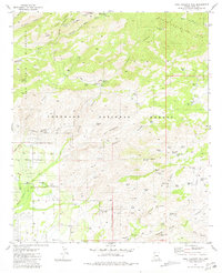
1981 Map of Agua Caliente Hill
USGS Topo · Published 1981About this map
The Santa Catalina Mts rise sharply above the desert floor in this detailed 1981 survey, where the winding Catalina Highway and Mt Lemmon Highway provide access to high-elevation lookouts like Windy Point Vista and Geology Vista. The transition from the rugged canyons of the Pusch Ridge Wilderness to the valley floor is marked by a network of water management features, ranging from the Sycamore Reservoir to dozens of named stock tanks such as Jack Daniels Tank and Old Grandad Tank.
Find a feature on this map
68 named features on this map. Tap any name to fly to it.
Don’t see what you’re looking for? This feature index may not catch every label — zoom into the map to look around manually.
Map Details
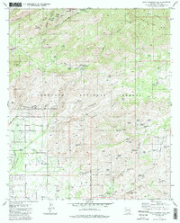
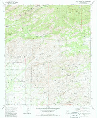
Editions of this 1981 Agua Caliente Hill Map
3 editions found
Other maps of this area

1904 · Tucson
USGS Topo · 1:125,000

1905 · Tucson
USGS Topo · 1:125,000

1948 · Tucson
USGS Topo · 1:62,500

1956 · Tucson
USGS Topo · 1:250,000

1957 · Tucson East
USGS Topo · 1:24,000

1957 · Bellota Ranch
USGS Topo · 1:62,500

1957 · Tucson
USGS Topo · 1:62,500

1957 · Rincon Valley
USGS Topo · 1:62,500

1957 · Sabino Canyon
USGS Topo · 1:24,000
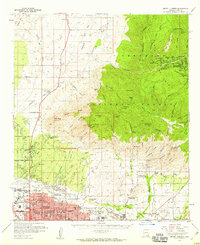
1957 · Mount Lemmon
USGS Topo · 1:62,500