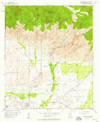
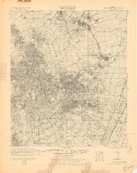
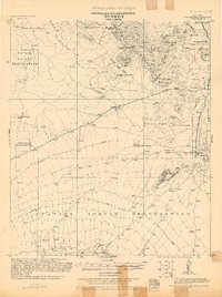
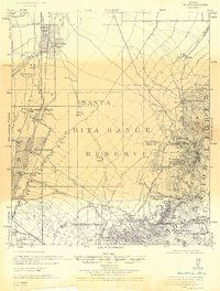
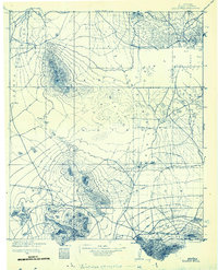
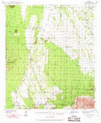
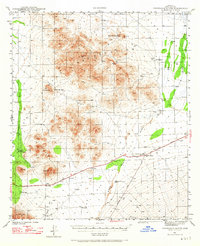
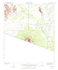
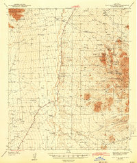
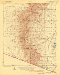
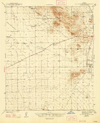
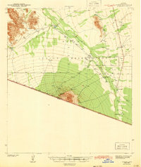
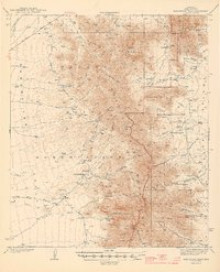
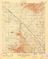
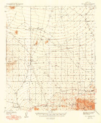
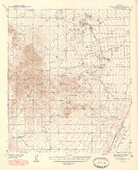
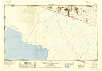
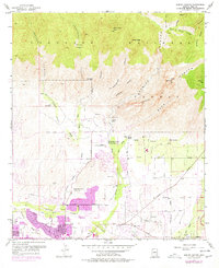
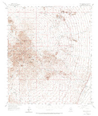
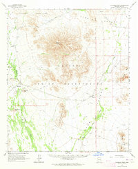
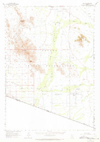
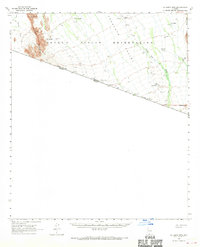
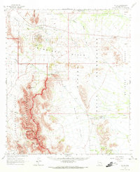
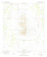
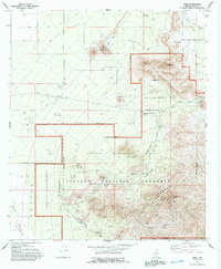
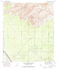
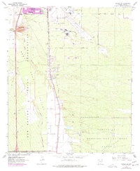
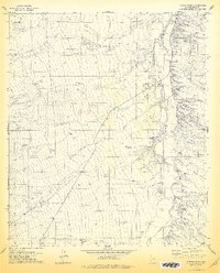
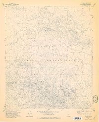
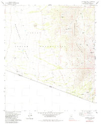
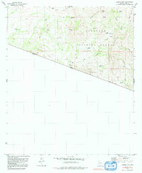
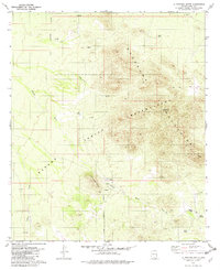
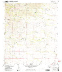
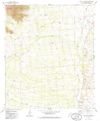
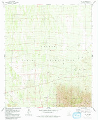
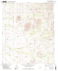
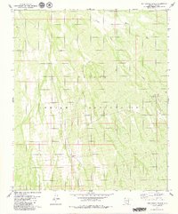
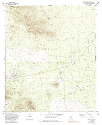
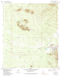
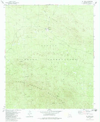
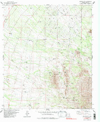
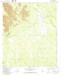
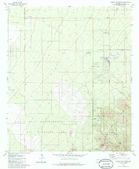
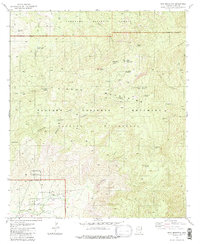
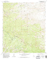
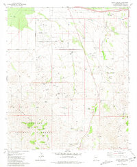
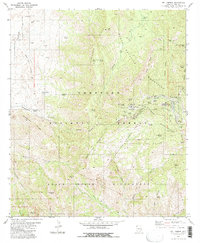
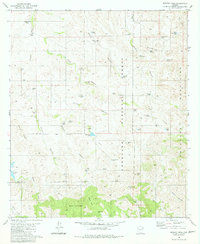
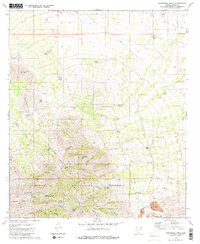
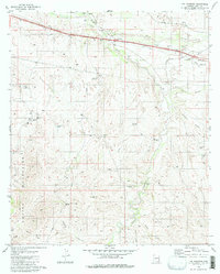
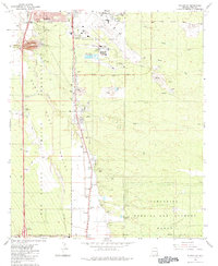
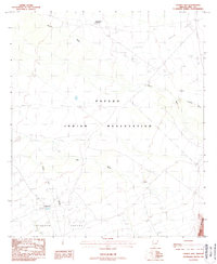
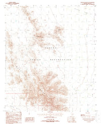
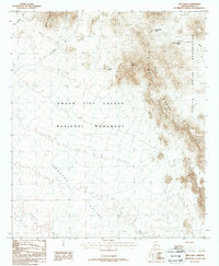
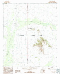
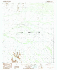
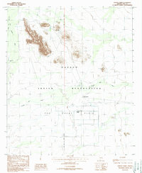
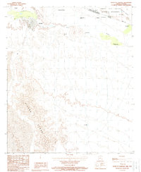
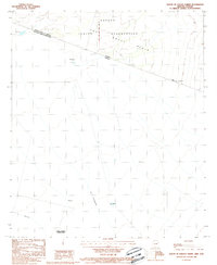
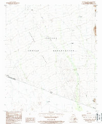
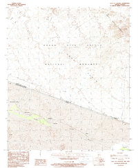
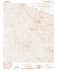
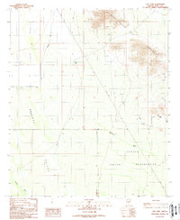
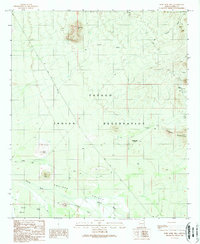
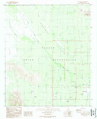
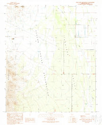
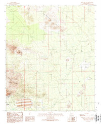
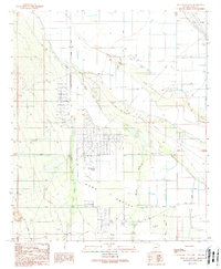
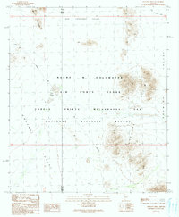
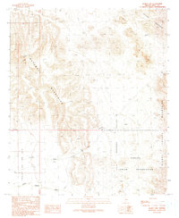
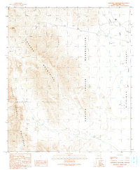
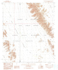
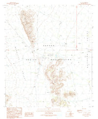
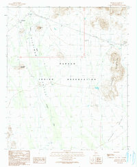
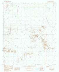
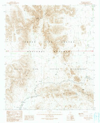
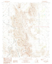
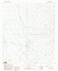
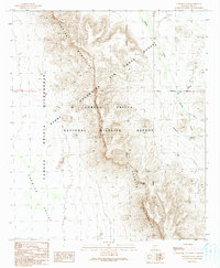
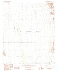
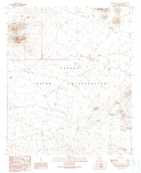
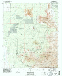
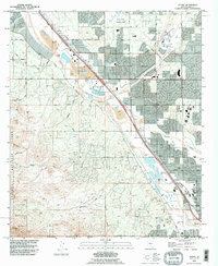
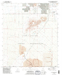
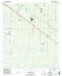
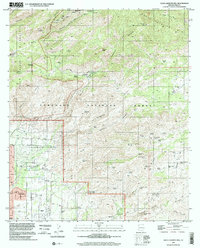
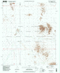
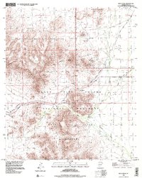
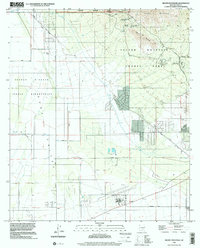
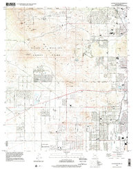
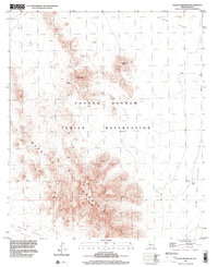
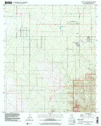
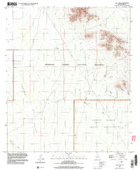
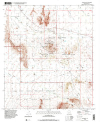
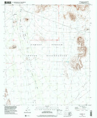
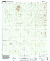
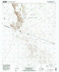
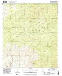
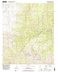
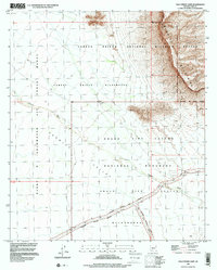
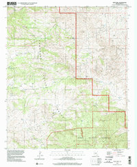
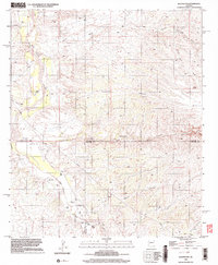
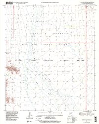
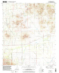
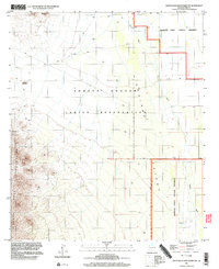
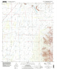
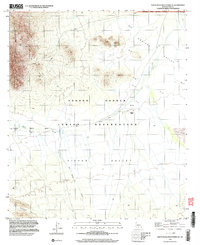
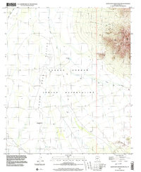
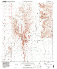
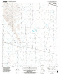
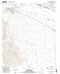
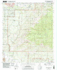
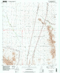
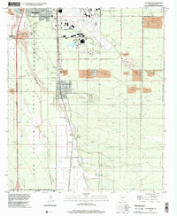
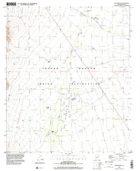
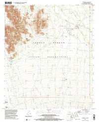
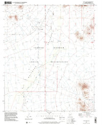
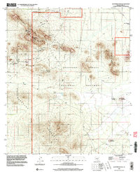
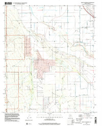
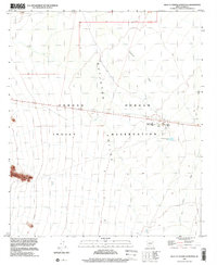
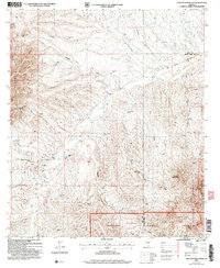
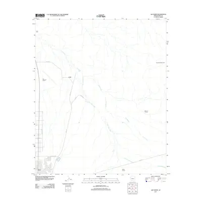
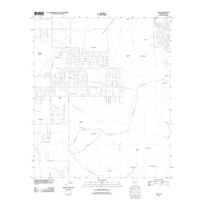
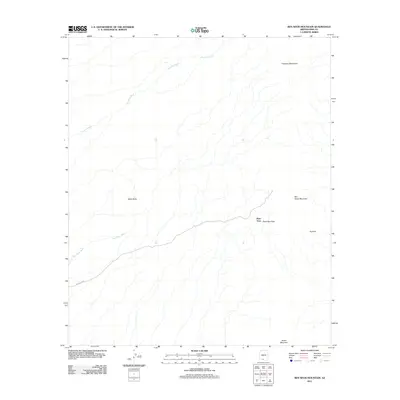
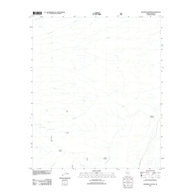
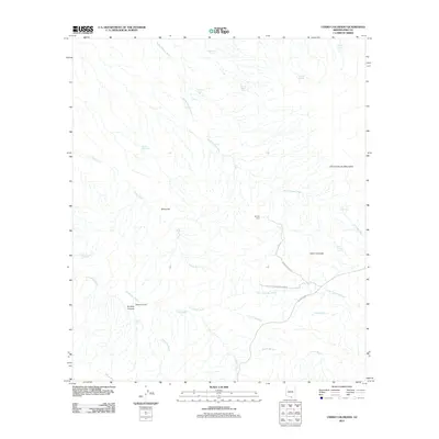
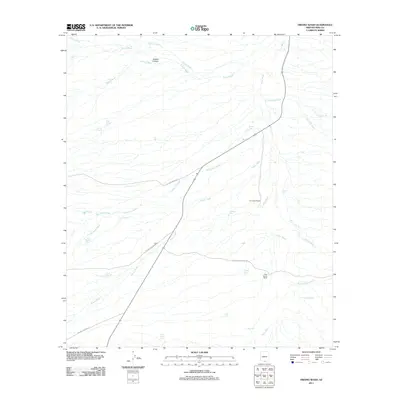
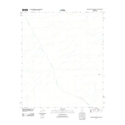
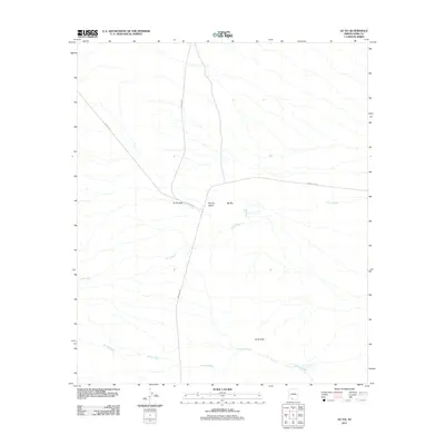
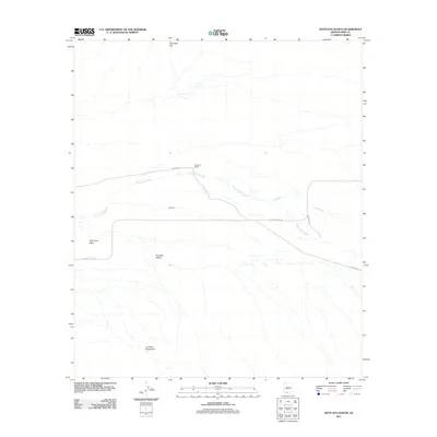
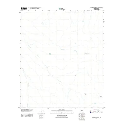
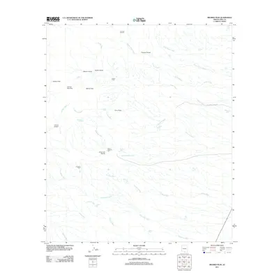
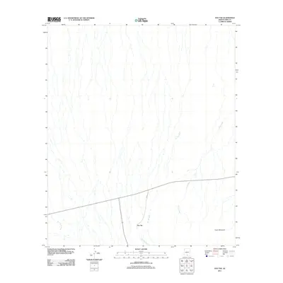
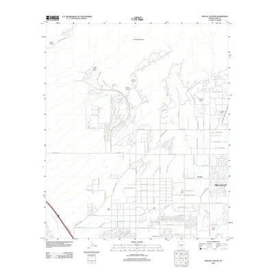
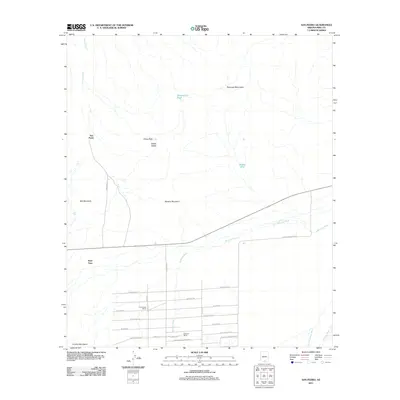
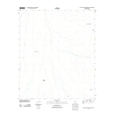
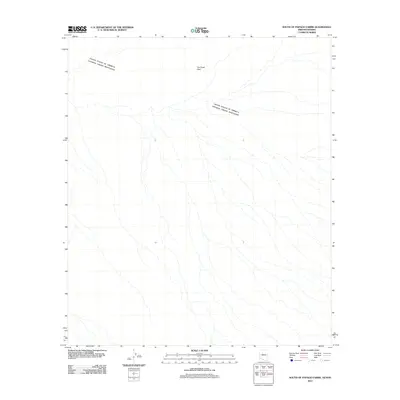
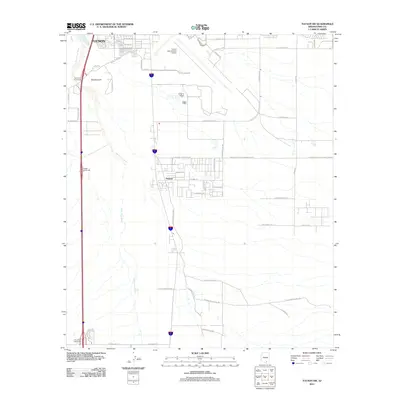
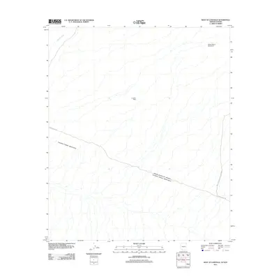
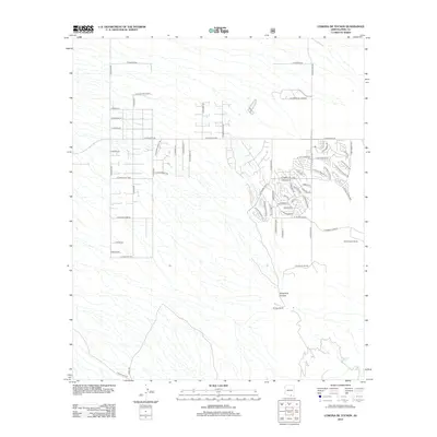
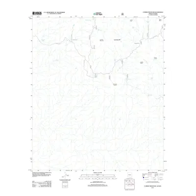
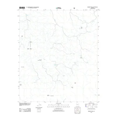
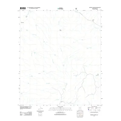
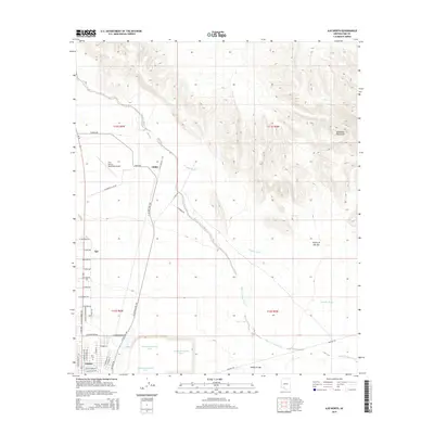
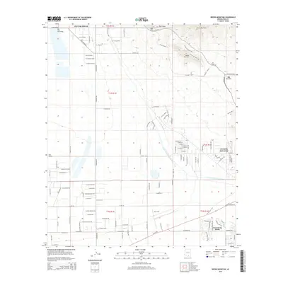
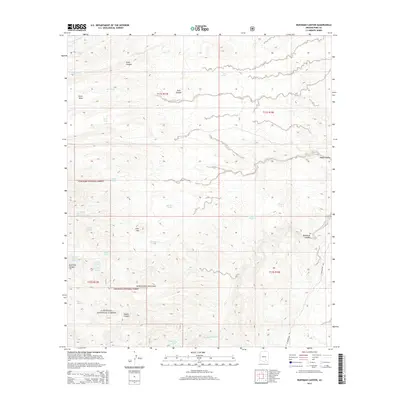
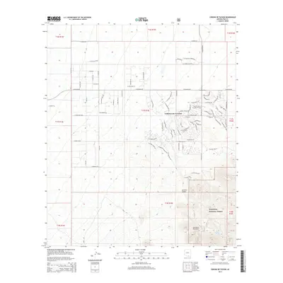
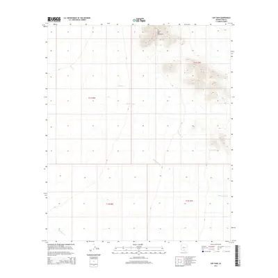
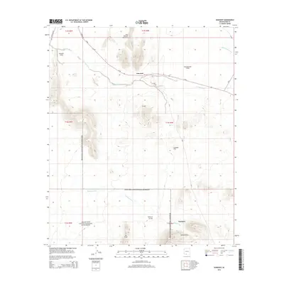
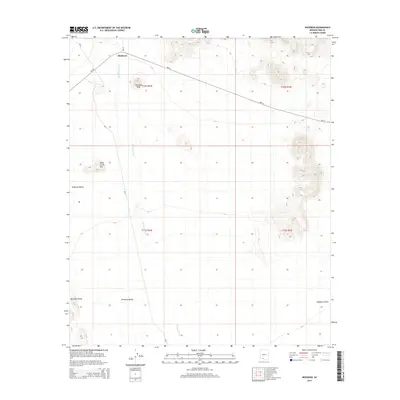
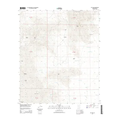
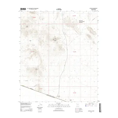
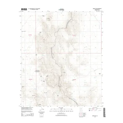
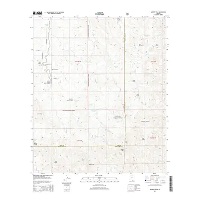
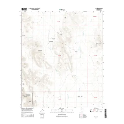
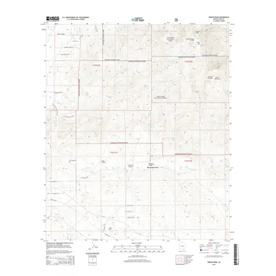
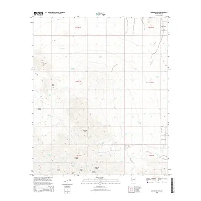
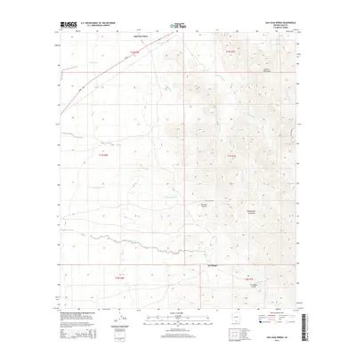
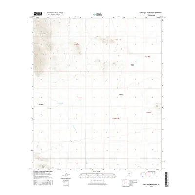
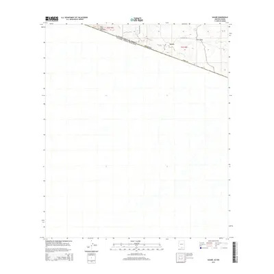
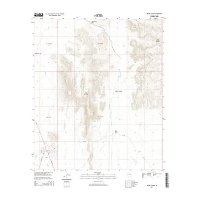
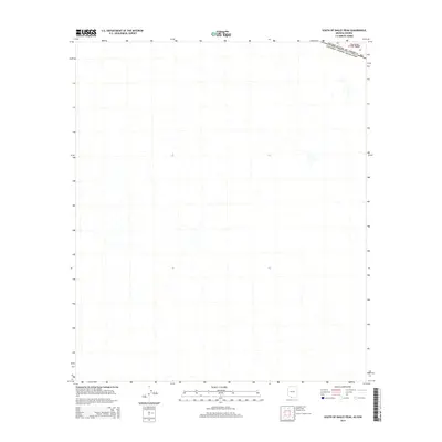
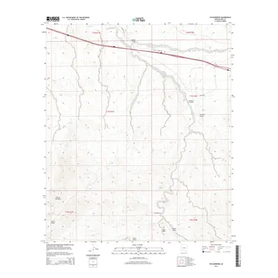
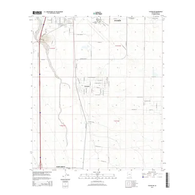
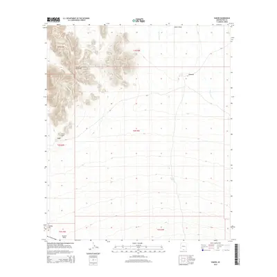
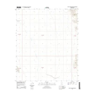
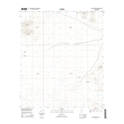
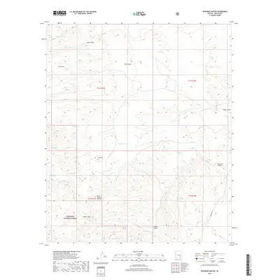
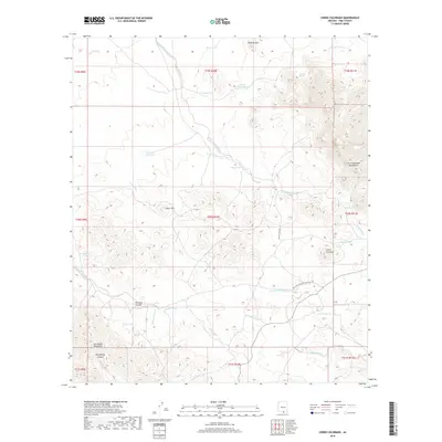
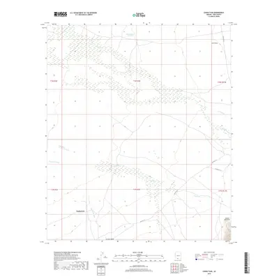
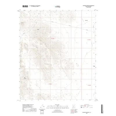
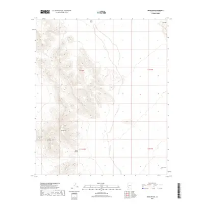
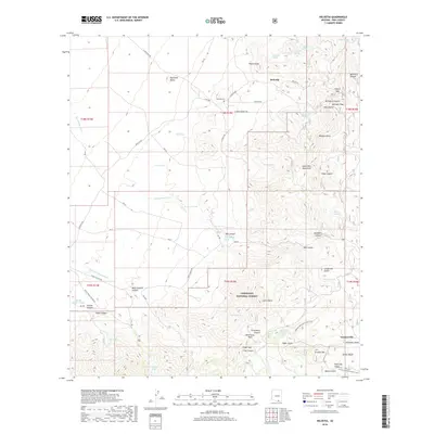
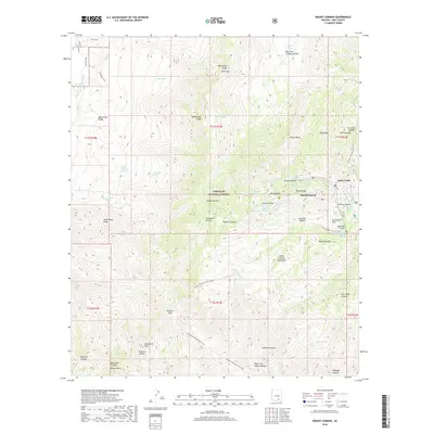
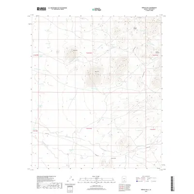
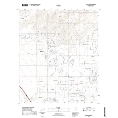
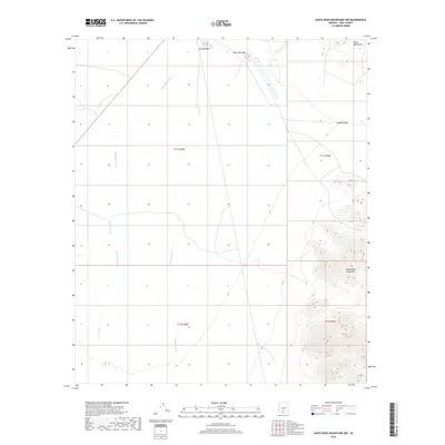
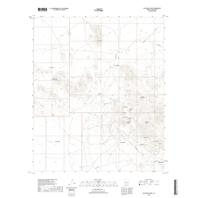
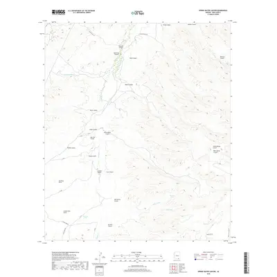
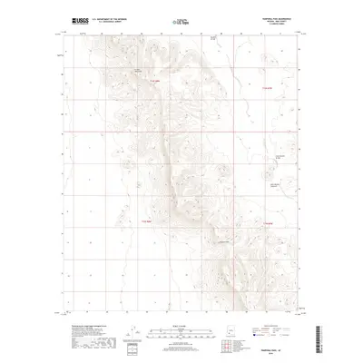
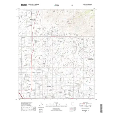
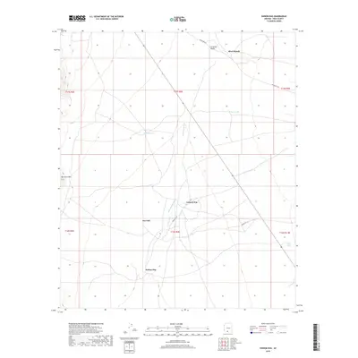
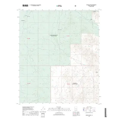
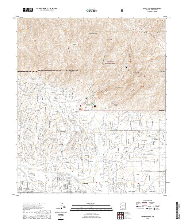
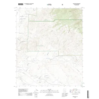
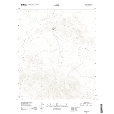
1957 Map of Sabino Canyon
USGS Topo · Published 1958About this map
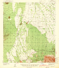
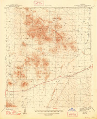
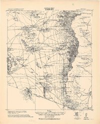
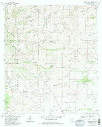
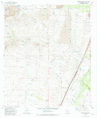
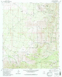
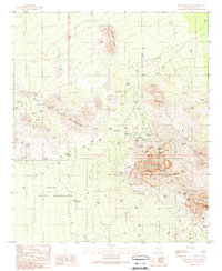
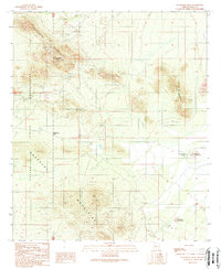
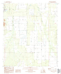
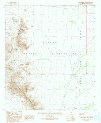
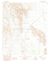
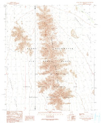
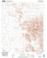
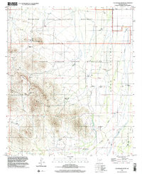
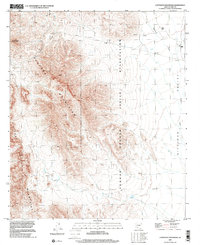
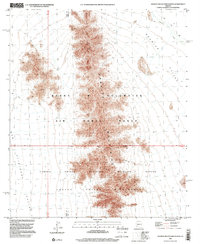
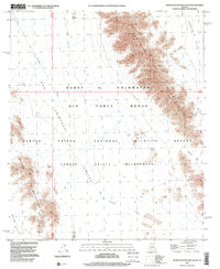
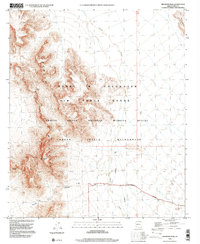
Coronado National Forest dominates the northern reaches of this mid-century survey, where the Santa Catalina foothills break into a complex network of drainages including Sabino Canyon, Bear Canyon, and Ventana Canyon. The landscape transitions from high summits like Rattlesnake Peak and Thimble Peak down to the sprawling wash systems of the basin floor. The era's institutional footprint is clearly visible through the Southern Arizona School For Boys and the Immaculate Heart Novitiate, set against a backdrop of desert agriculture and early suburban plotting.
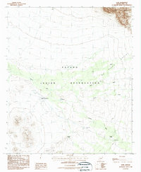
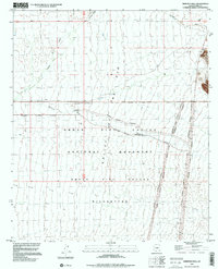
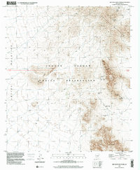
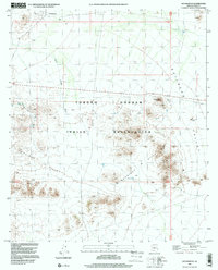
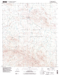
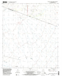
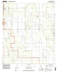
Find a feature on this map
51 named features on this map. Tap any name to fly to it.
Don’t see what you’re looking for? This feature index may not catch every label — zoom into the map to look around manually.
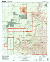
Map Details
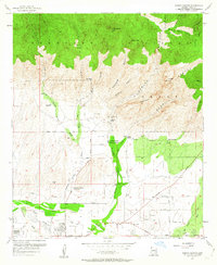
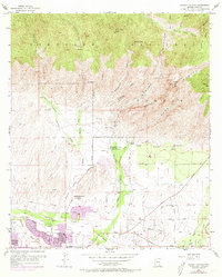
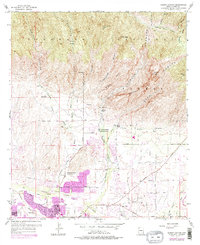
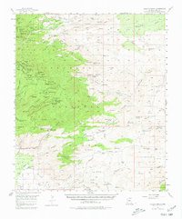
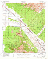
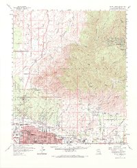
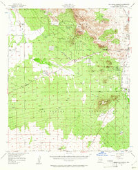
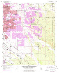
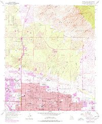
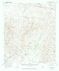
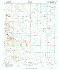
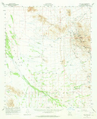
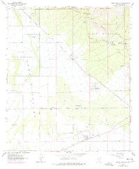
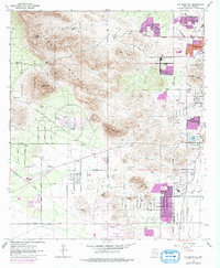
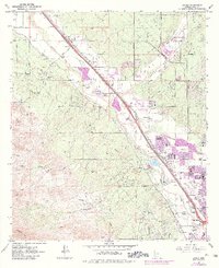
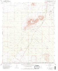
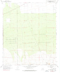
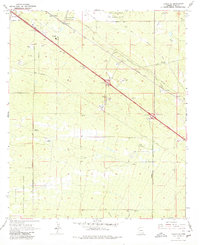
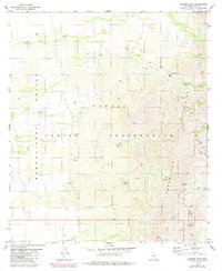
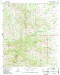
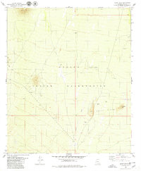
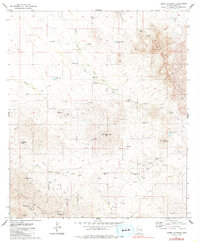
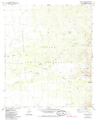
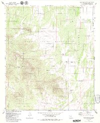
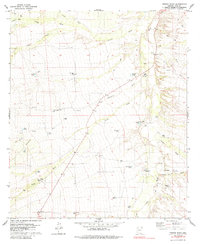
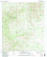
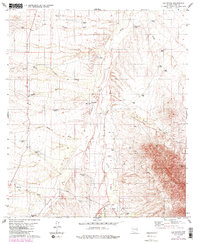
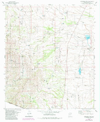
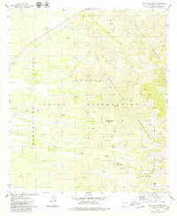
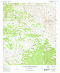
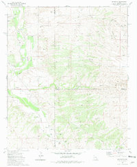
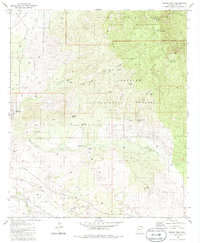
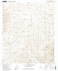
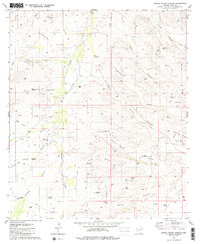
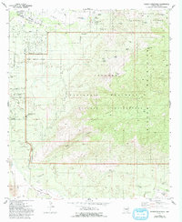
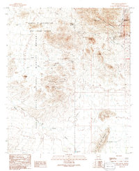
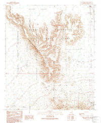
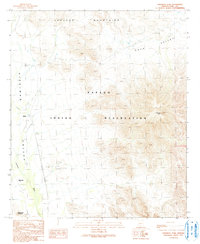
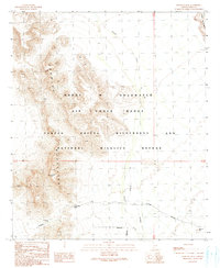
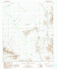
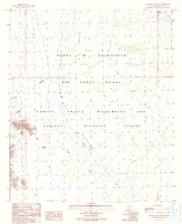
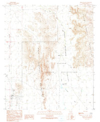
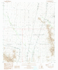
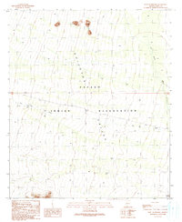
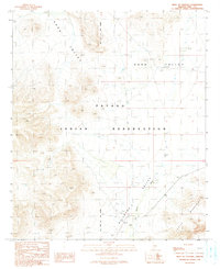
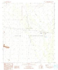
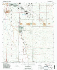
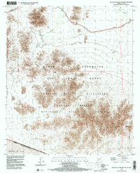
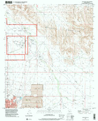
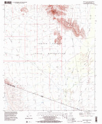
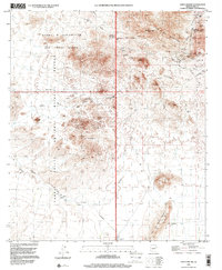
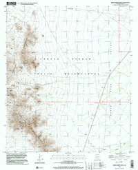
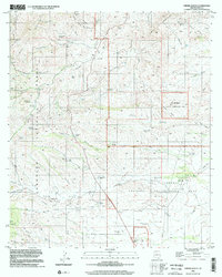
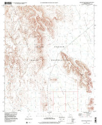
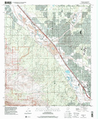
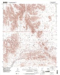
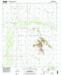
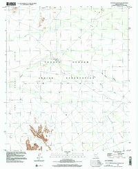
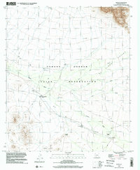
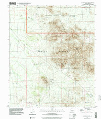
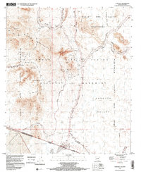
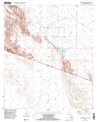
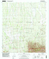
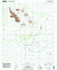
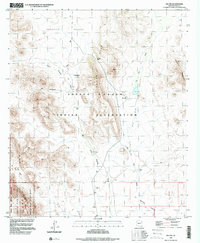
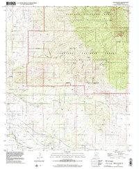
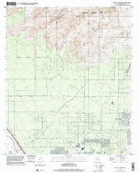
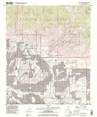
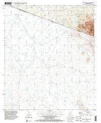
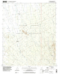
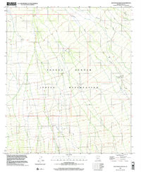
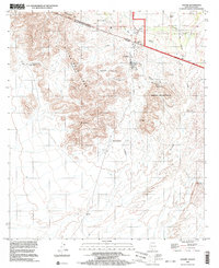
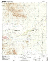
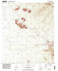
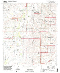
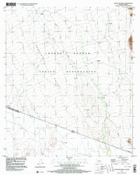
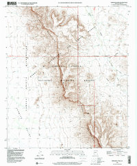
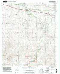
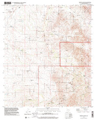
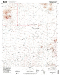
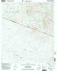
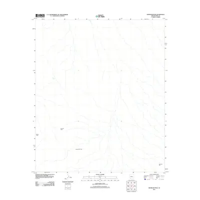
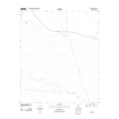
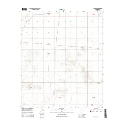
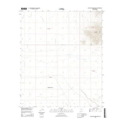
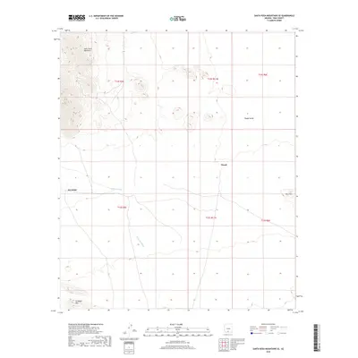
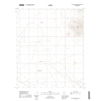
Editions of this 1957 Sabino Canyon Map
5 editions found
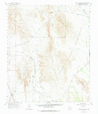
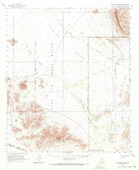
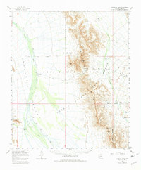
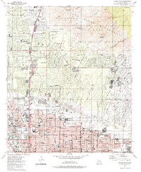
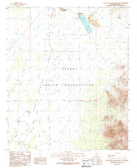
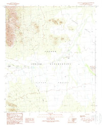
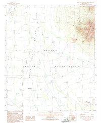
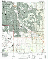
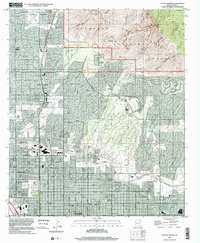
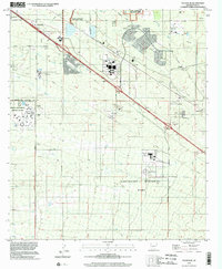
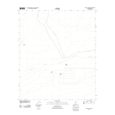
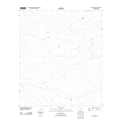
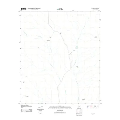
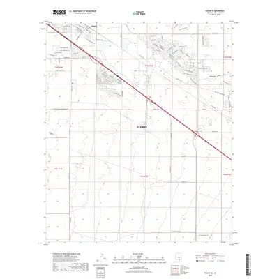
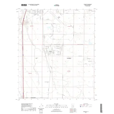
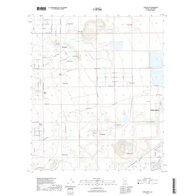
Historical Maps of Tucson Through Time
872 maps found
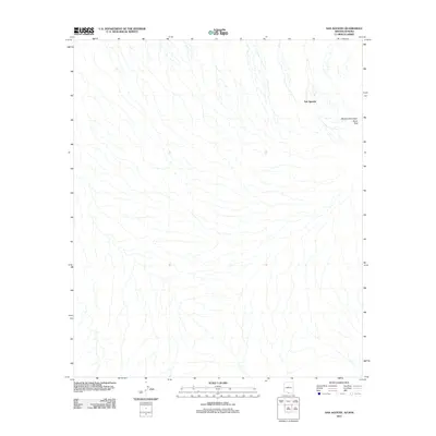
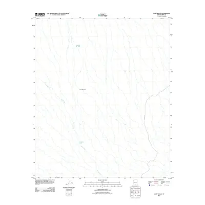
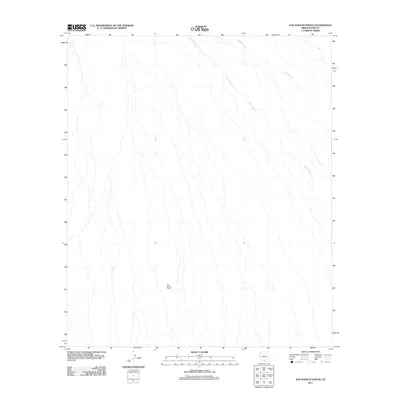
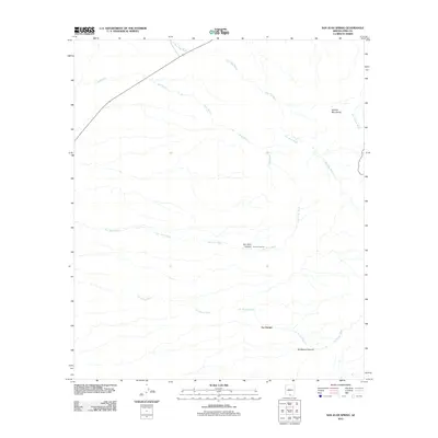
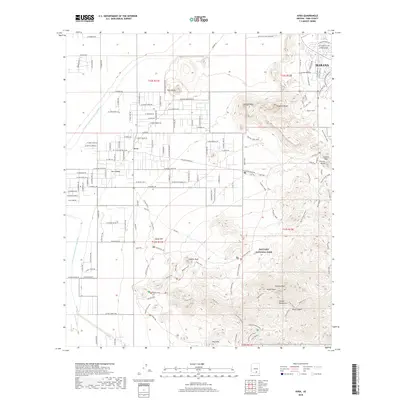
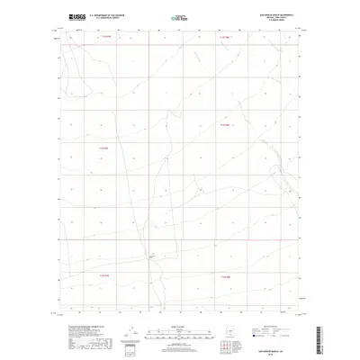
1925 Samaniego Peak
Pima County, AZ
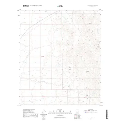
1925 San Xavier
Pima County, AZ
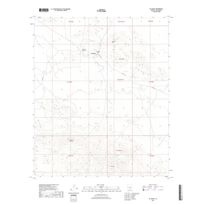
1926 Helvetia
Pima County, AZ
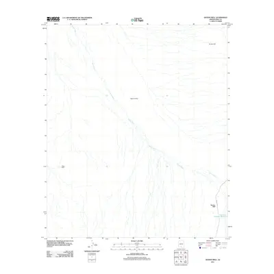
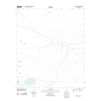
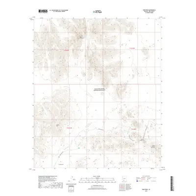
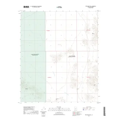
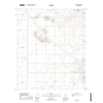
1934 Silver Bell
Pima County, AZ
1938 San Vicente
Pima County, AZ
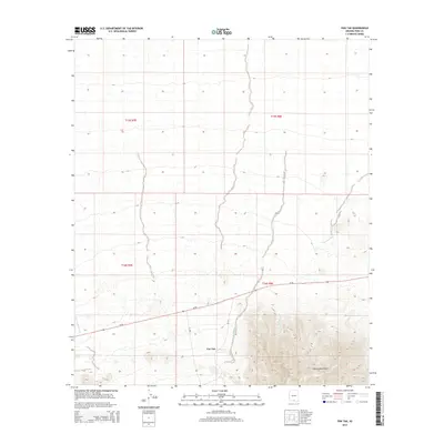
1939 Twin Buttes
Pima County, AZ
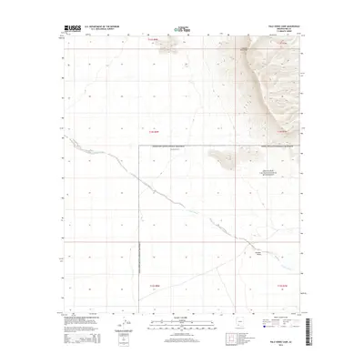
1940 Palo Alto Ranch
Pima County, AZ
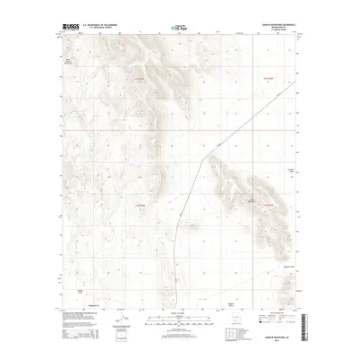
1941 Baboquivari Peak
Pima County, AZ
1941 Cocoraque Butte
Pima County, AZ
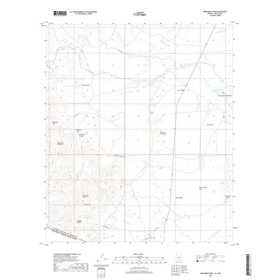
1941 Presumido Peak
Pima County, AZ
1941 San Vicente
Pima County, AZ
1941 Twin Buttes
Pima County, AZ
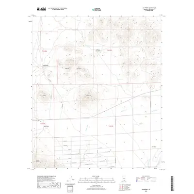
1941 Vamori
Pima County, AZ
1942 San Vicente
Pima County, AZ
1943 Cocoraque Butte
Pima County, AZ
1943 Fresnal
Pima County, AZ
1943 Palo Alto Ranch
Pima County, AZ
1943 Presumido Peak
Pima County, AZ
1943 San Xavier Mission
Pima County, AZ
1943 Vamori
Pima County, AZ
1944 Baboquivari Peak
Pima County, AZ
1947 Cortaro
Pima County, AZ
1948 San Vicente
Pima County, AZ
1948 Twin Buttes
Pima County, AZ
1954 Sonoyta
Pima County, AZ
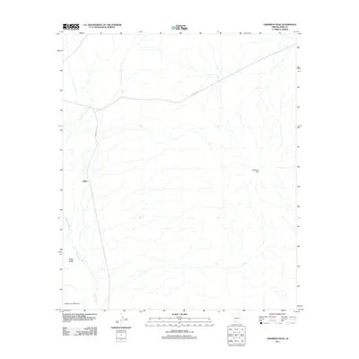
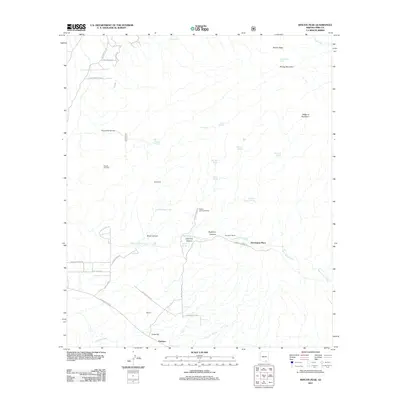
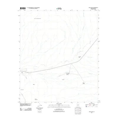
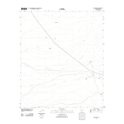
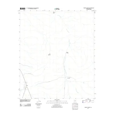
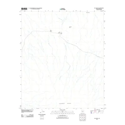
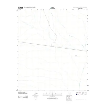
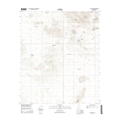
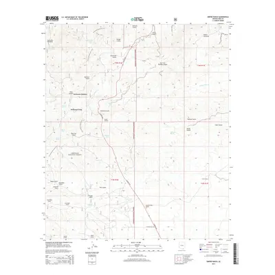
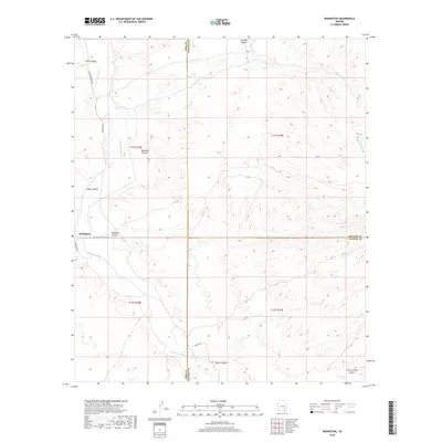
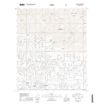
1957 Bellota Ranch
Pima County, AZ
1957 Cortaro
Pima County, AZ
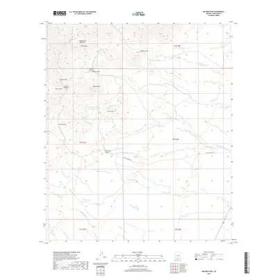
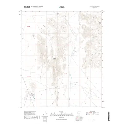
1957 Mount Lemmon
Pima County, AZ
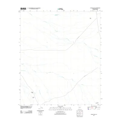
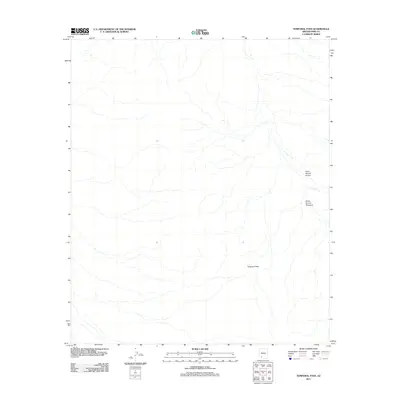
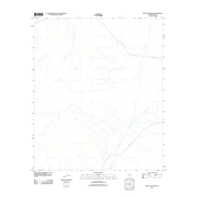
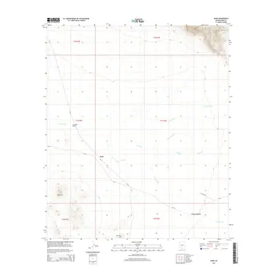
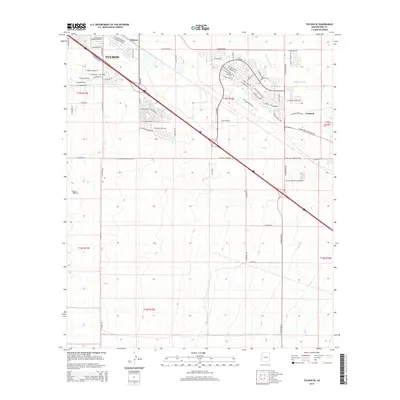
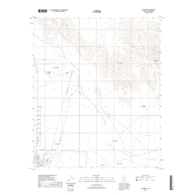
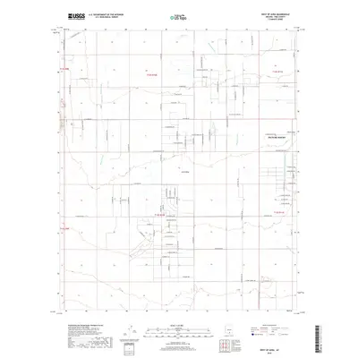
1957 Sabino Canyon
Pima County, AZ
1957 San Xavier Mission
Pima County, AZ
1957 Tucson East
Pima County, AZ
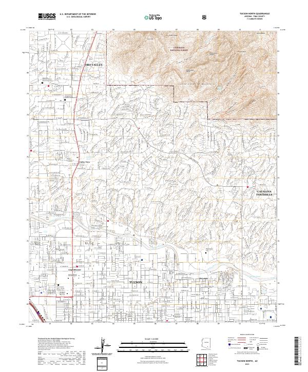
1957 Tucson North
Pima County, AZ
1957 Twin Buttes
Pima County, AZ
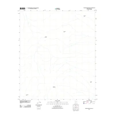
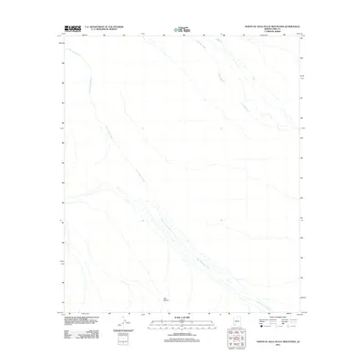
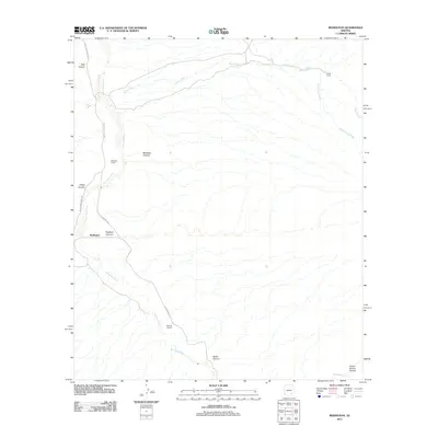
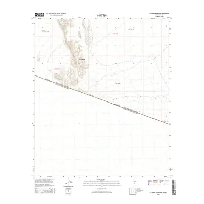
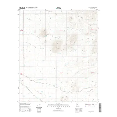
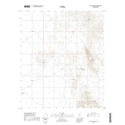
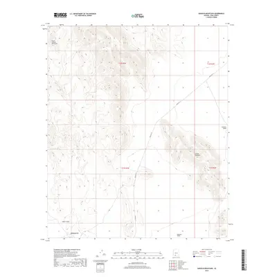
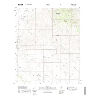
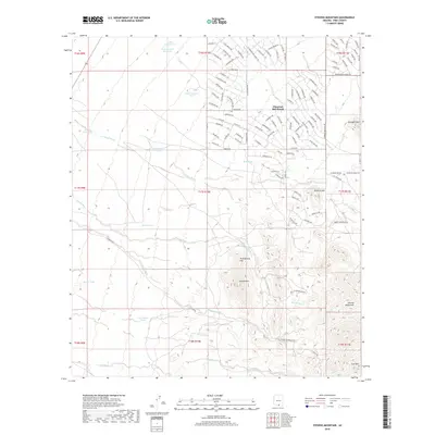
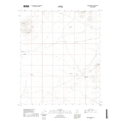
1958 Empire Mountains
Pima County, AZ
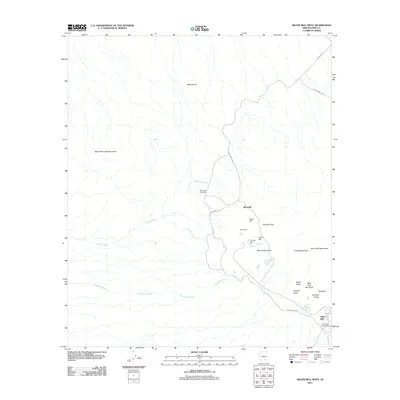
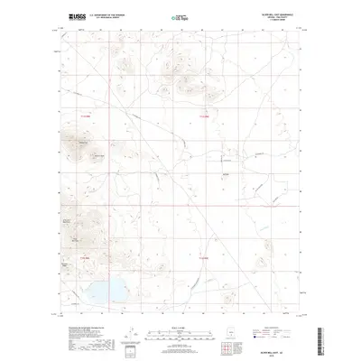
1959 Silver Bell Peak
Pima County, AZ
1959 Vaca Hills
Pima County, AZ
1963 Cimarron Peak
Pima County, AZ
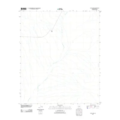
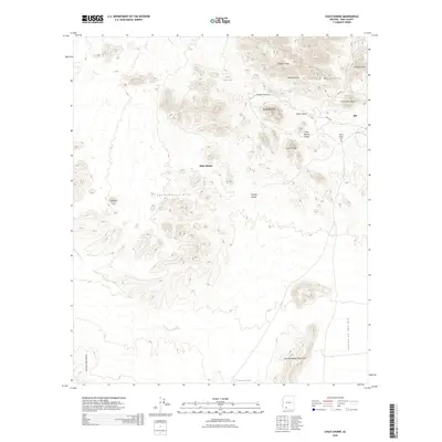
1963 Diaz Peak
Pima County, AZ
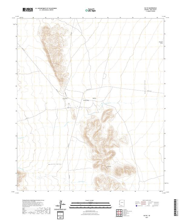
1963 Gu Achi
Pima County, AZ
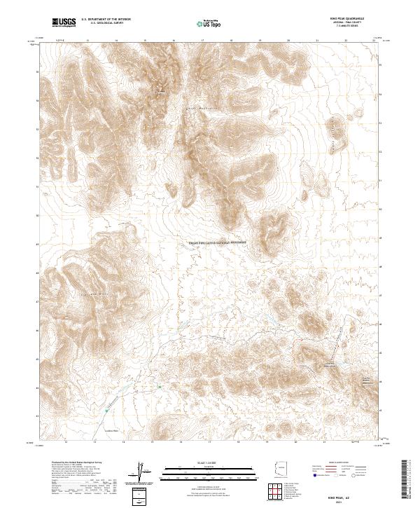
1963 Kino Peak
Pima County, AZ
1963 Kom Vo
Pima County, AZ
1963 La Lesna Mts.
Pima County, AZ
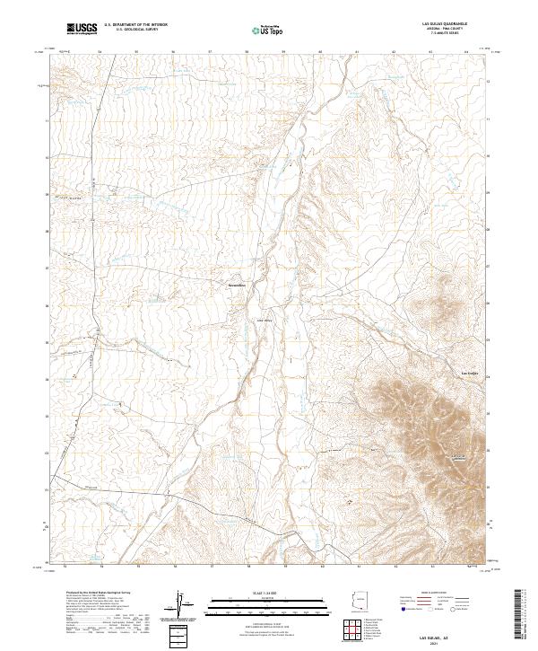
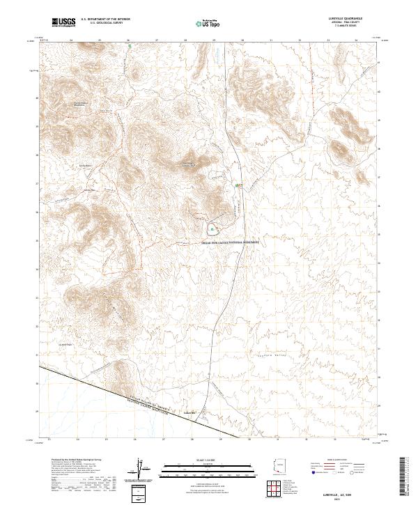
1963 Lukeville
Pima County, AZ
1963 Lukeville
Pima County, AZ
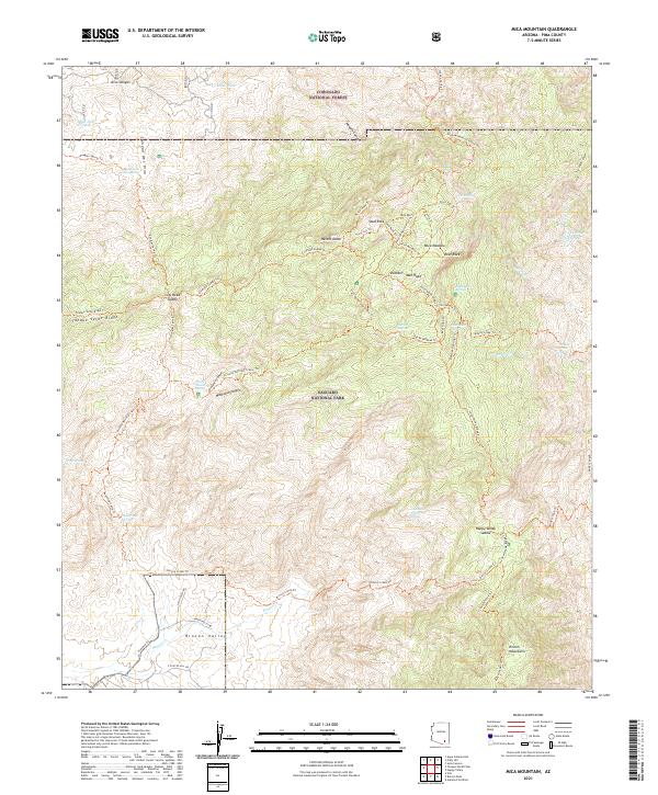
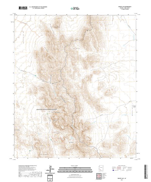
1963 Mt. Ajo
Pima County, AZ
1963 Pisinimo
Pima County, AZ
1963 Quijotoa Mts
Pima County, AZ
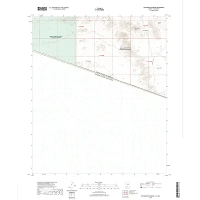
1963 Quitobaquito Springs
Pima County, AZ
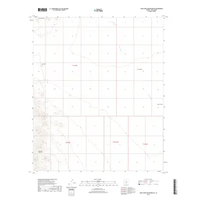
1963 Santa Rosa Mountains
Pima County, AZ
1963 Sikort Chuapo Mts
Pima County, AZ
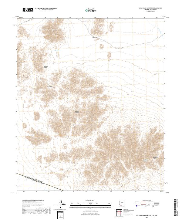
1964 Agua Dulce Mts
Pima County, AZ
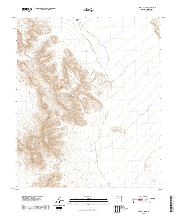
1964 Growler Peak
Pima County, AZ
1968 Avra
Pima County, AZ
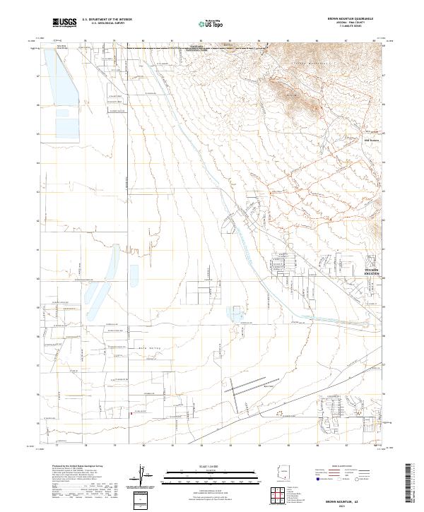
1968 Brown Mountain
Pima County, AZ
1968 Cat Mountain
Pima County, AZ
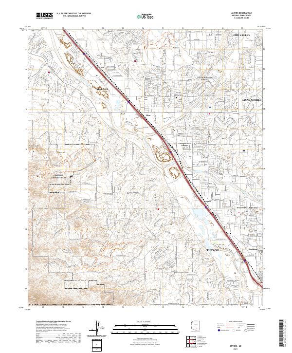
1968 Jaynes
Pima County, AZ
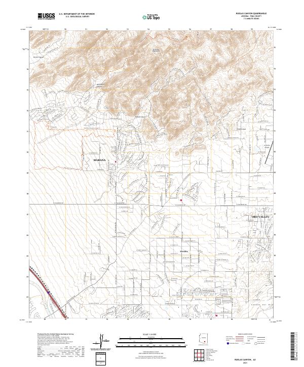
1968 Ruelas Canyon
Pima County, AZ
1968 San Xavier Mission
Pima County, AZ
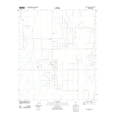
1968 San Xavier Mission SW
Pima County, AZ
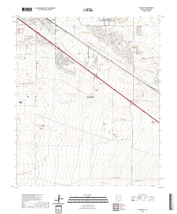
1968 Tucson SE
Pima County, AZ
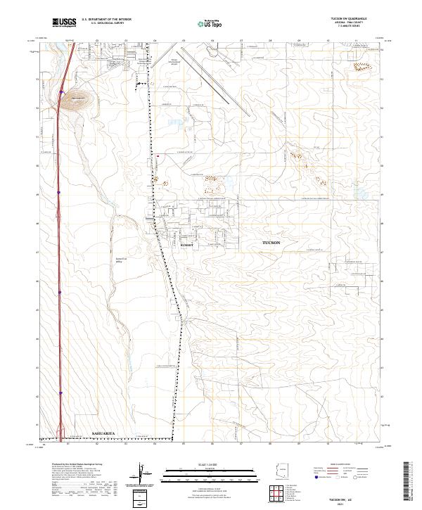
1968 Tucson SW
Pima County, AZ
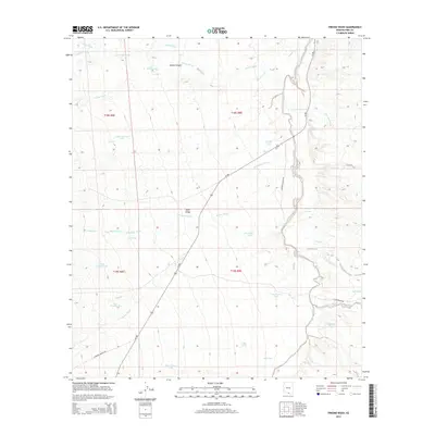
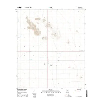
1978 Fresno Wash
Pima County, AZ
1978 San Ignacio Ranch
Pima County, AZ
1978 San Juan Spring
Pima County, AZ
1978 Sil Nakya
Pima County, AZ
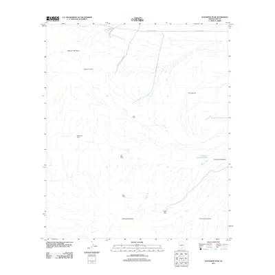
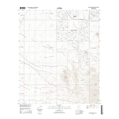
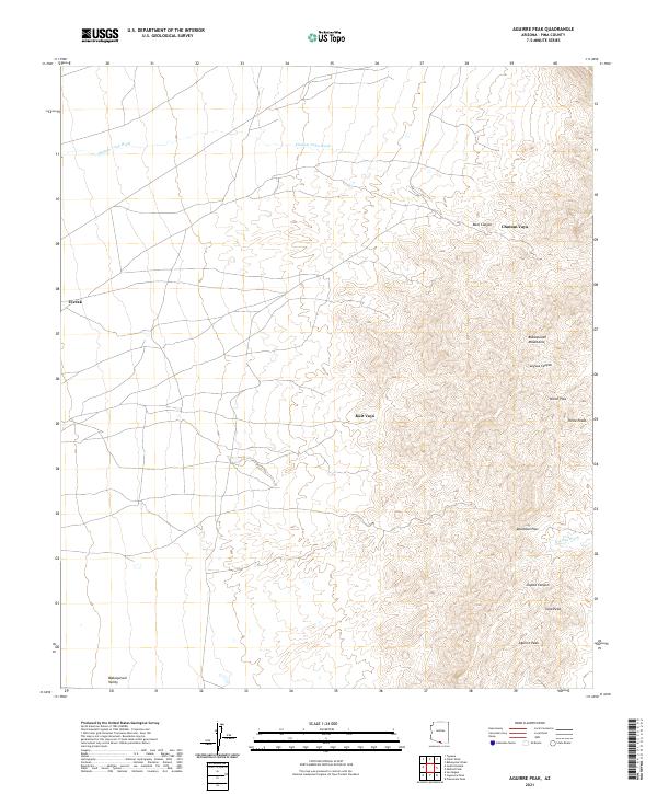
1979 Aguirre Peak
Pima County, AZ
1979 Baboquivari Peak
Pima County, AZ
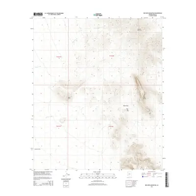
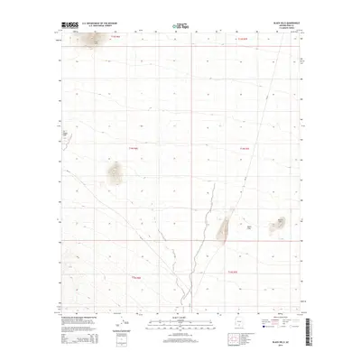
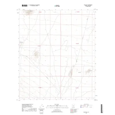
1979 Black Hills
Pima County, AZ
1979 Caponera Peak
Pima County, AZ
1979 Cerro Colorado
Pima County, AZ
1979 Chiuli Shaik
Pima County, AZ
1979 Cocoraque Butte
Pima County, AZ
1979 Cumero Mtn
Pima County, AZ
1979 Fresno Wash
Pima County, AZ
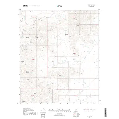
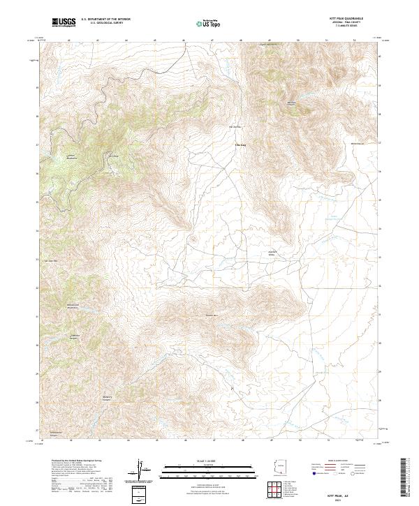
1979 Kitt Peak
Pima County, AZ
1979 Las Guijas
Pima County, AZ
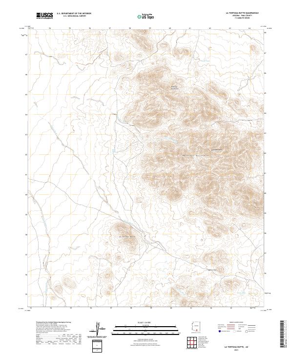
1979 La Tortuga Butte
Pima County, AZ
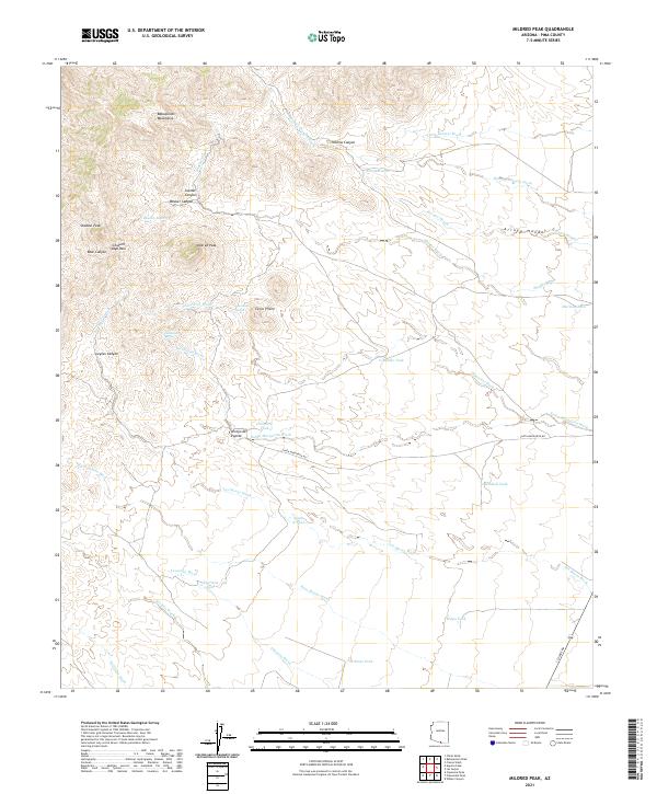
1979 Mildred Peak
Pima County, AZ
1979 Palo Alto Ranch
Pima County, AZ
1979 Pan Tak
Pima County, AZ
1979 Penitas Hills
Pima County, AZ
1979 Presumido Peak
Pima County, AZ
1979 San Agustin
Pima County, AZ
1979 Sand Wells
Pima County, AZ
1979 San Ignacio Ranch
Pima County, AZ
1979 San Juan Spring
Pima County, AZ
1979 San Pedro
Pima County, AZ
1979 Sasabe
Pima County, AZ
1979 Sells East
Pima County, AZ
1979 Sells West
Pima County, AZ
1979 Sil Nakya
Pima County, AZ
1979 Stevens Mtn.
Pima County, AZ
1979 Vamori
Pima County, AZ
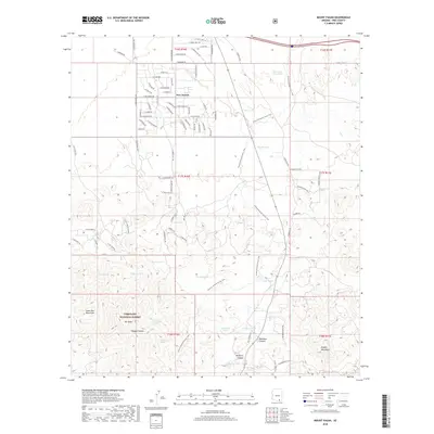
1980 Wilbur Canyon
Pima County, AZ
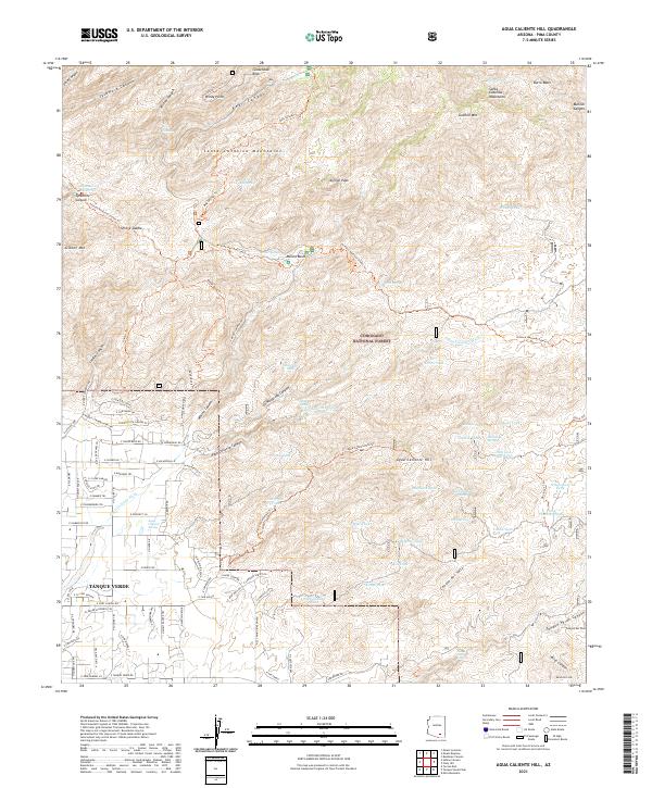
1981 Agua Caliente Hill
Pima County, AZ
1981 Batamote Hills
Pima County, AZ

1981 Buehman Canyon
Pima County, AZ
1981 Corona De Tucson
Pima County, AZ
1981 Empire Ranch
Pima County, AZ
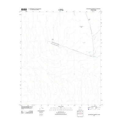
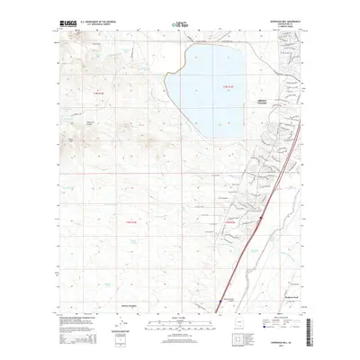
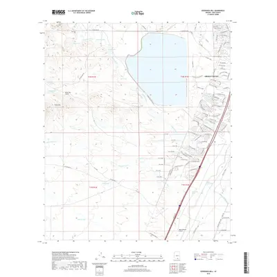
1981 Esperanza Mill
Pima County, AZ
1981 Helvetia
Pima County, AZ
1981 Mica Mountain
Pima County, AZ
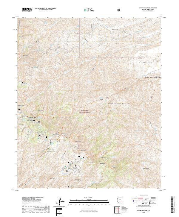
1981 Mount Bigelow
Pima County, AZ
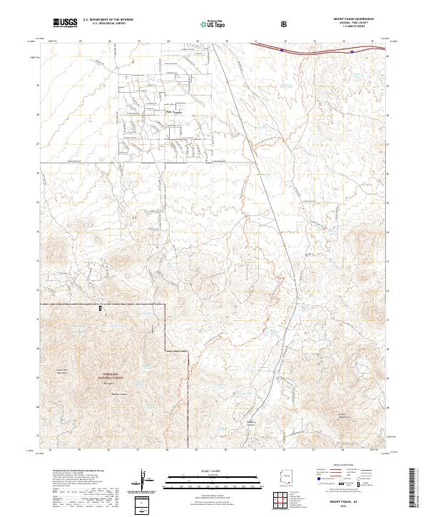
1981 Mount Fagan
Pima County, AZ
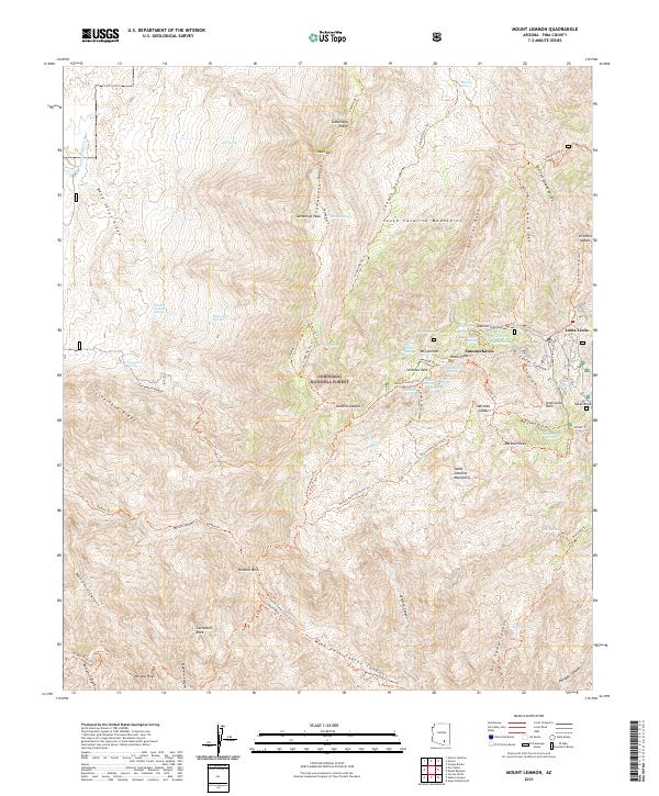
1981 Mt. Lemmon
Pima County, AZ
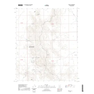
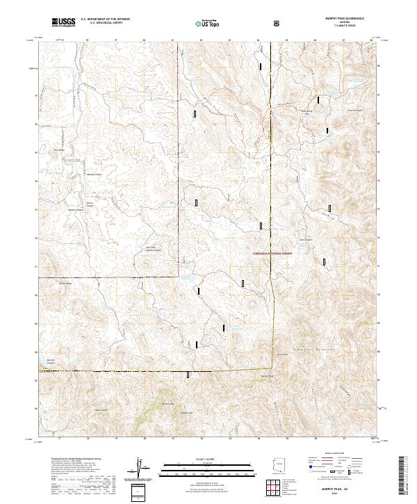
1981 Murphy Peak
Pima County, AZ
1981 Piety Hill
Pima County, AZ
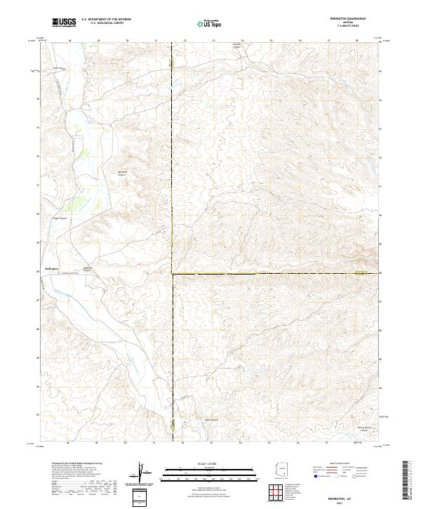
1981 Redington
Pima County, AZ
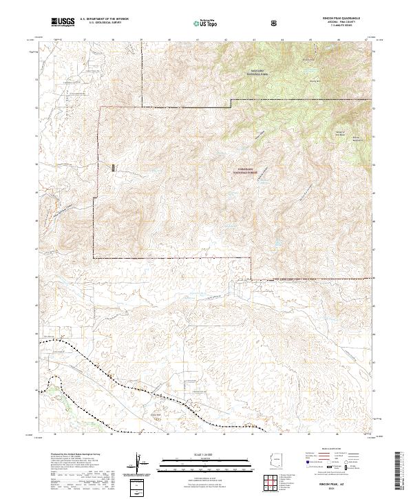
1981 Rincon Peak
Pima County, AZ
1981 Samaniego Peak
Pima County, AZ
1981 Saucito Mtn.
Pima County, AZ
1981 Spring Water Canyon
Pima County, AZ
1981 Tanque Verde Peak
Pima County, AZ
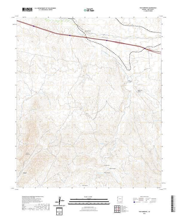
1981 The Narrows
Pima County, AZ
1981 Twin Buttes
Pima County, AZ
1982 Tucson SE
Pima County, AZ
1983 Tucson East
Pima County, AZ
1983 Tucson SW
Pima County, AZ
1984 Tucson North
Pima County, AZ
1988 Bailey Peak
Pima County, AZ
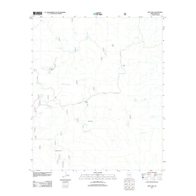
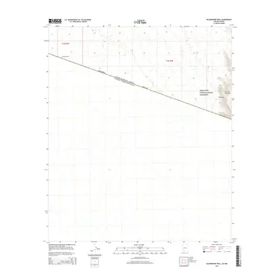
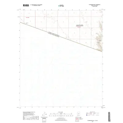
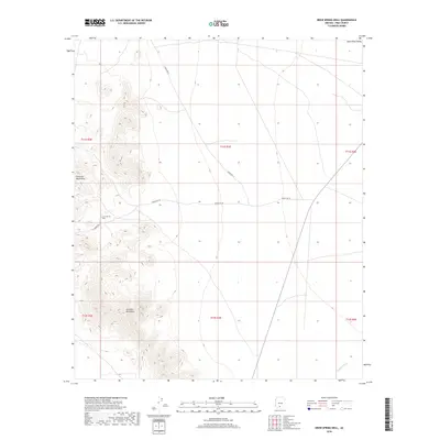
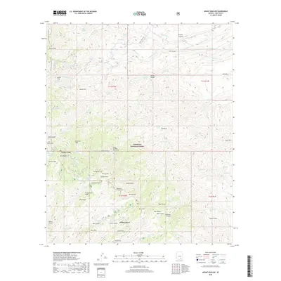
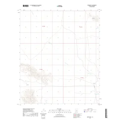
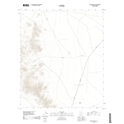
1988 Blankenship Well
Pima County, AZ
1988 Chukut Kuk
Pima County, AZ
1988 Chupan Mountain
Pima County, AZ
1988 Diaz Peak
Pima County, AZ
1988 Kom Vo
Pima County, AZ
1988 Kots Kug Ranch
Pima County, AZ
1988 Kupk
Pima County, AZ

1988 La Lesna Mountains
Pima County, AZ
1988 Lukeville
Pima County, AZ
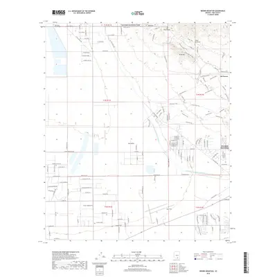
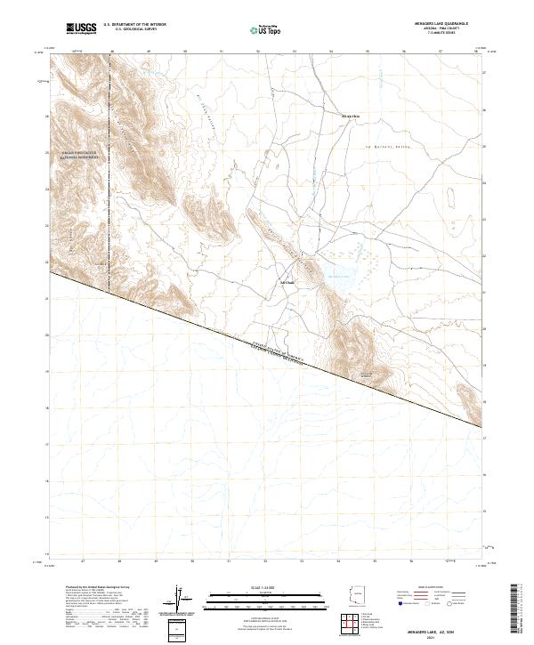
1988 Menagers Lake
Pima County, AZ
1988 Papago Farms
Pima County, AZ
1988 Pia Oik
Pima County, AZ
1988 Quitobaquito Springs
Pima County, AZ
1988 South of Bailey Peak
Pima County, AZ
1988 South of Lukeville
Pima County, AZ
1988 South of Papago Farms
Pima County, AZ
1988 Tecolote Ranch
Pima County, AZ
1988 West of Lukeville
Pima County, AZ
1988 West of Quitobaquito Springs
Pima County, AZ
1989 Gap Tank
Pima County, AZ
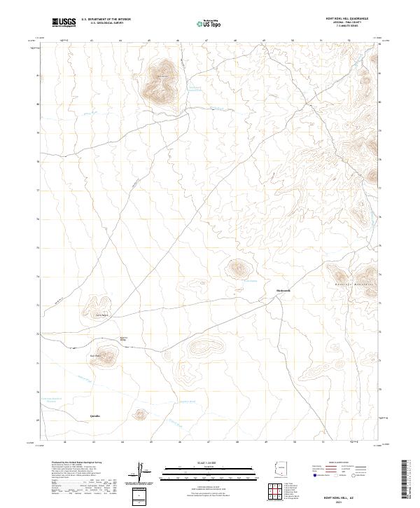
1989 Koht Kohl Hill
Pima County, AZ
1989 Queens Well
Pima County, AZ
1989 Santa Rosa Mountains NE
Pima County, AZ
1989 Santa Rosa Mountains NW
Pima County, AZ
1989 Santa Rosa Mountains SE
Pima County, AZ
1989 Santa Rosa Mountains SW
Pima County, AZ
1989 Silver Bell East
Pima County, AZ
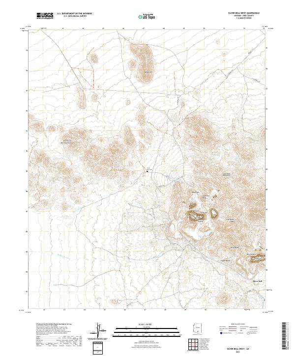
1989 Silver Bell West
Pima County, AZ
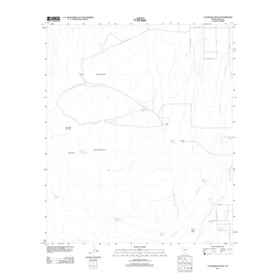
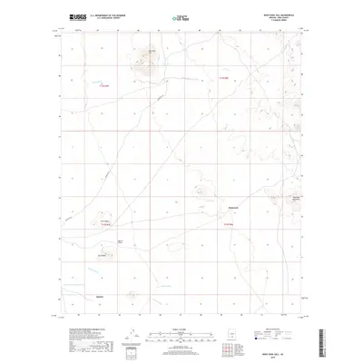
1989 Waterman Peak
Pima County, AZ
1989 West of Avra
Pima County, AZ
1989 West of Marana
Pima County, AZ
1990 Agua Dulce Mountains
Pima County, AZ
1990 Ajo North
Pima County, AZ
1990 Ajo South
Pima County, AZ
1990 Antelope Hills
Pima County, AZ
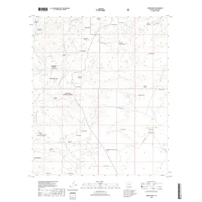
1990 Armenta Well
Pima County, AZ
1990 Bates Well
Pima County, AZ
1990 Ben Nevis Mountain
Pima County, AZ
1990 Burro Gap
Pima County, AZ
1990 Chico Shunie
Pima County, AZ
1990 Childs Mountain
Pima County, AZ
1990 Cimarron Peak
Pima County, AZ
1990 Coffeepot Mountain
Pima County, AZ
1990 Drew Spring Well
Pima County, AZ
1990 Gakolik Mountains
Pima County, AZ
1990 Granite Mountains North
Pima County, AZ
1990 Granite Mountains South
Pima County, AZ
1990 Growler Peak
Pima County, AZ
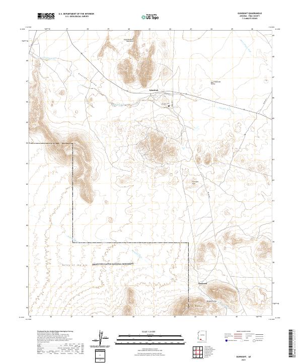
1990 Gunsight
Pima County, AZ
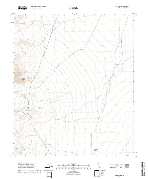
1990 Gurli Put Vo
Pima County, AZ
1990 Gu Vo
Pima County, AZ
1990 Hickiwan
Pima County, AZ
1990 Hotason Vo
Pima County, AZ
1990 Kino Peak
Pima County, AZ
1990 Mount Ajo
Pima County, AZ
1990 North of Agua Dulce Mountains
Pima County, AZ
1990 O'Neill Hills
Pima County, AZ
1990 Palo Verde Camp
Pima County, AZ
1990 Pisinimo
Pima County, AZ
1990 Pozo Nuevo Well
Pima County, AZ
1990 Saguaro Gap Well
Pima County, AZ
1990 Sikort Chuapo
Pima County, AZ
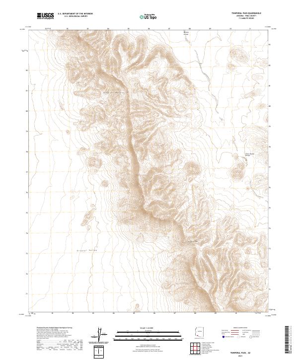
1990 Temporal Pass
Pima County, AZ
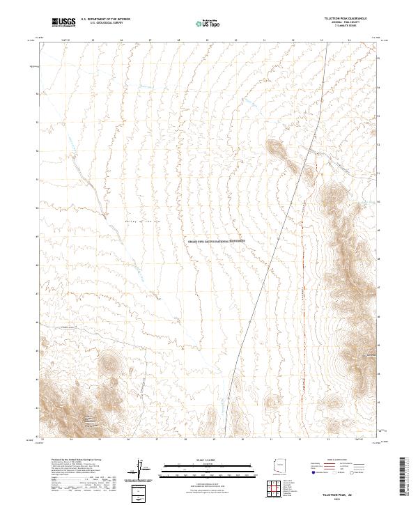
1990 Tillotson Peak
Pima County, AZ
1990 Vainom Kug
Pima County, AZ
1990 Vaya Chin
Pima County, AZ
1990 West of Growler Peak
Pima County, AZ
1990 West of Pisinimo
Pima County, AZ
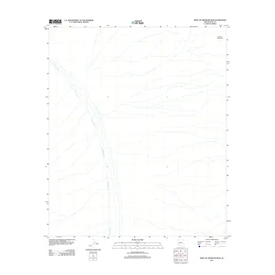
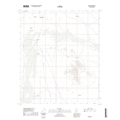
1990 West of Ventana
Pima County, AZ
1990 West of Wahak Hotrontk
Pima County, AZ
1990 Window Mountain
Pima County, AZ
1992 Avra
Pima County, AZ
1992 Brown Mountain
Pima County, AZ
1992 Cat Mountain
Pima County, AZ
1992 Jaynes
Pima County, AZ
1992 Ruelas Canyon
Pima County, AZ
1992 Sabino Canyon
Pima County, AZ
1992 San Pedro
Pima County, AZ
1992 San Xavier Mission
Pima County, AZ
1992 San Xavier Mission SW
Pima County, AZ
1992 Tucson East
Pima County, AZ
1992 Tucson North
Pima County, AZ
1992 Tucson SE
Pima County, AZ
1992 Tucson SW
Pima County, AZ
1994 Lukeville
Pima County, AZ
1994 Quitobaquito Hills
Pima County, AZ

1994 Silver Bell Mountains
Pima County, AZ
1996 Agua Caliente Hill
Pima County, AZ
1996 Agua Dulce Mountains
Pima County, AZ
1996 Ajo North
Pima County, AZ
1996 Ajo South
Pima County, AZ
1996 Antelope Hills
Pima County, AZ
1996 Armenta Well
Pima County, AZ
1996 Avra
Pima County, AZ
1996 Bailey Peak
Pima County, AZ
1996 Bates Well
Pima County, AZ
1996 Ben Nevis Mountain
Pima County, AZ
1996 Black Hills
Pima County, AZ
1996 Blankenship Well
Pima County, AZ
1996 Brown Mountain
Pima County, AZ
1996 Buehman Canyon
Pima County, AZ
1996 Burro Gap
Pima County, AZ
1996 Caponera Peak
Pima County, AZ
1996 Cat Mountain
Pima County, AZ
1996 Chico Shunie
Pima County, AZ
1996 Childs Mountain
Pima County, AZ
1996 Chukut Kuk
Pima County, AZ
1996 Chupan Mountain
Pima County, AZ
1996 Cimarron Peak
Pima County, AZ
1996 Cocoraque Butte
Pima County, AZ
1996 Coffeepot Mountain
Pima County, AZ
1996 Corona De Tucson
Pima County, AZ

1996 Diaz Peak
Pima County, AZ
1996 Drew Spring Well
Pima County, AZ
1996 Empire Ranch
Pima County, AZ
1996 Gakolik Mountains
Pima County, AZ
1996 Gap Tank
Pima County, AZ
1996 Granite Mountains North
Pima County, AZ
1996 Granite Mountains South
Pima County, AZ
1996 Growler Peak
Pima County, AZ
1996 Gunsight
Pima County, AZ
1996 Gurli Put Vo
Pima County, AZ
1996 Gu Vo
Pima County, AZ
1996 Helvetia
Pima County, AZ
1996 Hickiwan
Pima County, AZ
1996 Hotason Vo
Pima County, AZ
1996 Jaynes
Pima County, AZ
1996 Kino Peak
Pima County, AZ
1996 Koht Kohl Hill
Pima County, AZ
1996 Kom Vo
Pima County, AZ
1996 Kots Kug Ranch
Pima County, AZ
1996 Kupk
Pima County, AZ
1996 La Lesna Mountains
Pima County, AZ
1996 La Tortuga Butte
Pima County, AZ
1996 Lukeville
Pima County, AZ
1996 Menagers Lake
Pima County, AZ
1996 Mica Mountain
Pima County, AZ
1996 Mount Ajo
Pima County, AZ
1996 Mount Bigelow
Pima County, AZ
1996 Mount Fagan
Pima County, AZ
1996 Mount Lemmon
Pima County, AZ
1996 Murphy Peak
Pima County, AZ
1996 North of Agua Dulce Mountains
Pima County, AZ
1996 O'Neill Hills
Pima County, AZ
1996 Palo Verde Camp
Pima County, AZ
1996 Pan Tak
Pima County, AZ
1996 Papago Farms
Pima County, AZ
1996 Pia Oik
Pima County, AZ
1996 Piety Hill
Pima County, AZ
1996 Pisinimo
Pima County, AZ
1996 Pozo Nuevo Well
Pima County, AZ

1996 Queens Well
Pima County, AZ
1996 Quitobaquito Springs
Pima County, AZ
1996 Redington
Pima County, AZ
1996 Rincon Peak
Pima County, AZ
1996 Ruelas Canyon
Pima County, AZ
1996 Sabino Canyon
Pima County, AZ
1996 Saguaro Gap Well
Pima County, AZ
1996 San Agustin
Pima County, AZ
1996 Sand Wells
Pima County, AZ
1996 San Ignacio Ranch
Pima County, AZ
1996 San Pedro
Pima County, AZ
1996 Santa Rosa Mountains NE
Pima County, AZ
1996 Santa Rosa Mountains NW
Pima County, AZ
1996 Santa Rosa Mountains SE
Pima County, AZ
1996 Santa Rosa Mountains SW
Pima County, AZ
1996 Sasabe
Pima County, AZ
1996 Sells East
Pima County, AZ
1996 Sells West
Pima County, AZ
1996 Sikort Chuapo
Pima County, AZ
1996 Sil Nakya
Pima County, AZ
1996 Silver Bell East
Pima County, AZ
1996 Silver Bell West
Pima County, AZ
1996 South of Bailey Peak
Pima County, AZ
1996 South of Lukeville
Pima County, AZ
1996 South of Papago Farms
Pima County, AZ
1996 Spring Water Canyon
Pima County, AZ
1996 Tanque Verde Peak
Pima County, AZ
1996 Tecolote Ranch
Pima County, AZ
1996 Temporal Pass
Pima County, AZ
1996 The Narrows
Pima County, AZ
1996 Tillotson Peak
Pima County, AZ
1996 Tucson East
Pima County, AZ
1996 Tucson North
Pima County, AZ
1996 Tucson SE
Pima County, AZ
1996 Tucson SW
Pima County, AZ
1996 Vainom Kug
Pima County, AZ
1996 Vamori
Pima County, AZ
1996 Vaya Chin
Pima County, AZ
1996 Waterman Peak
Pima County, AZ
1996 West of Avra
Pima County, AZ
1996 West of Growler Peak
Pima County, AZ
1996 West of Lukeville
Pima County, AZ
1996 West of Marana
Pima County, AZ
1996 West of Pisinimo
Pima County, AZ
1996 West of Quitobaquito Springs
Pima County, AZ
1996 West of Ventana
Pima County, AZ
1996 West of Wahak Hotrontk
Pima County, AZ
1996 Wilbur Canyon
Pima County, AZ
1996 Window Mountain
Pima County, AZ
2004 Cumero Mountain
Pima County, AZ
2004 Saucito Mountain
Pima County, AZ
2011 Agua Caliente Hill
Pima County, AZ
2011 Agua Dulce Mountains
Pima County, AZ
2011 Aguirre Peak
Pima County, AZ
2011 Ajo North
Pima County, AZ
2011 Ajo South
Pima County, AZ
2011 Antelope Hills
Pima County, AZ
2011 Armenta Well
Pima County, AZ
2011 Avra
Pima County, AZ
2011 Baboquivari Peak
Pima County, AZ
2011 Bailey Peak
Pima County, AZ
2011 Batamote Hills
Pima County, AZ

2011 Bates Well
Pima County, AZ
2011 Ben Nevis Mountain
Pima County, AZ
2011 Black Hills
Pima County, AZ
2011 Blankenship Well
Pima County, AZ
2011 Brown Mountain
Pima County, AZ
2011 Buehman Canyon
Pima County, AZ
2011 Burro Gap
Pima County, AZ
2011 Caponera Peak
Pima County, AZ
2011 Cat Mountain
Pima County, AZ
2011 Cerro Colorado
Pima County, AZ
2011 Chico Shunie
Pima County, AZ
2011 Childs Mountain
Pima County, AZ
2011 Chiuli Shaik
Pima County, AZ
2011 Chukut Kuk
Pima County, AZ
2011 Chupan Mountain
Pima County, AZ
2011 Cimarron Peak
Pima County, AZ
2011 Cocoraque Butte
Pima County, AZ
2011 Coffeepot Mountain
Pima County, AZ
2011 Diaz Peak
Pima County, AZ
2011 Drew Spring Well
Pima County, AZ
2011 Esperanza Mill
Pima County, AZ
2011 Fresno Wash
Pima County, AZ
2011 Gakolik Mountains
Pima County, AZ
2011 Gap Tank
Pima County, AZ
2011 Granite Mountains North
Pima County, AZ
2011 Granite Mountains South
Pima County, AZ
2011 Growler Peak
Pima County, AZ
2011 Gunsight
Pima County, AZ
2011 Gurli Put Vo
Pima County, AZ
2011 Gu Vo
Pima County, AZ
2011 Hickiwan
Pima County, AZ
2011 Hotason Vo
Pima County, AZ
2011 Jaynes
Pima County, AZ
2011 Kino Peak
Pima County, AZ
2011 Kitt Peak
Pima County, AZ
2011 Koht Kohl Hill
Pima County, AZ
2011 Kom Vo
Pima County, AZ
2011 Kots Kug Ranch
Pima County, AZ
2011 Kupk
Pima County, AZ
2011 La Lesna Mountains
Pima County, AZ
2011 Las Guijas
Pima County, AZ
2011 La Tortuga Butte
Pima County, AZ
2011 Lukeville
Pima County, AZ
2011 Menagers Lake
Pima County, AZ
2011 Mica Mountain
Pima County, AZ
2011 Mildred Peak
Pima County, AZ
2011 Mount Ajo
Pima County, AZ
2011 Mount Bigelow
Pima County, AZ
2011 Mount Lemmon
Pima County, AZ
2011 North of Agua Dulce Mountains
Pima County, AZ
2011 O'Neill Hills
Pima County, AZ
2011 Palo Alto Ranch
Pima County, AZ
2011 Palo Verde Camp
Pima County, AZ
2011 Pan Tak
Pima County, AZ
2011 Papago Farms
Pima County, AZ
2011 Penitas Hills
Pima County, AZ
2011 Pia Oik
Pima County, AZ
2011 Piety Hill
Pima County, AZ
2011 Pisinimo
Pima County, AZ
2011 Pozo Nuevo Well
Pima County, AZ
2011 Presumido Peak
Pima County, AZ
2011 Queens Well
Pima County, AZ
2011 Quitobaquito Springs
Pima County, AZ
2011 Redington
Pima County, AZ
2011 Rincon Peak
Pima County, AZ
2011 Ruelas Canyon
Pima County, AZ
2011 Sabino Canyon
Pima County, AZ
2011 Saguaro Gap Well
Pima County, AZ
2011 Samaniego Peak
Pima County, AZ
2011 San Agustin
Pima County, AZ
2011 Sand Wells
Pima County, AZ
2011 San Ignacio Ranch
Pima County, AZ
2011 San Juan Spring
Pima County, AZ
2011 San Pedro
Pima County, AZ
2011 Santa Rosa Mountains NE
Pima County, AZ
2011 Santa Rosa Mountains NW
Pima County, AZ
2011 Santa Rosa Mountains SE
Pima County, AZ
2011 Santa Rosa Mountains SW
Pima County, AZ
2011 San Xavier Mission
Pima County, AZ
2011 San Xavier Mission SW
Pima County, AZ
2011 Sasabe
Pima County, AZ
2011 Sells East
Pima County, AZ
2011 Sells West
Pima County, AZ
2011 Sikort Chuapo
Pima County, AZ
2011 Sil Nakya
Pima County, AZ
2011 Silver Bell East
Pima County, AZ
2011 Silver Bell West
Pima County, AZ
2011 South of Bailey Peak
Pima County, AZ
2011 South of Lukeville
Pima County, AZ
2011 South of Papago Farms
Pima County, AZ
2011 Stevens Mountain
Pima County, AZ
2011 Tanque Verde Peak
Pima County, AZ
2011 Tecolote Ranch
Pima County, AZ
2011 Temporal Pass
Pima County, AZ
2011 Tillotson Peak
Pima County, AZ
2011 Tucson East
Pima County, AZ

2011 Tucson North
Pima County, AZ
2011 Tucson SE
Pima County, AZ
2011 Tucson SW
Pima County, AZ
2011 Twin Buttes
Pima County, AZ
2011 Vainom Kug
Pima County, AZ
2011 Vamori
Pima County, AZ
2011 Vaya Chin
Pima County, AZ
2011 Waterman Peak
Pima County, AZ
2011 West of Avra
Pima County, AZ
2011 West of Growler Peak
Pima County, AZ
2011 West of Lukeville
Pima County, AZ
2011 West of Marana
Pima County, AZ
2011 West of Pisinimo
Pima County, AZ
2011 West of Quitobaquito Springs
Pima County, AZ
2011 West of Ventana
Pima County, AZ
2011 West of Wahak Hotrontk
Pima County, AZ
2011 Window Mountain
Pima County, AZ
2012 Corona De Tucson
Pima County, AZ
2012 Cumero Mountain
Pima County, AZ
2012 Empire Ranch
Pima County, AZ
2012 Helvetia
Pima County, AZ
2012 Mount Fagan
Pima County, AZ
2012 Murphy Peak
Pima County, AZ
2012 Saucito Mountain
Pima County, AZ
2012 Spring Water Canyon
Pima County, AZ
2012 The Narrows
Pima County, AZ
2012 Wilbur Canyon
Pima County, AZ
2014 Agua Caliente Hill
Pima County, AZ
2014 Agua Dulce Mountains
Pima County, AZ
2014 Aguirre Peak
Pima County, AZ
2014 Ajo North
Pima County, AZ
2014 Ajo South
Pima County, AZ
2014 Antelope Hills
Pima County, AZ
2014 Armenta Well
Pima County, AZ

2014 Avra
Pima County, AZ
2014 Baboquivari Peak
Pima County, AZ
2014 Bailey Peak
Pima County, AZ
2014 Batamote Hills
Pima County, AZ
2014 Bates Well
Pima County, AZ
2014 Ben Nevis Mountain
Pima County, AZ
2014 Black Hills
Pima County, AZ
2014 Blankenship Well
Pima County, AZ
2014 Brown Mountain
Pima County, AZ
2014 Buehman Canyon
Pima County, AZ

2014 Burro Gap
Pima County, AZ
2014 Caponera Peak
Pima County, AZ
2014 Cat Mountain
Pima County, AZ
2014 Cerro Colorado
Pima County, AZ
2014 Chico Shunie
Pima County, AZ
2014 Childs Mountain
Pima County, AZ
2014 Chiuli Shaik
Pima County, AZ
2014 Chukut Kuk
Pima County, AZ
2014 Chupan Mountain
Pima County, AZ
2014 Cimarron Peak
Pima County, AZ
2014 Cocoraque Butte
Pima County, AZ
2014 Coffeepot Mountain
Pima County, AZ
2014 Corona De Tucson
Pima County, AZ
2014 Cumero Mountain
Pima County, AZ
2014 Diaz Peak
Pima County, AZ
2014 Drew Spring Well
Pima County, AZ
2014 Empire Ranch
Pima County, AZ
2014 Esperanza Mill
Pima County, AZ
2014 Fresno Wash
Pima County, AZ
2014 Gakolik Mountains
Pima County, AZ
2014 Gap Tank
Pima County, AZ
2014 Granite Mountains North
Pima County, AZ
2014 Granite Mountains South
Pima County, AZ
2014 Growler Peak
Pima County, AZ
2014 Gunsight
Pima County, AZ
2014 Gurli Put Vo
Pima County, AZ
2014 Gu Vo
Pima County, AZ
2014 Helvetia
Pima County, AZ
2014 Hickiwan
Pima County, AZ
2014 Hotason Vo
Pima County, AZ
2014 Jaynes
Pima County, AZ
2014 Kino Peak
Pima County, AZ
2014 Kitt Peak
Pima County, AZ
2014 Koht Kohl Hill
Pima County, AZ
2014 Kom Vo
Pima County, AZ
2014 Kots Kug Ranch
Pima County, AZ
2014 Kupk
Pima County, AZ
2014 La Lesna Mountains
Pima County, AZ
2014 Las Guijas
Pima County, AZ
2014 La Tortuga Butte
Pima County, AZ
2014 Lukeville
Pima County, AZ
2014 Menagers Lake
Pima County, AZ
2014 Mica Mountain
Pima County, AZ
2014 Mildred Peak
Pima County, AZ
2014 Mount Ajo
Pima County, AZ
2014 Mount Bigelow
Pima County, AZ
2014 Mount Fagan
Pima County, AZ
2014 Mount Lemmon
Pima County, AZ
2014 Murphy Peak
Pima County, AZ
2014 North of Agua Dulce Mountains
Pima County, AZ
2014 O'Neill Hills
Pima County, AZ
2014 Palo Alto Ranch
Pima County, AZ
2014 Palo Verde Camp
Pima County, AZ
2014 Pan Tak
Pima County, AZ
2014 Papago Farms
Pima County, AZ
2014 Penitas Hills
Pima County, AZ
2014 Pia Oik
Pima County, AZ
2014 Piety Hill
Pima County, AZ
2014 Pisinimo
Pima County, AZ
2014 Pozo Nuevo Well
Pima County, AZ
2014 Presumido Peak
Pima County, AZ
2014 Queens Well
Pima County, AZ
2014 Quitobaquito Springs
Pima County, AZ
2014 Redington
Pima County, AZ
2014 Rincon Peak
Pima County, AZ
2014 Ruelas Canyon
Pima County, AZ
2014 Sabino Canyon
Pima County, AZ
2014 Saguaro Gap Well
Pima County, AZ
2014 Samaniego Peak
Pima County, AZ
2014 San Agustin
Pima County, AZ
2014 Sand Wells
Pima County, AZ
2014 San Ignacio Ranch
Pima County, AZ
2014 San Juan Spring
Pima County, AZ
2014 San Pedro
Pima County, AZ
2014 Santa Rosa Mountains NE
Pima County, AZ
2014 Santa Rosa Mountains NW
Pima County, AZ
2014 Santa Rosa Mountains SE
Pima County, AZ
2014 Santa Rosa Mountains SW
Pima County, AZ
2014 San Xavier Mission
Pima County, AZ
2014 San Xavier Mission SW
Pima County, AZ
2014 Sasabe
Pima County, AZ
2014 Saucito Mountain
Pima County, AZ
2014 Sells East
Pima County, AZ
2014 Sells West
Pima County, AZ
2014 Sikort Chuapo
Pima County, AZ
2014 Sil Nakya
Pima County, AZ
2014 Silver Bell East
Pima County, AZ
2014 Silver Bell West
Pima County, AZ
2014 South of Bailey Peak
Pima County, AZ
2014 South of Lukeville
Pima County, AZ
2014 South of Papago Farms
Pima County, AZ
2014 Spring Water Canyon
Pima County, AZ
2014 Stevens Mountain
Pima County, AZ
2014 Tanque Verde Peak
Pima County, AZ
2014 Tecolote Ranch
Pima County, AZ
2014 Temporal Pass
Pima County, AZ
2014 The Narrows
Pima County, AZ
2014 Tillotson Peak
Pima County, AZ
2014 Tucson East
Pima County, AZ
2014 Tucson North
Pima County, AZ
2014 Tucson SE
Pima County, AZ
2014 Tucson SW
Pima County, AZ
2014 Twin Buttes
Pima County, AZ
2014 Vainom Kug
Pima County, AZ
2014 Vamori
Pima County, AZ
2014 Vaya Chin
Pima County, AZ
2014 Waterman Peak
Pima County, AZ
2014 West of Avra
Pima County, AZ
2014 West of Growler Peak
Pima County, AZ
2014 West of Lukeville
Pima County, AZ
2014 West of Marana
Pima County, AZ
2014 West of Pisinimo
Pima County, AZ
2014 West of Quitobaquito Springs
Pima County, AZ
2014 West of Ventana
Pima County, AZ
2014 West of Wahak Hotrontk
Pima County, AZ
2014 Wilbur Canyon
Pima County, AZ
2014 Window Mountain
Pima County, AZ
2018 Agua Caliente Hill
Pima County, AZ
2018 Agua Dulce Mountains
Pima County, AZ
2018 Aguirre Peak
Pima County, AZ
2018 Ajo North
Pima County, AZ
2018 Ajo South
Pima County, AZ
2018 Antelope Hills
Pima County, AZ
2018 Armenta Well
Pima County, AZ
2018 Avra
Pima County, AZ
2018 Baboquivari Peak
Pima County, AZ
2018 Bailey Peak
Pima County, AZ
2018 Batamote Hills
Pima County, AZ

2018 Bates Well
Pima County, AZ
2018 Ben Nevis Mountain
Pima County, AZ
2018 Black Hills
Pima County, AZ
2018 Blankenship Well
Pima County, AZ
2018 Brown Mountain
Pima County, AZ
2018 Buehman Canyon
Pima County, AZ
2018 Burro Gap
Pima County, AZ
2018 Caponera Peak
Pima County, AZ
2018 Cat Mountain
Pima County, AZ
2018 Cerro Colorado
Pima County, AZ
2018 Chico Shunie
Pima County, AZ
2018 Childs Mountain
Pima County, AZ
2018 Chiuli Shaik
Pima County, AZ
2018 Chukut Kuk
Pima County, AZ
2018 Chupan Mountain
Pima County, AZ
2018 Cimarron Peak
Pima County, AZ
2018 Cocoraque Butte
Pima County, AZ
2018 Coffeepot Mountain
Pima County, AZ
2018 Corona De Tucson
Pima County, AZ
2018 Cumero Mountain
Pima County, AZ
2018 Diaz Peak
Pima County, AZ
2018 Drew Spring Well
Pima County, AZ
2018 Empire Ranch
Pima County, AZ
2018 Esperanza Mill
Pima County, AZ
2018 Fresno Wash
Pima County, AZ
2018 Gakolik Mountains
Pima County, AZ
2018 Gap Tank
Pima County, AZ
2018 Granite Mountains North
Pima County, AZ
2018 Granite Mountains South
Pima County, AZ
2018 Growler Peak
Pima County, AZ
2018 Gunsight
Pima County, AZ
2018 Gurli Put Vo
Pima County, AZ
2018 Gu Vo
Pima County, AZ
2018 Helvetia
Pima County, AZ
2018 Hickiwan
Pima County, AZ
2018 Hotason Vo
Pima County, AZ
2018 Jaynes
Pima County, AZ
2018 Kino Peak
Pima County, AZ
2018 Kitt Peak
Pima County, AZ
2018 Koht Kohl Hill
Pima County, AZ
2018 Kom Vo
Pima County, AZ
2018 Kots Kug Ranch
Pima County, AZ
2018 Kupk
Pima County, AZ
2018 La Lesna Mountains
Pima County, AZ
2018 Las Guijas
Pima County, AZ
2018 La Tortuga Butte
Pima County, AZ
2018 Lukeville
Pima County, AZ
2018 Menagers Lake
Pima County, AZ
2018 Mica Mountain
Pima County, AZ
2018 Mildred Peak
Pima County, AZ
2018 Mount Ajo
Pima County, AZ
2018 Mount Bigelow
Pima County, AZ
2018 Mount Fagan
Pima County, AZ
2018 Mount Lemmon
Pima County, AZ
2018 Murphy Peak
Pima County, AZ
2018 North of Agua Dulce Mountains
Pima County, AZ
2018 O'Neill Hills
Pima County, AZ
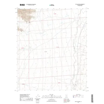
2018 Palo Alto Ranch
Pima County, AZ
2018 Palo Verde Camp
Pima County, AZ
2018 Pan Tak
Pima County, AZ
2018 Papago Farms
Pima County, AZ
2018 Penitas Hills
Pima County, AZ
2018 Pia Oik
Pima County, AZ
2018 Piety Hill
Pima County, AZ
2018 Pisinimo
Pima County, AZ
2018 Pozo Nuevo Well
Pima County, AZ
2018 Presumido Peak
Pima County, AZ
2018 Queens Well
Pima County, AZ
2018 Quitobaquito Springs
Pima County, AZ
2018 Redington
Pima County, AZ
2018 Rincon Peak
Pima County, AZ
2018 Ruelas Canyon
Pima County, AZ
2018 Sabino Canyon
Pima County, AZ
2018 Saguaro Gap Well
Pima County, AZ
2018 Samaniego Peak
Pima County, AZ
2018 San Agustin
Pima County, AZ
2018 Sand Wells
Pima County, AZ
2018 San Ignacio Ranch
Pima County, AZ
2018 San Juan Spring
Pima County, AZ
2018 San Pedro
Pima County, AZ
2018 Santa Rosa Mountains NE
Pima County, AZ
2018 Santa Rosa Mountains NW
Pima County, AZ
2018 Santa Rosa Mountains SE
Pima County, AZ
2018 Santa Rosa Mountains SW
Pima County, AZ
2018 San Xavier Mission
Pima County, AZ
2018 San Xavier Mission SW
Pima County, AZ
2018 Sasabe
Pima County, AZ
2018 Saucito Mountain
Pima County, AZ
2018 Sells East
Pima County, AZ
2018 Sells West
Pima County, AZ
2018 Sikort Chuapo
Pima County, AZ
2018 Sil Nakya
Pima County, AZ
2018 Silver Bell East
Pima County, AZ
2018 Silver Bell West
Pima County, AZ
2018 South of Bailey Peak
Pima County, AZ
2018 South of Lukeville
Pima County, AZ
2018 South of Papago Farms
Pima County, AZ
2018 Spring Water Canyon
Pima County, AZ
2018 Stevens Mountain
Pima County, AZ
2018 Tanque Verde Peak
Pima County, AZ
2018 Tecolote Ranch
Pima County, AZ
2018 Temporal Pass
Pima County, AZ
2018 The Narrows
Pima County, AZ
2018 Tillotson Peak
Pima County, AZ
2018 Tucson East
Pima County, AZ
2018 Tucson North
Pima County, AZ
2018 Tucson SE
Pima County, AZ
2018 Tucson SW
Pima County, AZ
2018 Twin Buttes
Pima County, AZ
2018 Vainom Kug
Pima County, AZ
2018 Vamori
Pima County, AZ
2018 Vaya Chin
Pima County, AZ
2018 Waterman Peak
Pima County, AZ
2018 West of Avra
Pima County, AZ

2018 West of Growler Peak
Pima County, AZ
2018 West of Lukeville
Pima County, AZ
2018 West of Marana
Pima County, AZ
2018 West of Pisinimo
Pima County, AZ
2018 West of Quitobaquito Springs
Pima County, AZ
2018 West of Ventana
Pima County, AZ
2018 West of Wahak Hotrontk
Pima County, AZ
2018 Wilbur Canyon
Pima County, AZ
2018 Window Mountain
Pima County, AZ
2021 Agua Caliente Hill
Pima County, AZ
2021 Agua Dulce Mountains
Pima County, AZ
2021 Aguirre Peak
Pima County, AZ
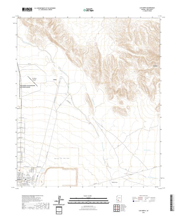
2021 Ajo North
Pima County, AZ
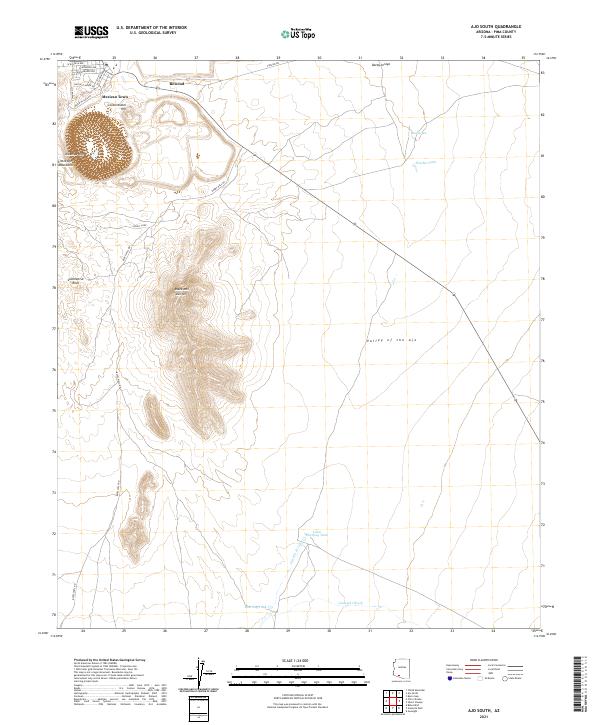
2021 Ajo South
Pima County, AZ
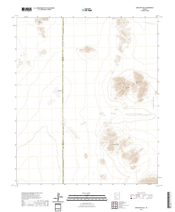
2021 Antelope Hills
Pima County, AZ
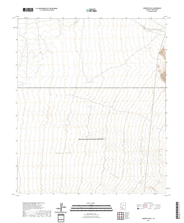
2021 Armenta Well
Pima County, AZ
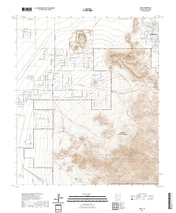
2021 Avra
Pima County, AZ
2021 Baboquivari Peak
Pima County, AZ
2021 Bailey Peak
Pima County, AZ
2021 Batamote Hills
Pima County, AZ
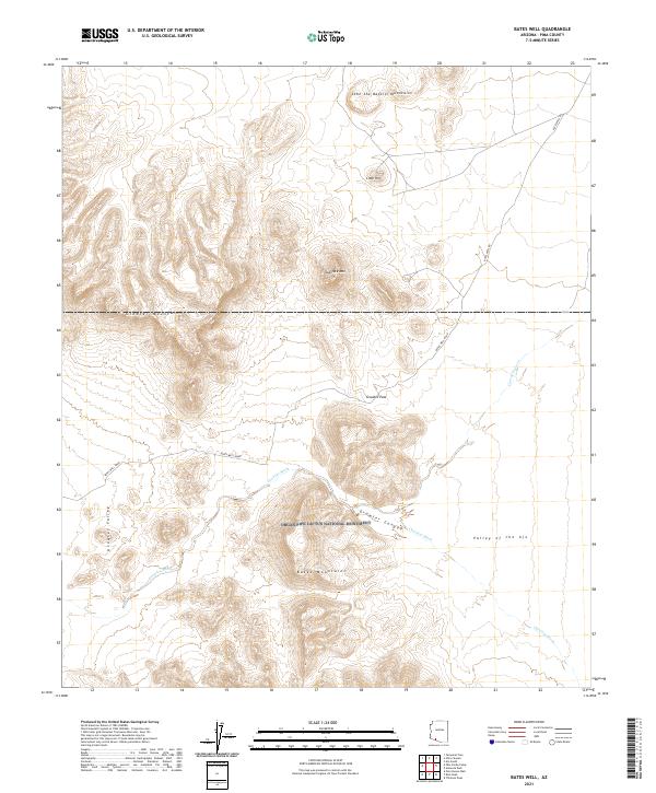
2021 Bates Well
Pima County, AZ
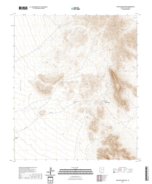
2021 Ben Nevis Mountain
Pima County, AZ
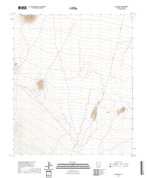
2021 Black Hills
Pima County, AZ
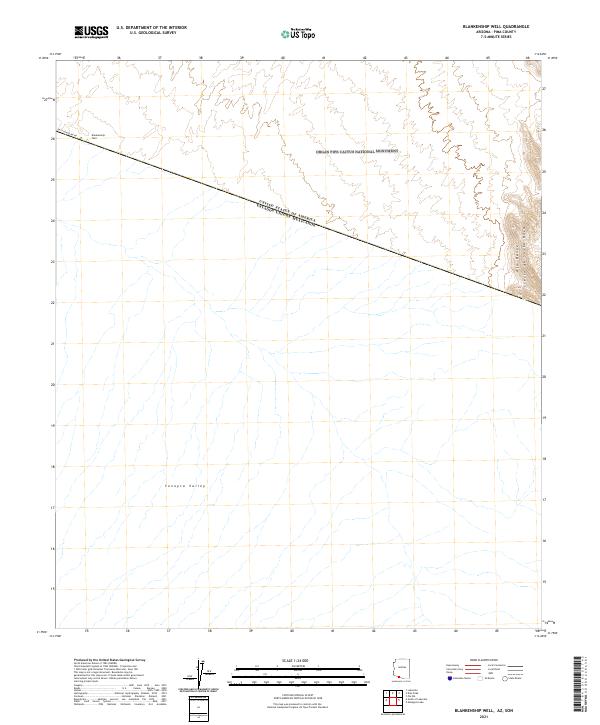
2021 Blankenship Well
Pima County, AZ
2021 Brown Mountain
Pima County, AZ
2021 Buehman Canyon
Pima County, AZ
2021 Burro Gap
Pima County, AZ
2021 Caponera Peak
Pima County, AZ
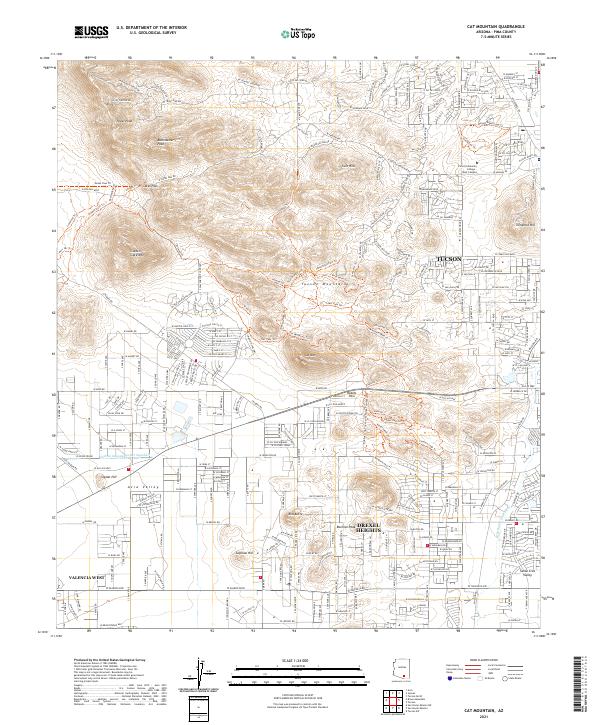
2021 Cat Mountain
Pima County, AZ
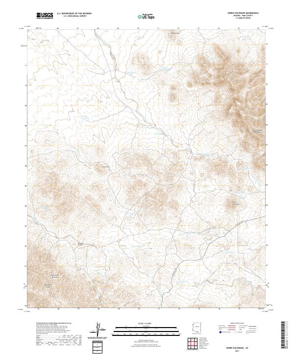
2021 Cerro Colorado
Pima County, AZ
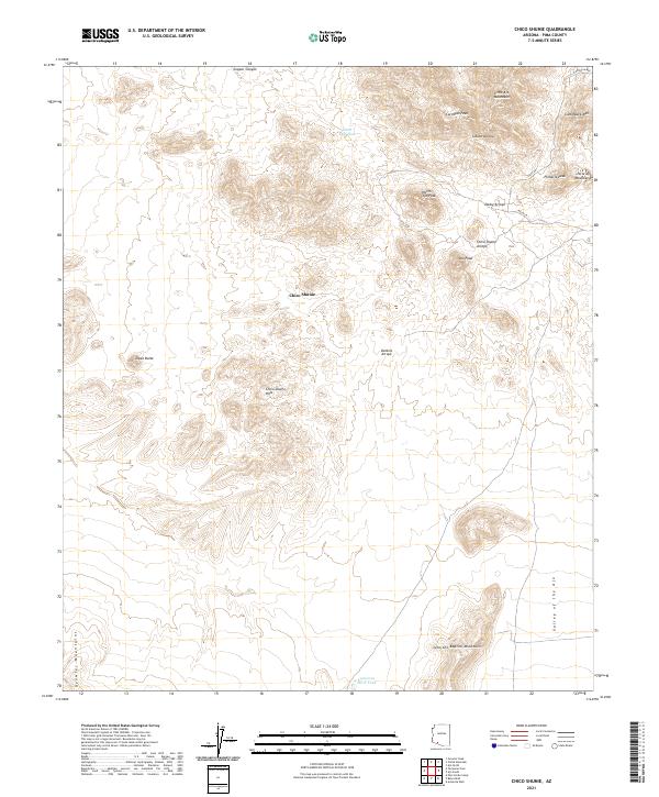
2021 Chico Shunie
Pima County, AZ
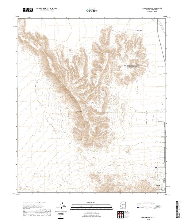
2021 Childs Mountain
Pima County, AZ
2021 Chiuli Shaik
Pima County, AZ
2021 Chukut Kuk
Pima County, AZ
2021 Chupan Mountain
Pima County, AZ
2021 Cimarron Peak
Pima County, AZ
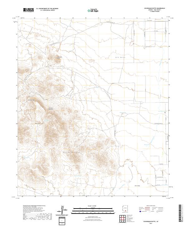
2021 Cocoraque Butte
Pima County, AZ
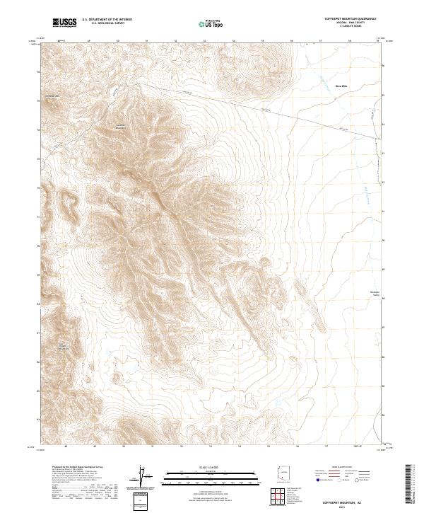
2021 Coffeepot Mountain
Pima County, AZ
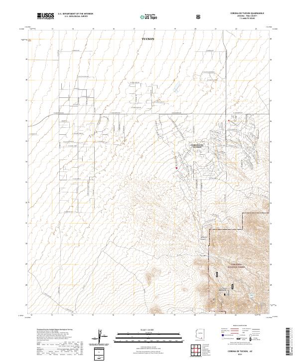
2021 Corona De Tucson
Pima County, AZ
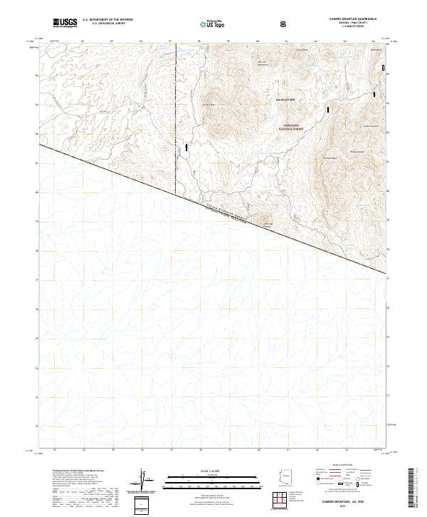
2021 Cumero Mountain
Pima County, AZ
2021 Diaz Peak
Pima County, AZ
2021 Drew Spring Well
Pima County, AZ
2021 Empire Ranch
Pima County, AZ
2021 Esperanza Mill
Pima County, AZ
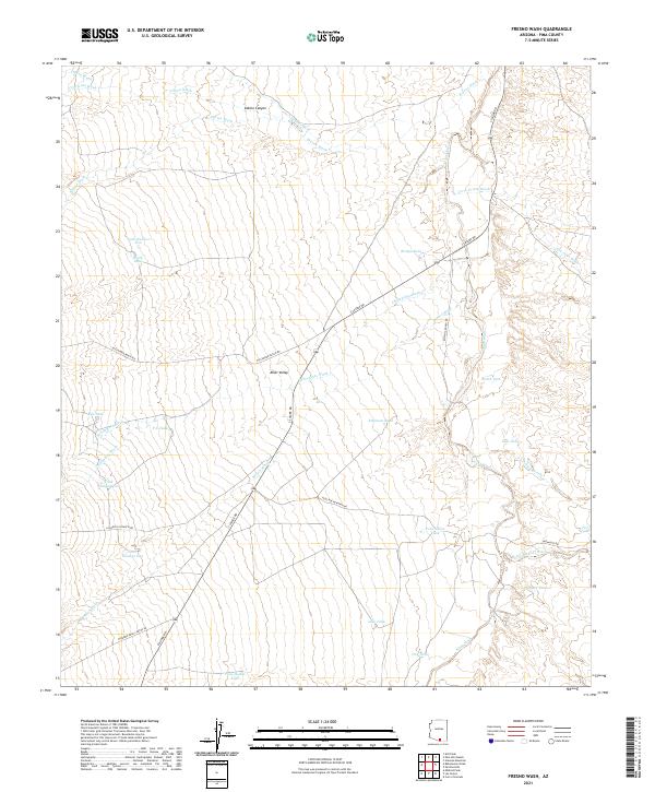
2021 Fresno Wash
Pima County, AZ
2021 Gakolik Mountains
Pima County, AZ
2021 Gap Tank
Pima County, AZ
2021 Granite Mountains North
Pima County, AZ
2021 Granite Mountains South
Pima County, AZ
2021 Growler Peak
Pima County, AZ
2021 Gunsight
Pima County, AZ
2021 Gurli Put Vo
Pima County, AZ
2021 Gu Vo
Pima County, AZ
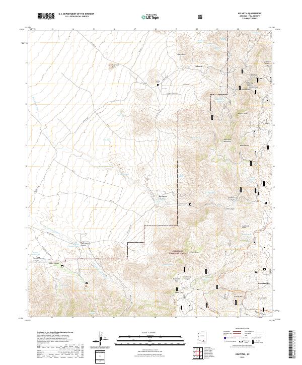
2021 Helvetia
Pima County, AZ
2021 Hickiwan
Pima County, AZ
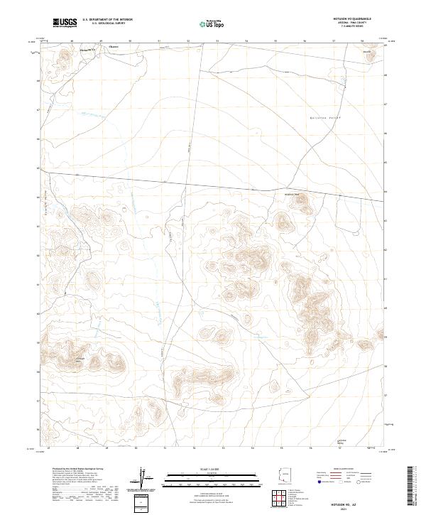
2021 Hotason Vo
Pima County, AZ
2021 Jaynes
Pima County, AZ
2021 Kino Peak
Pima County, AZ
2021 Kitt Peak
Pima County, AZ
2021 Koht Kohl Hill
Pima County, AZ
2021 Kom Vo
Pima County, AZ
2021 Kots Kug Ranch
Pima County, AZ
2021 Kupk
Pima County, AZ
2021 La Lesna Mountains
Pima County, AZ
2021 Las Guijas
Pima County, AZ
2021 La Tortuga Butte
Pima County, AZ
2021 Lukeville
Pima County, AZ
2021 Menagers Lake
Pima County, AZ
2021 Mica Mountain
Pima County, AZ
2021 Mildred Peak
Pima County, AZ
2021 Mount Ajo
Pima County, AZ
2021 Mount Bigelow
Pima County, AZ
2021 Mount Fagan
Pima County, AZ
2021 Mount Lemmon
Pima County, AZ
2021 Murphy Peak
Pima County, AZ
2021 North of Agua Dulce Mountains
Pima County, AZ
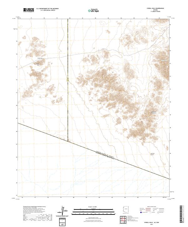
2021 O'Neill Hills
Pima County, AZ
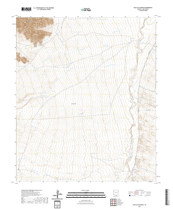
2021 Palo Alto Ranch
Pima County, AZ

2021 Palo Verde Camp
Pima County, AZ
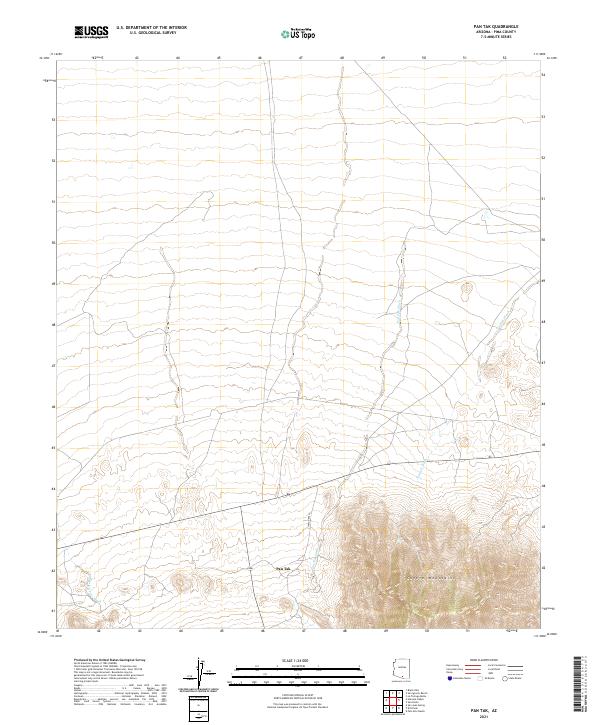
2021 Pan Tak
Pima County, AZ
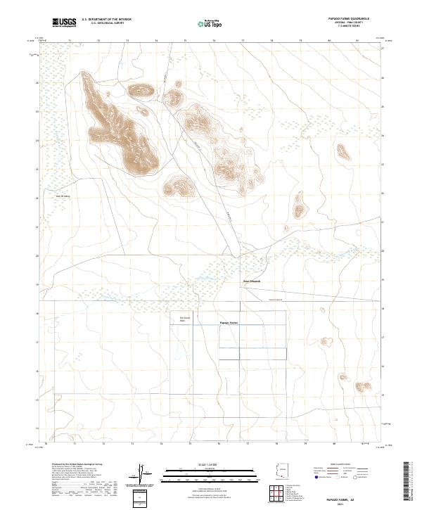
2021 Papago Farms
Pima County, AZ
2021 Penitas Hills
Pima County, AZ
2021 Pia Oik
Pima County, AZ
2021 Piety Hill
Pima County, AZ
2021 Pisinimo
Pima County, AZ
2021 Pozo Nuevo Well
Pima County, AZ
2021 Presumido Peak
Pima County, AZ
2021 Queens Well
Pima County, AZ
2021 Quitobaquito Springs
Pima County, AZ
2021 Redington
Pima County, AZ
2021 Rincon Peak
Pima County, AZ
2021 Ruelas Canyon
Pima County, AZ
2021 Sabino Canyon
Pima County, AZ
2021 Saguaro Gap Well
Pima County, AZ
2021 Samaniego Peak
Pima County, AZ
2021 San Agustin
Pima County, AZ
2021 Sand Wells
Pima County, AZ
2021 San Ignacio Ranch
Pima County, AZ
2021 San Juan Spring
Pima County, AZ
2021 San Pedro
Pima County, AZ
2021 Santa Rosa Mountains NE
Pima County, AZ
2021 Santa Rosa Mountains NW
Pima County, AZ
2021 Santa Rosa Mountains SE
Pima County, AZ
2021 Santa Rosa Mountains SW
Pima County, AZ
2021 San Xavier Mission
Pima County, AZ
2021 San Xavier Mission SW
Pima County, AZ
2021 Sasabe
Pima County, AZ
2021 Saucito Mountain
Pima County, AZ
2021 Sells East
Pima County, AZ
2021 Sells West
Pima County, AZ
2021 Sikort Chuapo
Pima County, AZ
2021 Sil Nakya
Pima County, AZ
2021 Silver Bell East
Pima County, AZ
2021 Silver Bell West
Pima County, AZ
2021 South of Bailey Peak
Pima County, AZ
2021 South of Lukeville
Pima County, AZ
2021 South of Papago Farms
Pima County, AZ
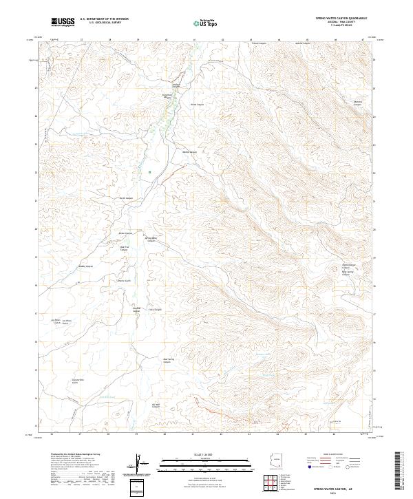
2021 Spring Water Canyon
Pima County, AZ
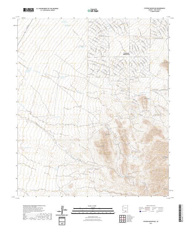
2021 Stevens Mountain
Pima County, AZ
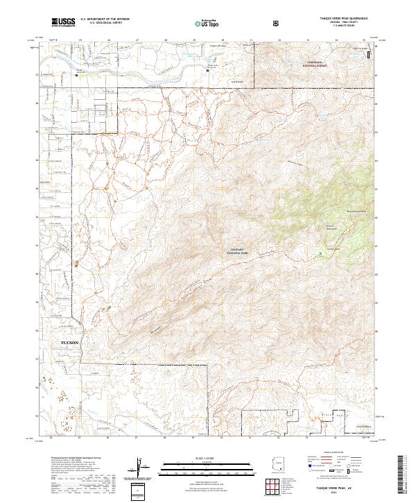
2021 Tanque Verde Peak
Pima County, AZ
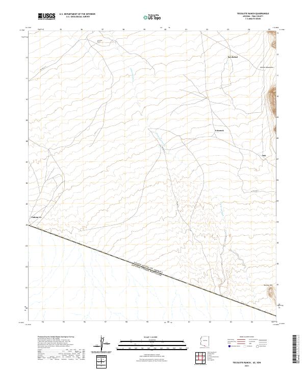
2021 Tecolote Ranch
Pima County, AZ
2021 Temporal Pass
Pima County, AZ
2021 The Narrows
Pima County, AZ
2021 Tillotson Peak
Pima County, AZ
2021 Tucson East
Pima County, AZ
2021 Tucson North
Pima County, AZ
2021 Tucson SE
Pima County, AZ
2021 Tucson SW
Pima County, AZ
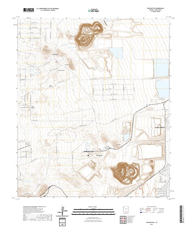
2021 Twin Buttes
Pima County, AZ
2021 Vainom Kug
Pima County, AZ
2021 Vamori
Pima County, AZ
2021 Vaya Chin
Pima County, AZ
2021 Waterman Peak
Pima County, AZ
2021 West of Avra
Pima County, AZ
2021 West of Growler Peak
Pima County, AZ
2021 West of Lukeville
Pima County, AZ

2021 West of Marana
Pima County, AZ
2021 West of Pisinimo
Pima County, AZ
2021 West of Quitobaquito Springs
Pima County, AZ
2021 West of Ventana
Pima County, AZ
2021 West of Wahak Hotrontk
Pima County, AZ
2021 Wilbur Canyon
Pima County, AZ
2021 Window Mountain
Pima County, AZ
2023 Tucson East
Pima County, AZ
2026 Ben Nevis Mountain
Pima County, AZ
2026 Burro Gap
Pima County, AZ
2026 Chico Shunie
Pima County, AZ
2026 Drew Spring Well
Pima County, AZ
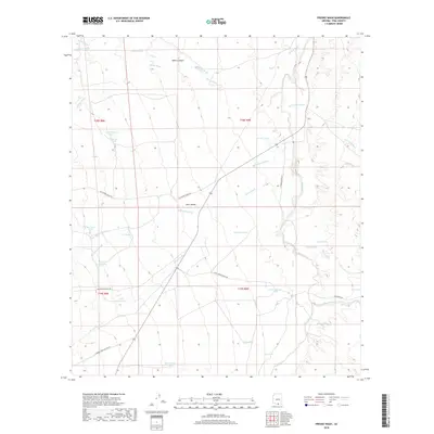
2026 Pan Tak
Pima County, AZ
2026 Redington
Pima County, AZ
2026 Rincon Peak
Pima County, AZ
2026 Sand Wells
Pima County, AZ
2026 San Ignacio Ranch
Pima County, AZ
2026 San Pedro
Pima County, AZ
2026 Sil Nakya
Pima County, AZ
2026 Tucson SW
Pima County, AZ
2026 Vaya Chin
Pima County, AZ