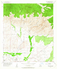
1957 Map of Sabino Canyon
USGS Topo · Published 1963About this map
The Santa Catalina Foothills north of Tucson reveal a landscape of dramatic transition in the late 1950s, where the structured developments of the Southern Arizona School For Boys and the Immaculate Heart Novitiate meet the desert's edge. This terrain is defined by a series of north-south drainage systems, most notably Sabino Canyon and Bear Canyon, which descend from the high peaks of the Coronado National Forest. In this era, water management is evident through the presence of Sabino Lake and the Tanque Verde Canal, serving the valley's expanding footprint before the intensive suburbanization of later decades.
Find a feature on this map
53 named features on this map. Tap any name to fly to it.
Don’t see what you’re looking for? This feature index may not catch every label — zoom into the map to look around manually.
Map Details
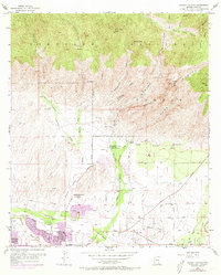
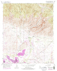
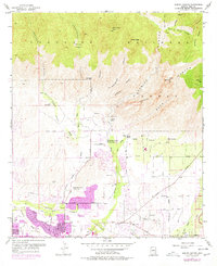
Editions of this 1957 Sabino Canyon Map
5 editions found
Other maps of this area

1904 · Tucson
USGS Topo · 1:125,000

1905 · Tucson
USGS Topo · 1:125,000

1948 · Tucson
USGS Topo · 1:62,500

1956 · Tucson
USGS Topo · 1:250,000

1957 · Tucson East
USGS Topo · 1:24,000

1957 · Bellota Ranch
USGS Topo · 1:62,500

1957 · Tucson
USGS Topo · 1:24,000

1957 · Tucson
USGS Topo · 1:62,500

1957 · Rincon Valley
USGS Topo · 1:62,500

1957 · Sabino Canyon
USGS Topo · 1:24,000