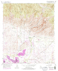
1957 Map of Sabino Canyon
USGS Topo · Published 1977About this map
The dramatic transition between the high peaks of the Coronado National Forest and the expanding northern reaches of Tucson is recorded here through surveys updated in the mid-1970s. Dramatic landmarks like Thimble Peak and Rattlesnake Peak tower over the deep drainages of Sabino Canyon and Bear Canyon, where water sources such as Sabino Lake and Barrel Spr provide vital relief in the arid landscape.
Find a feature on this map
48 named features on this map. Tap any name to fly to it.
Don’t see what you’re looking for? This feature index may not catch every label — zoom into the map to look around manually.
Map Details
Editions of this 1957 Sabino Canyon Map
5 editions found
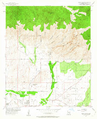
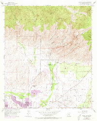
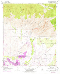
Other maps of this area

1904 · Tucson
USGS Topo · 1:125,000

1905 · Tucson
USGS Topo · 1:125,000

1948 · Tucson
USGS Topo · 1:62,500

1956 · Tucson
USGS Topo · 1:250,000

1957 · Tucson East
USGS Topo · 1:24,000

1957 · Bellota Ranch
USGS Topo · 1:62,500

1957 · Tucson
USGS Topo · 1:24,000

1957 · Tucson
USGS Topo · 1:62,500

1957 · Rincon Valley
USGS Topo · 1:62,500

1957 · Sabino Canyon
USGS Topo · 1:24,000