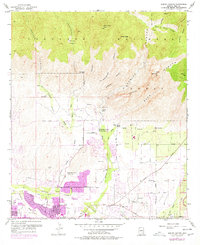
1957 Map of Sabino Canyon
USGS Topo · Published 1977About this map
Coronado National Forest dominates the northern half of this landscape, where steep canyons like Ventana Canyon, Rattlesnake Canyon, and Sabino Canyon descend from high peaks. The 1970s revisions, marked in purple, show the expanding residential sprawl reaching northward toward the foothills. Distinct institutions are established along the desert floor, including the Southern Arizona School For Boys near Sabino Creek and the Immaculate Heart Novitiate further south. The drainage patterns of the Tanque Verde Creek and Pantano Wash define the southern hydrology, while smaller landmarks like the Stone House and Sabino Lake indicate early 20th-century water management and habitation. This survey illustrates the transition from open desert and rugged national forest to a suburbanized valley floor, with development following major arteries like the Catalina Highway and Tanque Verde Road.
Find a feature on this map
46 named features on this map. Tap any name to fly to it.
Don’t see what you’re looking for? This feature index may not catch every label — zoom into the map to look around manually.
Map Details
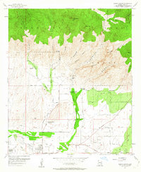
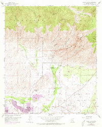
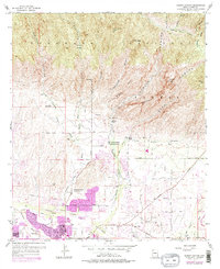
Editions of this 1957 Sabino Canyon Map
5 editions found
Other maps of this area

1904 · Tucson
USGS Topo · 1:125,000

1905 · Tucson
USGS Topo · 1:125,000

1948 · Tucson
USGS Topo · 1:62,500

1956 · Tucson
USGS Topo · 1:250,000

1957 · Tucson East
USGS Topo · 1:24,000

1957 · Bellota Ranch
USGS Topo · 1:62,500

1957 · Tucson
USGS Topo · 1:24,000

1957 · Tucson
USGS Topo · 1:62,500

1957 · Rincon Valley
USGS Topo · 1:62,500

1957 · Sabino Canyon
USGS Topo · 1:24,000