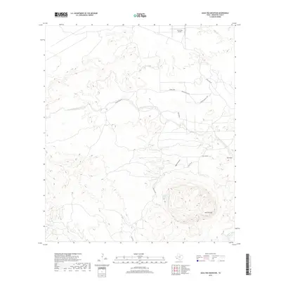
2019 Map of Agua Fria Mountain
USGS Topo · Published 2019About this map
Aqua Fria Mtn dominates the southern reaches of this Brewster County landscape, its volcanic contours rising sharply above the Chihuahuan Desert floor. Life in this arid environment centers on rare water sources like Aqua Fria Springs and the seasonal drainage of Alamo de Cesario Creek. The terrain is defined by distinct geologic formations, from the elevated plateau of Taurus Mesa in the north to the low expanse of Fizzle Flat. Human presence is marked by a network of ranch roads such as Rancho Manana Rd and Tony Hess Rd, which connect isolated homesteads and the Taurus Mesa Airport to the broader region. This 2019 survey documents a sparsely populated but geographically dramatic area where local history is tied to ranching and the preservation of natural springs in a harsh, high-altitude climate.
Find a feature on this map
17 named features on this map. Tap any name to fly to it.
Don’t see what you’re looking for? This feature index may not catch every label — zoom into the map to look around manually.
Map Details
Editions of this 2019 Agua Fria Mountain Map
This is the sole edition of this map. No revisions or reprints were ever made.
Other maps of this area

1903 · Terlingua
USGS Topo · 1:125,000

1904 · Terlingua
USGS Topo · 1:125,000

1917 · Agua Fria
USGS Topo · 1:62,500

1917 · Tascotal Mesa
USGS Topo · 1:62,500

1931 · Lajitas
USGS Topo · 1:62,500

1937 · Agua Fria
USGS Topo · 1:62,500

1944 · Tascotal Mesa
USGS Topo · 1:62,500

1959 · Emory Peak
USGS Topo · 1:250,000

1965 · Emory Peak
USGS Topo · 1:250,000

1971 · Yellow Hill
USGS Topo · 1:24,000