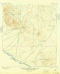
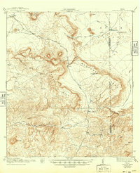
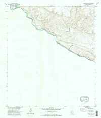
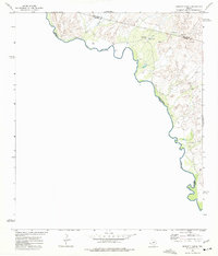
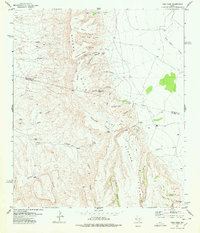
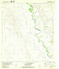
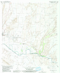
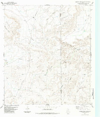
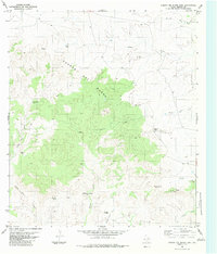
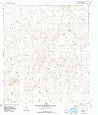
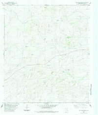
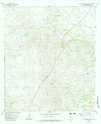
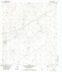
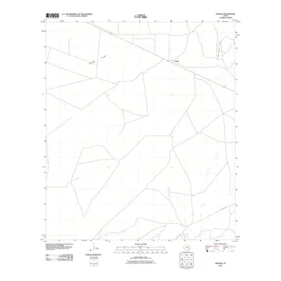
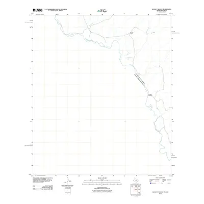
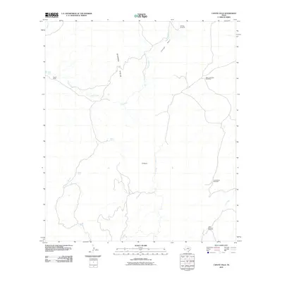
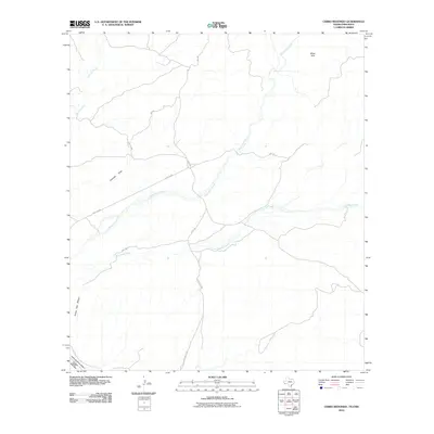
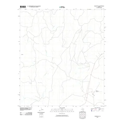
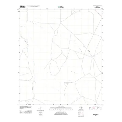
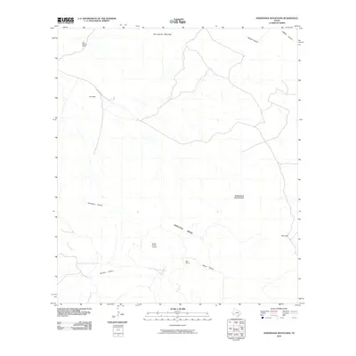
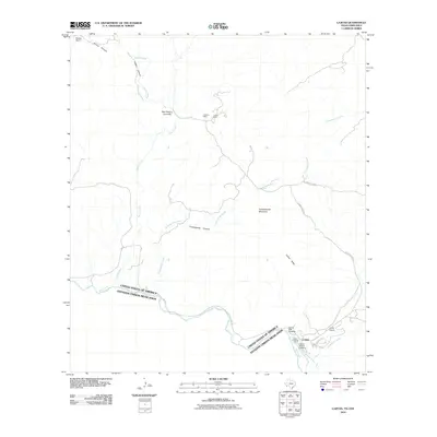
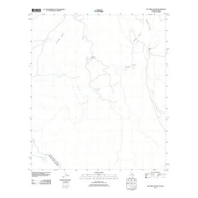
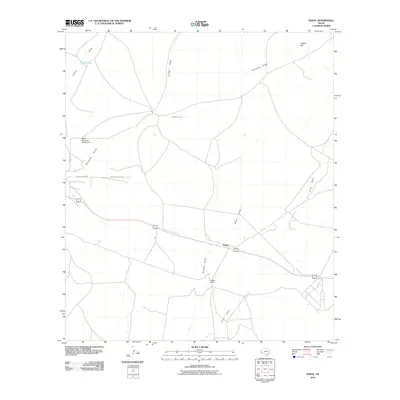
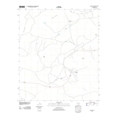
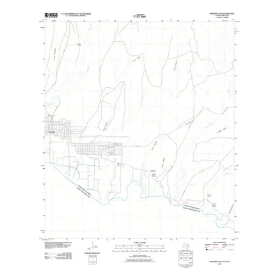
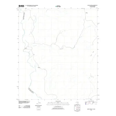
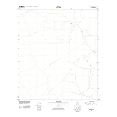
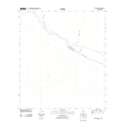
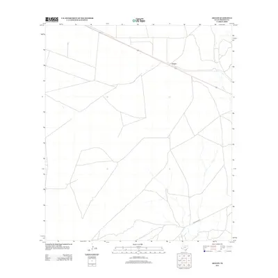
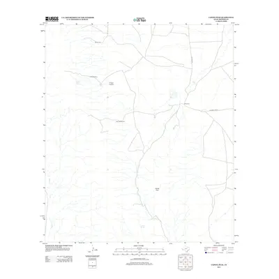
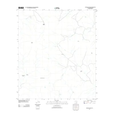
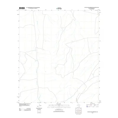
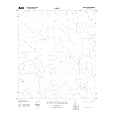
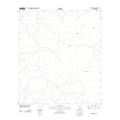
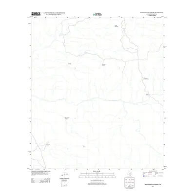
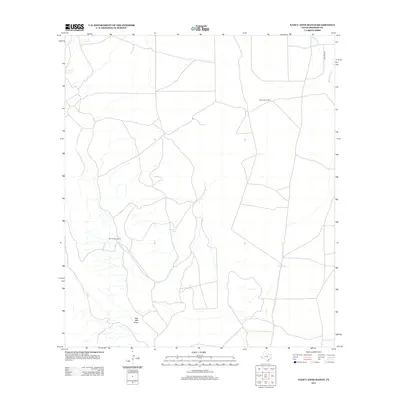
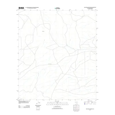
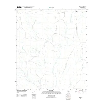
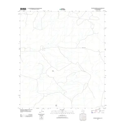
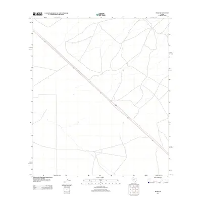
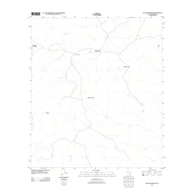
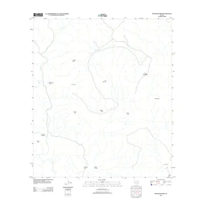
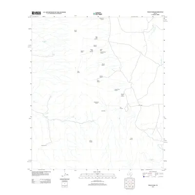
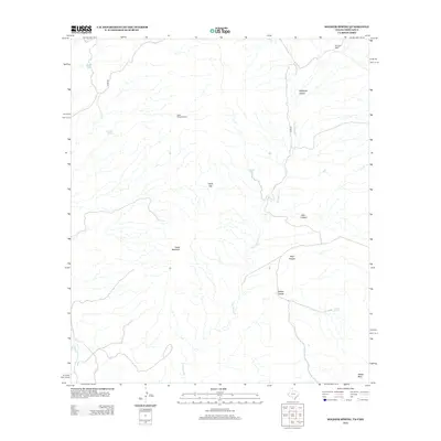
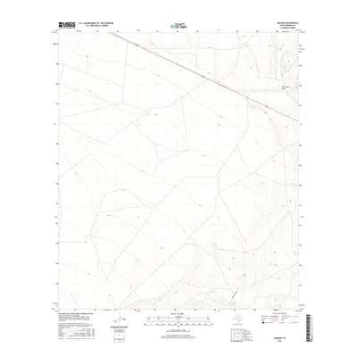
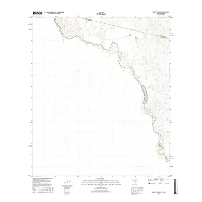
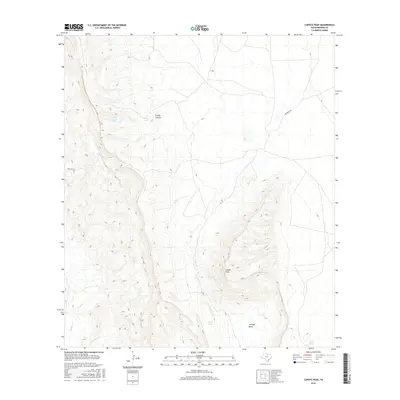
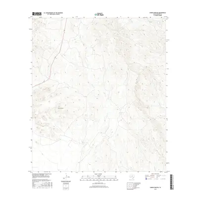
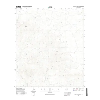
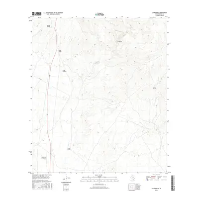
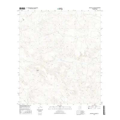
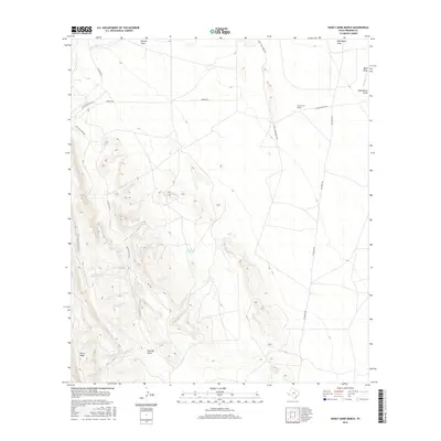
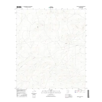
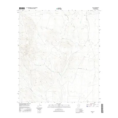
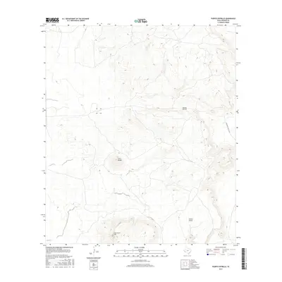
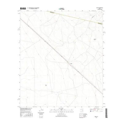
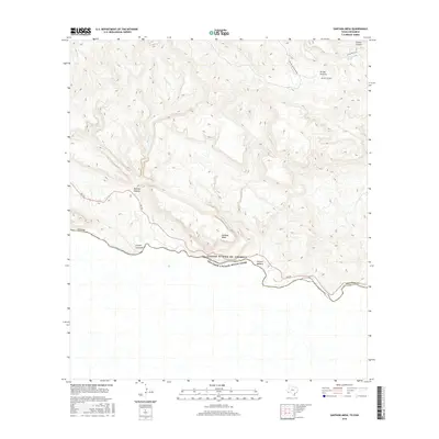
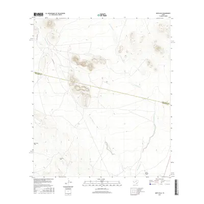
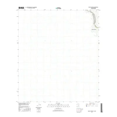
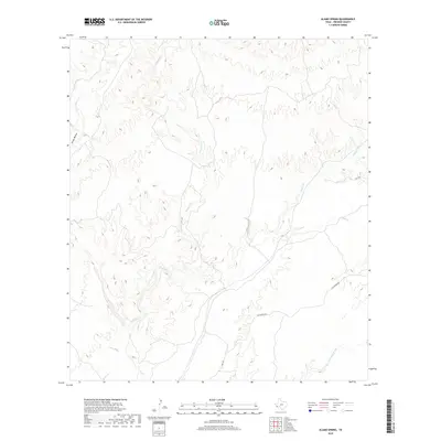
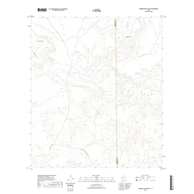
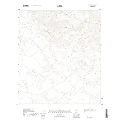
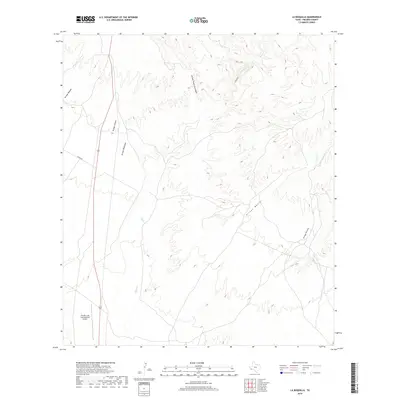
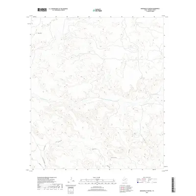
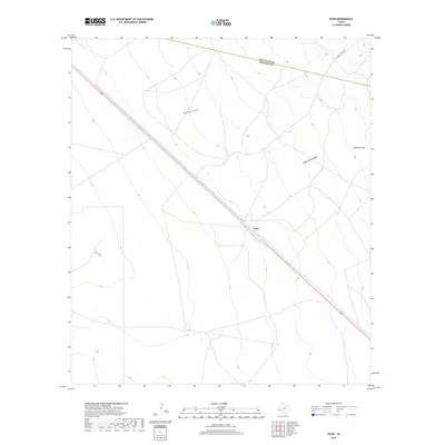
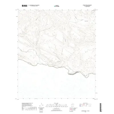
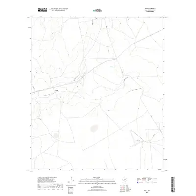
1931 Map of Lajitas
USGS Topo · Published 1931About this map
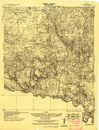
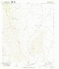
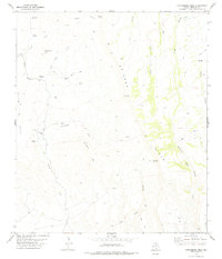
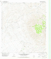
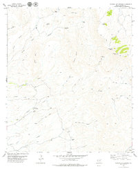
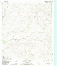
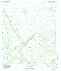
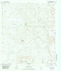
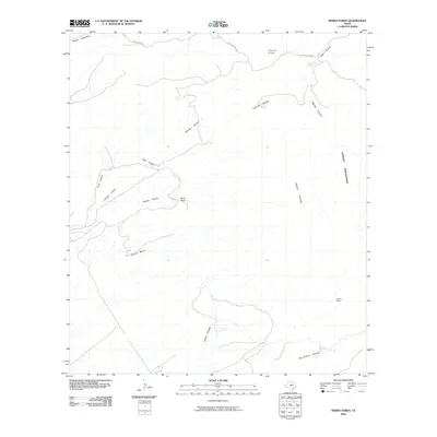
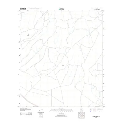
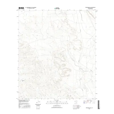
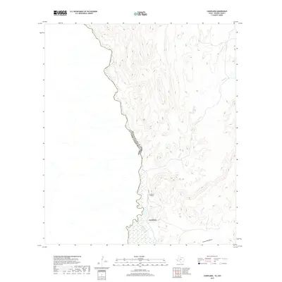
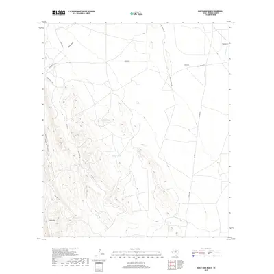
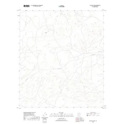
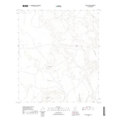
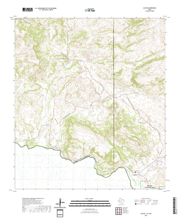
Lajitas sits on the northern bank of the Rio Grande in this 1931 tactical survey, marking a significant border crossing between the United States and Mexico. The landscape is dominated by the circular geological formation of El Solitario, a dramatic structural dome featuring Solitario Peak and Fresno Peak. This era of Big Bend history is characterized by isolated outposts and livestock operations, evidenced by the presence of Crawford Ranch, Madrid Ranch, and Rafael Ranch. The map captures a transition in desert habitation, noting Howards Ranch (vacant) while detailing essential water sources like Contrabando Waterhole and Mc Guirk Tanks. High-altitude trails such as the Telephone Trail provide a look at early communication and transit corridors through the challenging terrain north of Canyon Colorado.
Find a feature on this map
37 named features on this map. Tap any name to fly to it.
Don’t see what you’re looking for? This feature index may not catch every label — zoom into the map to look around manually.
Map Details
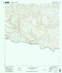
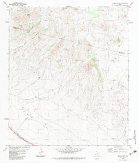
Editions of this 1931 Lajitas Map
This is the sole edition of this map. No revisions or reprints were ever made.
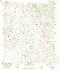
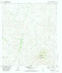
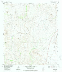
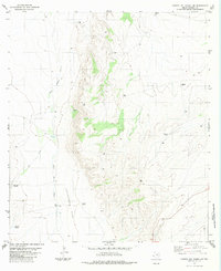
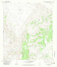
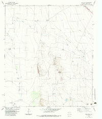
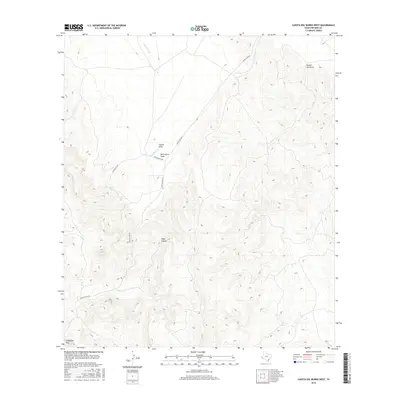
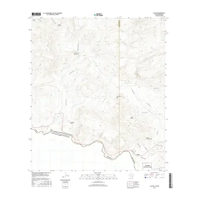
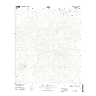
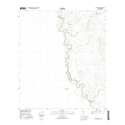
Historical Maps of Lajitas Through Time
419 maps found
1896 Polvo
Presidio County, TX
1896 Ruidosa
Presidio County, TX
1896 San Carlos
Presidio County, TX
1896 Shafter
Presidio County, TX
1917 Tascotal Mesa
Presidio County, TX
1918 Jordan Gap
Presidio County, TX
1930 Jordan Gap
Presidio County, TX
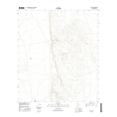
1931 Lajitas
Presidio County, TX
1944 Tascotal Mesa
Presidio County, TX
1966 Adobes
Presidio County, TX
1971 Agua Adentro Mountain
Presidio County, TX
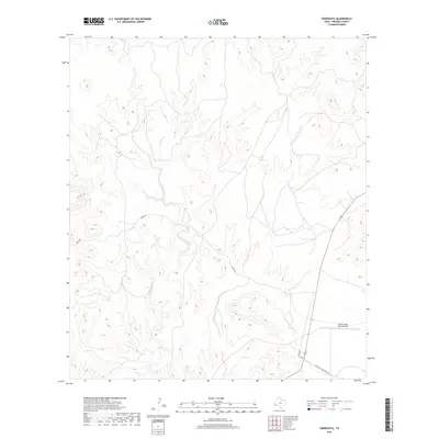
1971 Lajitas
Presidio County, TX
1971 Redford SE
Presidio County, TX
1971 Santana Mesa
Presidio County, TX
1971 Sauceda Ranch
Presidio County, TX
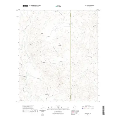
1971 The Solitario
Presidio County, TX
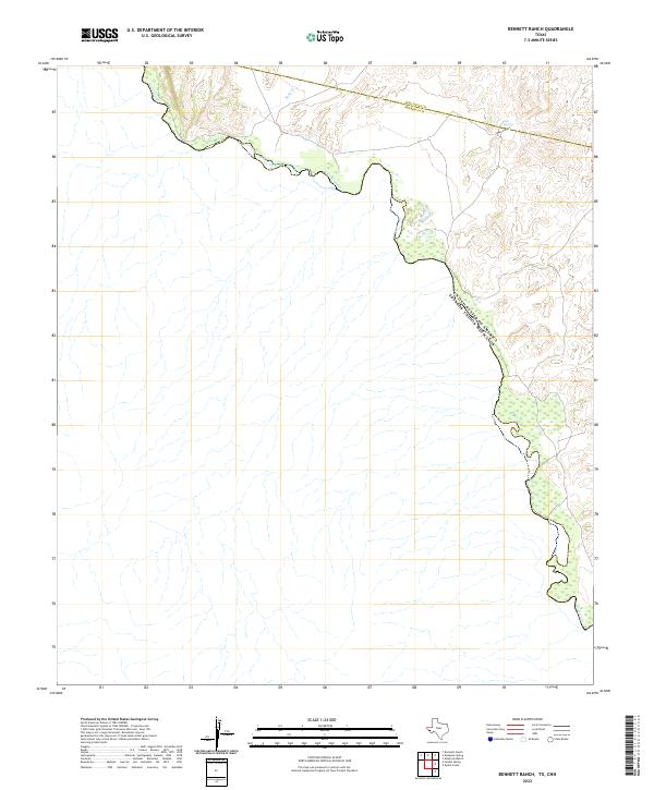
1972 Bennett Ranch
Presidio County, TX
1972 Nopal
Presidio County, TX
1972 Paisano
Presidio County, TX
1972 Soldier Spring
Presidio County, TX
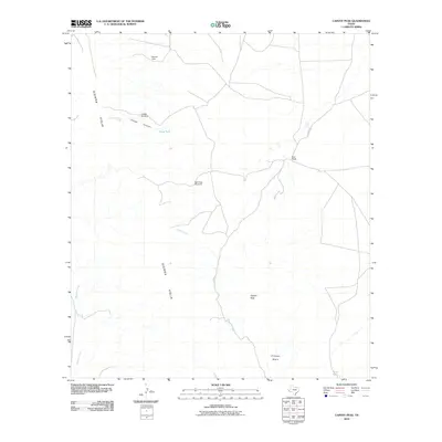
1978 Capote Peak
Presidio County, TX
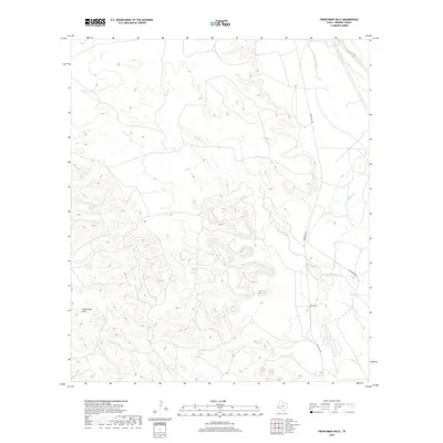
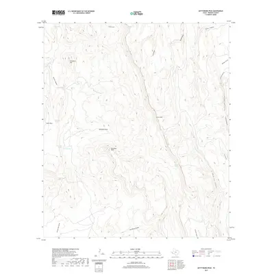
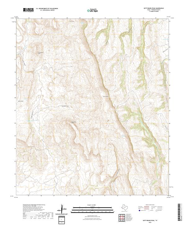
1978 Gettysburg Peak
Presidio County, TX
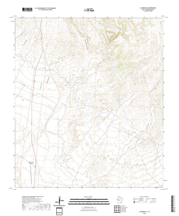
1978 La Boquilla
Presidio County, TX
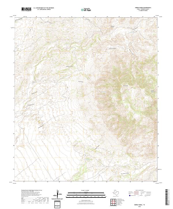
1978 Sierra Parda
Presidio County, TX
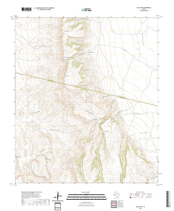
1978 Vieja Pass
Presidio County, TX
1979 Candelaria
Presidio County, TX
1979 Capote Falls
Presidio County, TX
1979 Chinati Peak
Presidio County, TX
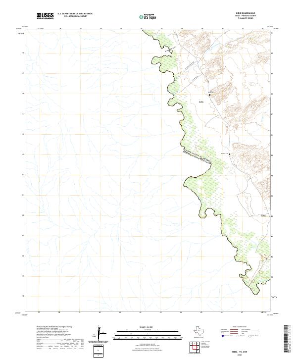
1979 Indio
Presidio County, TX
1979 McComb Canyon
Presidio County, TX
1979 McCutchen Ranch
Presidio County, TX
1979 Nancy Anne Ranch
Presidio County, TX
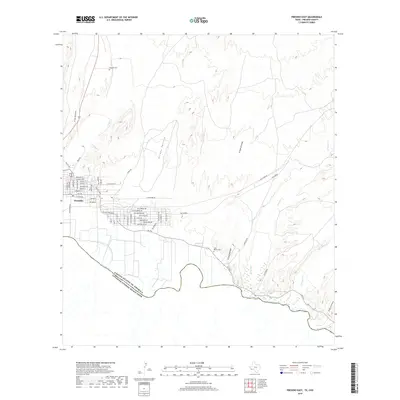
1979 Presidio East
Presidio County, TX
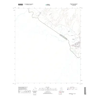
1979 Presidio West
Presidio County, TX
1979 Pueblo Nuevo
Presidio County, TX
1979 Quinn Creek
Presidio County, TX
1979 Ruidosa Hot Springs
Presidio County, TX
1980 Arroyo Melado
Presidio County, TX
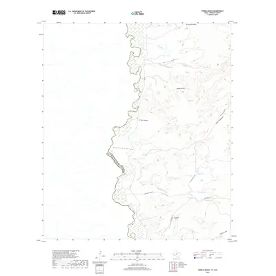
1980 Las Conchas
Presidio County, TX

1983 Aragon
Presidio County, TX
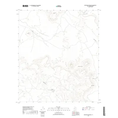
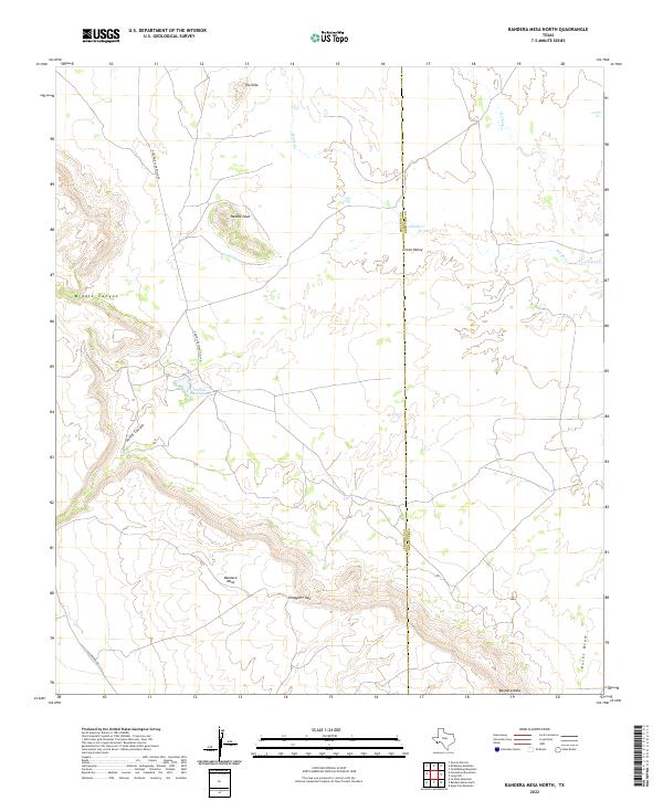
1983 Bandera Mesa North
Presidio County, TX
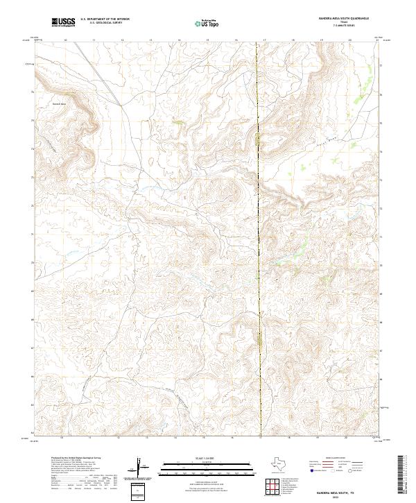
1983 Bandera Mesa South
Presidio County, TX
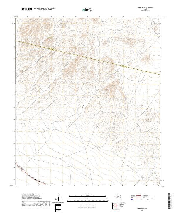
1983 Burro Draw
Presidio County, TX
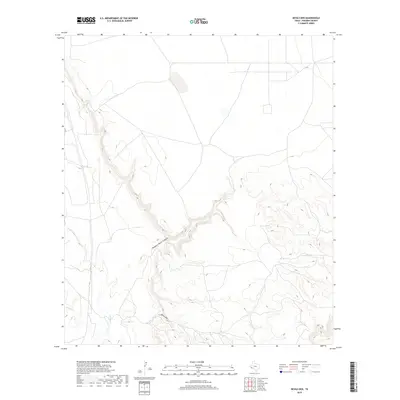
1983 Cactus Flat
Presidio County, TX
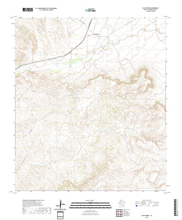
1983 Casa Piedra
Presidio County, TX
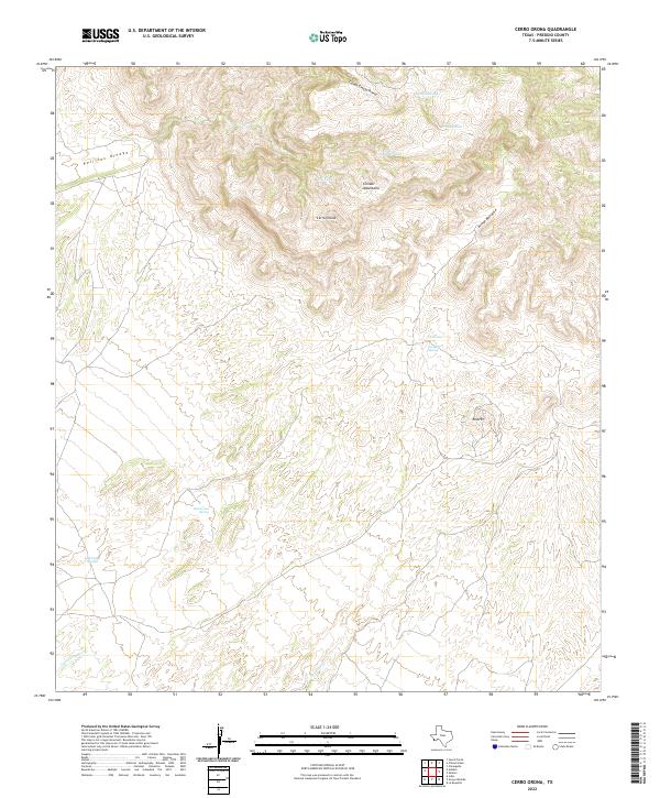
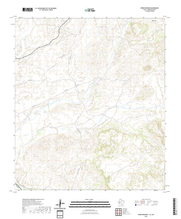
1983 Cerro Redondo
Presidio County, TX
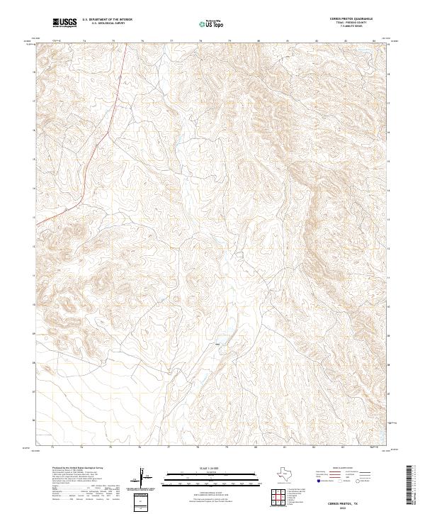
1983 Cerros Prietos
Presidio County, TX
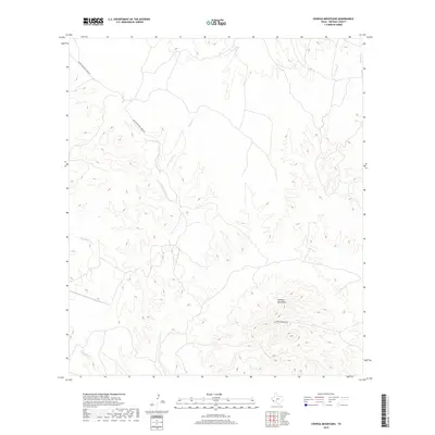
1983 Cienega Mountains
Presidio County, TX
1983 Cieneguita
Presidio County, TX
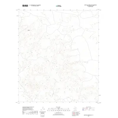
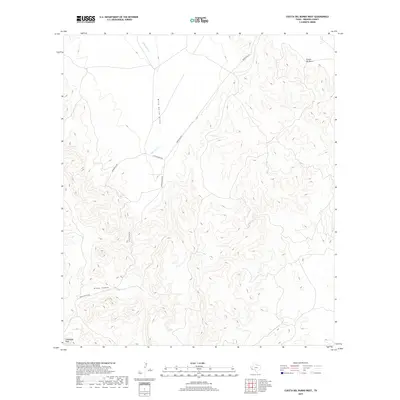
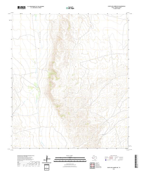
1983 Cuesta Del Burro East
Presidio County, TX
1983 Cuesta Del Burro NW
Presidio County, TX
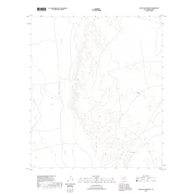
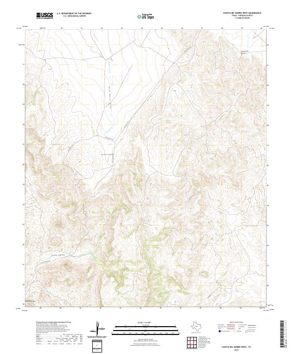
1983 Cuesta Del Burro West
Presidio County, TX
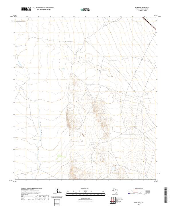
1983 Deer Peak
Presidio County, TX
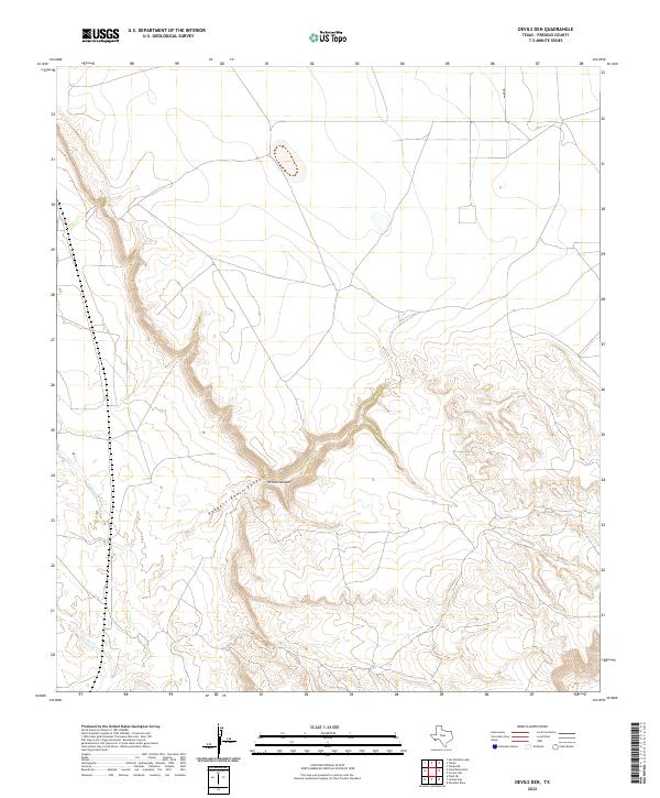
1983 Devils Den
Presidio County, TX
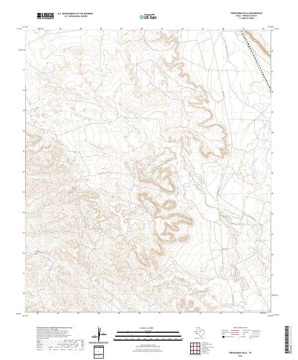
1983 Frenchman Hills
Presidio County, TX
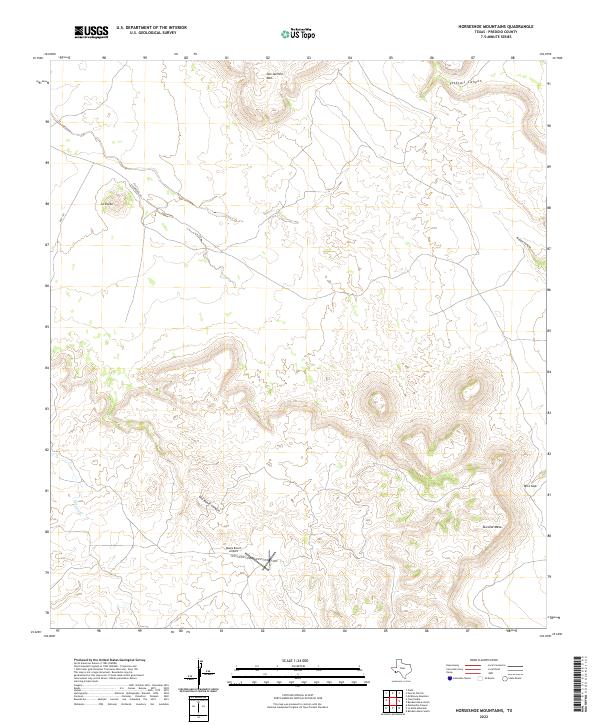
1983 Horseshoe Mountains
Presidio County, TX
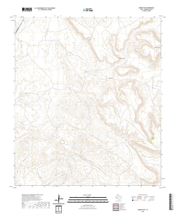
1983 Jordan Gap
Presidio County, TX
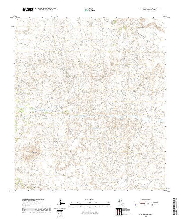
1983 La Mota Mountain
Presidio County, TX
1983 McKinney Mountain
Presidio County, TX
1983 Oak Creek
Presidio County, TX
1983 Oak Hills North
Presidio County, TX
1983 Oak Hills South
Presidio County, TX
1983 Paradise Draw
Presidio County, TX
1983 Plata NE
Presidio County, TX
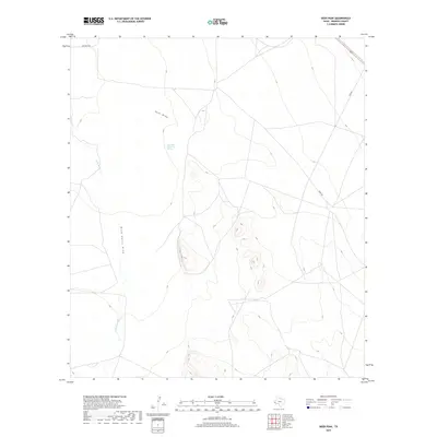
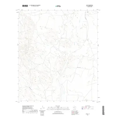
1983 Plata
Presidio County, TX
1983 Puerto Potrillo
Presidio County, TX
1983 Ryan
Presidio County, TX
1983 Ryan SW
Presidio County, TX
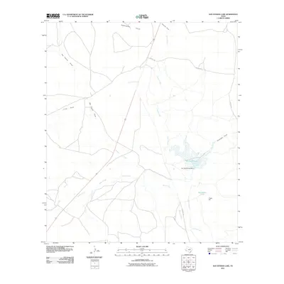
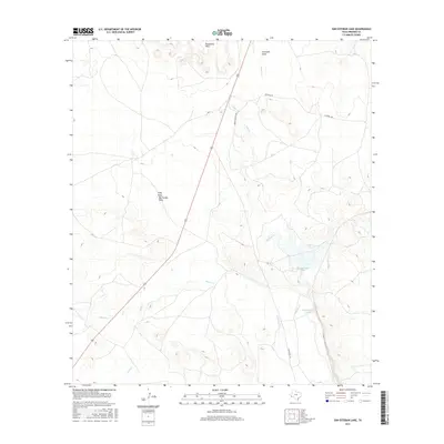
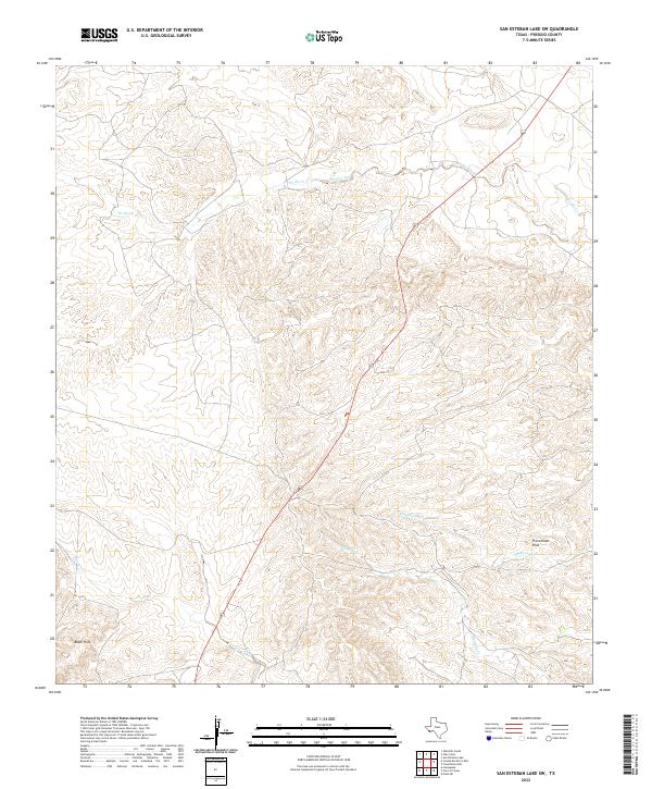
1983 San Esteban Lake
Presidio County, TX
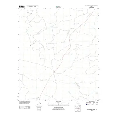
1983 San Esteban Lake SW
Presidio County, TX
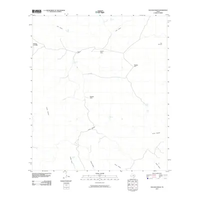
1983 Shafter
Presidio County, TX
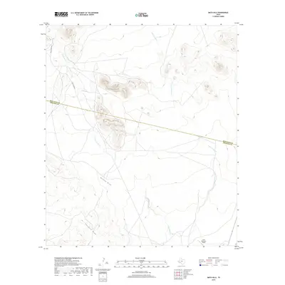
1983 Smith Hills
Presidio County, TX
1983 Tinaja NE
Presidio County, TX
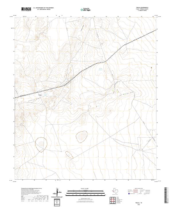
1983 Tinaja
Presidio County, TX
2010 Adobes
Presidio County, TX
2010 Agua Adentro Mountain
Presidio County, TX
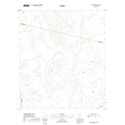
2010 Alamo Spring
Presidio County, TX
2010 Aragon
Presidio County, TX
2010 Arroyo Melado
Presidio County, TX
2010 Bandera Mesa North
Presidio County, TX
2010 Bandera Mesa South
Presidio County, TX
2010 Bennett Ranch
Presidio County, TX
2010 Burro Draw
Presidio County, TX
2010 Cactus Flat
Presidio County, TX
2010 Candelaria
Presidio County, TX
2010 Capote Falls
Presidio County, TX
2010 Capote Peak
Presidio County, TX
2010 Casa Piedra
Presidio County, TX
2010 Cerro Orona
Presidio County, TX
2010 Cerro Redondo
Presidio County, TX
2010 Cerros Prietos
Presidio County, TX
2010 Chinati Peak
Presidio County, TX
2010 Cienega Mountains
Presidio County, TX
2010 Cieneguita
Presidio County, TX
2010 Cuesta Del Burro East
Presidio County, TX
2010 Cuesta Del Burro NW
Presidio County, TX
2010 Cuesta Del Burro West
Presidio County, TX
2010 Deer Peak
Presidio County, TX
2010 Devils Den
Presidio County, TX
2010 Frenchman Hills
Presidio County, TX
2010 Gettysburg Peak
Presidio County, TX
2010 Horseshoe Mountains
Presidio County, TX
2010 Indio
Presidio County, TX
2010 Jordan Gap
Presidio County, TX
2010 La Boquilla
Presidio County, TX
2010 Lajitas
Presidio County, TX
2010 La Mota Mountain
Presidio County, TX
2010 Las Conchas
Presidio County, TX
2010 Manzanillo Canyon
Presidio County, TX
2010 McComb Canyon
Presidio County, TX
2010 McCutchen Ranch
Presidio County, TX
2010 McKinney Mountain
Presidio County, TX
2010 Nancy Anne Ranch
Presidio County, TX
2010 Nopal
Presidio County, TX
2010 Oak Creek
Presidio County, TX
2010 Oak Hills North
Presidio County, TX
2010 Oak Hills South
Presidio County, TX
2010 Paisano
Presidio County, TX
2010 Paradise Draw
Presidio County, TX
2010 Plata NE
Presidio County, TX
2010 Plata
Presidio County, TX
2010 Presidio East
Presidio County, TX
2010 Presidio West
Presidio County, TX
2010 Pueblo Nuevo
Presidio County, TX
2010 Puerto Potrillo
Presidio County, TX
2010 Quinn Creek
Presidio County, TX
2010 Ruidosa Hot Springs
Presidio County, TX
2010 Ryan
Presidio County, TX
2010 Ryan SW
Presidio County, TX
2010 San Esteban Lake
Presidio County, TX
2010 San Esteban Lake SW
Presidio County, TX
2010 Sauceda Ranch
Presidio County, TX
2010 Shafter
Presidio County, TX
2010 Sierra Parda
Presidio County, TX
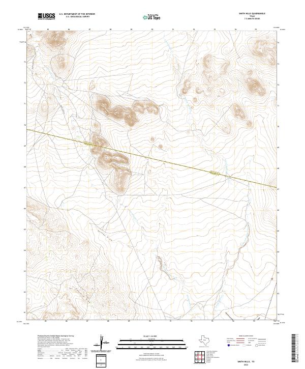
2010 Smith Hills
Presidio County, TX
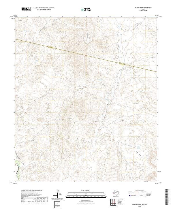
2010 Soldier Spring
Presidio County, TX
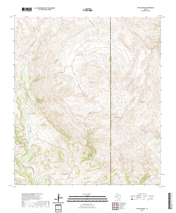
2010 The Solitario
Presidio County, TX
2010 Tinaja NE
Presidio County, TX
2010 Tinaja
Presidio County, TX
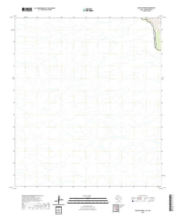
2010 Vado De Piedra
Presidio County, TX
2010 Vieja Pass
Presidio County, TX
2011 Redford SE
Presidio County, TX
2011 Santana Mesa
Presidio County, TX
2012 Adobes
Presidio County, TX
2012 Alamo Spring
Presidio County, TX
2012 Aragon
Presidio County, TX
2012 Arroyo Melado
Presidio County, TX
2012 Bandera Mesa North
Presidio County, TX

2012 Bandera Mesa South
Presidio County, TX
2012 Bennett Ranch
Presidio County, TX
2012 Burro Draw
Presidio County, TX
2012 Cactus Flat
Presidio County, TX
2012 Candelaria
Presidio County, TX
2012 Capote Falls
Presidio County, TX
2012 Capote Peak
Presidio County, TX
2012 Casa Piedra
Presidio County, TX
2012 Cerro Orona
Presidio County, TX
2012 Cerros Prietos
Presidio County, TX
2012 Chinati Peak
Presidio County, TX
2012 Cienega Mountains
Presidio County, TX
2012 Cieneguita
Presidio County, TX
2012 Cuesta Del Burro East
Presidio County, TX
2012 Cuesta Del Burro NW
Presidio County, TX
2012 Cuesta Del Burro West
Presidio County, TX
2012 Deer Peak
Presidio County, TX
2012 Devils Den
Presidio County, TX
2012 Frenchman Hills
Presidio County, TX
2012 Gettysburg Peak
Presidio County, TX
2012 Horseshoe Mountains
Presidio County, TX
2012 Indio
Presidio County, TX
2012 Jordan Gap
Presidio County, TX
2012 La Boquilla
Presidio County, TX
2012 La Mota Mountain
Presidio County, TX
2012 Las Conchas
Presidio County, TX
2012 Manzanillo Canyon
Presidio County, TX
2012 McComb Canyon
Presidio County, TX
2012 McCutchen Ranch
Presidio County, TX
2012 McKinney Mountain
Presidio County, TX
2012 Nancy Anne Ranch
Presidio County, TX
2012 Nopal
Presidio County, TX
2012 Oak Creek
Presidio County, TX
2012 Oak Hills North
Presidio County, TX
2012 Oak Hills South
Presidio County, TX
2012 Paisano
Presidio County, TX
2012 Paradise Draw
Presidio County, TX
2012 Plata NE
Presidio County, TX
2012 Plata
Presidio County, TX
2012 Presidio East
Presidio County, TX
2012 Presidio West
Presidio County, TX
2012 Pueblo Nuevo
Presidio County, TX
2012 Puerto Potrillo
Presidio County, TX
2012 Quinn Creek
Presidio County, TX
2012 Redford SE
Presidio County, TX
2012 Ruidosa Hot Springs
Presidio County, TX
2012 Ryan
Presidio County, TX

2012 Ryan SW
Presidio County, TX
2012 San Esteban Lake
Presidio County, TX
2012 San Esteban Lake SW
Presidio County, TX
2012 Santana Mesa
Presidio County, TX
2012 Sauceda Ranch
Presidio County, TX
2012 Shafter
Presidio County, TX
2012 Sierra Parda
Presidio County, TX
2012 Smith Hills
Presidio County, TX
2012 The Solitario
Presidio County, TX
2012 Tinaja NE
Presidio County, TX
2012 Tinaja
Presidio County, TX
2012 Vado De Piedra
Presidio County, TX
2012 Vieja Pass
Presidio County, TX
2013 Agua Adentro Mountain
Presidio County, TX
2013 Cerro Redondo
Presidio County, TX
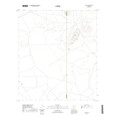
2013 Lajitas
Presidio County, TX
2013 Soldier Spring
Presidio County, TX
2016 Adobes
Presidio County, TX
2016 Agua Adentro Mountain
Presidio County, TX
2016 Alamo Spring
Presidio County, TX
2016 Aragon
Presidio County, TX
2016 Arroyo Melado
Presidio County, TX
2016 Bandera Mesa North
Presidio County, TX
2016 Bandera Mesa South
Presidio County, TX
2016 Bennett Ranch
Presidio County, TX
2016 Burro Draw
Presidio County, TX
2016 Cactus Flat
Presidio County, TX

2016 Candelaria
Presidio County, TX
2016 Capote Falls
Presidio County, TX
2016 Capote Peak
Presidio County, TX
2016 Casa Piedra
Presidio County, TX
2016 Cerro Orona
Presidio County, TX
2016 Cerro Redondo
Presidio County, TX
2016 Cerros Prietos
Presidio County, TX
2016 Chinati Peak
Presidio County, TX
2016 Cienega Mountains
Presidio County, TX
2016 Cieneguita
Presidio County, TX
2016 Cuesta Del Burro East
Presidio County, TX

2016 Cuesta Del Burro NW
Presidio County, TX
2016 Cuesta Del Burro West
Presidio County, TX
2016 Deer Peak
Presidio County, TX
2016 Devils Den
Presidio County, TX
2016 Frenchman Hills
Presidio County, TX
2016 Gettysburg Peak
Presidio County, TX

2016 Horseshoe Mountains
Presidio County, TX
2016 Indio
Presidio County, TX
2016 Jordan Gap
Presidio County, TX
2016 La Boquilla
Presidio County, TX
2016 Lajitas
Presidio County, TX
2016 La Mota Mountain
Presidio County, TX
2016 Las Conchas
Presidio County, TX
2016 Manzanillo Canyon
Presidio County, TX
2016 McComb Canyon
Presidio County, TX
2016 McCutchen Ranch
Presidio County, TX
2016 McKinney Mountain
Presidio County, TX
2016 Nancy Anne Ranch
Presidio County, TX
2016 Nopal
Presidio County, TX
2016 Oak Creek
Presidio County, TX
2016 Oak Hills North
Presidio County, TX
2016 Oak Hills South
Presidio County, TX
2016 Paisano
Presidio County, TX
2016 Paradise Draw
Presidio County, TX
2016 Plata NE
Presidio County, TX
2016 Plata
Presidio County, TX
2016 Presidio East
Presidio County, TX
2016 Presidio West
Presidio County, TX
2016 Pueblo Nuevo
Presidio County, TX
2016 Puerto Potrillo
Presidio County, TX
2016 Quinn Creek
Presidio County, TX
2016 Redford SE
Presidio County, TX
2016 Ruidosa Hot Springs
Presidio County, TX
2016 Ryan
Presidio County, TX
2016 Ryan SW
Presidio County, TX
2016 San Esteban Lake
Presidio County, TX
2016 San Esteban Lake SW
Presidio County, TX
2016 Santana Mesa
Presidio County, TX
2016 Sauceda Ranch
Presidio County, TX
2016 Shafter
Presidio County, TX
2016 Sierra Parda
Presidio County, TX
2016 Smith Hills
Presidio County, TX

2016 Soldier Spring
Presidio County, TX
2016 The Solitario
Presidio County, TX
2016 Tinaja NE
Presidio County, TX
2016 Tinaja
Presidio County, TX
2016 Vado De Piedra
Presidio County, TX
2016 Vieja Pass
Presidio County, TX
2019 Adobes
Presidio County, TX
2019 Agua Adentro Mountain
Presidio County, TX
2019 Alamo Spring
Presidio County, TX
2019 Aragon
Presidio County, TX
2019 Arroyo Melado
Presidio County, TX
2019 Bandera Mesa North
Presidio County, TX
2019 Bandera Mesa South
Presidio County, TX
2019 Bennett Ranch
Presidio County, TX
2019 Burro Draw
Presidio County, TX
2019 Cactus Flat
Presidio County, TX
2019 Candelaria
Presidio County, TX
2019 Capote Falls
Presidio County, TX
2019 Capote Peak
Presidio County, TX
2019 Casa Piedra
Presidio County, TX
2019 Cerro Orona
Presidio County, TX
2019 Cerro Redondo
Presidio County, TX
2019 Cerros Prietos
Presidio County, TX
2019 Chinati Peak
Presidio County, TX
2019 Cienega Mountains
Presidio County, TX
2019 Cieneguita
Presidio County, TX
2019 Cuesta Del Burro East
Presidio County, TX
2019 Cuesta Del Burro NW
Presidio County, TX
2019 Cuesta Del Burro West
Presidio County, TX
2019 Deer Peak
Presidio County, TX
2019 Devils Den
Presidio County, TX
2019 Frenchman Hills
Presidio County, TX
2019 Gettysburg Peak
Presidio County, TX
2019 Horseshoe Mountains
Presidio County, TX
2019 Indio
Presidio County, TX
2019 Jordan Gap
Presidio County, TX
2019 La Boquilla
Presidio County, TX
2019 Lajitas
Presidio County, TX
2019 La Mota Mountain
Presidio County, TX
2019 Las Conchas
Presidio County, TX
2019 Manzanillo Canyon
Presidio County, TX
2019 McComb Canyon
Presidio County, TX
2019 McCutchen Ranch
Presidio County, TX
2019 McKinney Mountain
Presidio County, TX
2019 Nancy Anne Ranch
Presidio County, TX
2019 Nopal
Presidio County, TX
2019 Oak Creek
Presidio County, TX
2019 Oak Hills North
Presidio County, TX
2019 Oak Hills South
Presidio County, TX
2019 Paisano
Presidio County, TX
2019 Paradise Draw
Presidio County, TX
2019 Plata NE
Presidio County, TX
2019 Plata
Presidio County, TX
2019 Presidio East
Presidio County, TX
2019 Presidio West
Presidio County, TX
2019 Pueblo Nuevo
Presidio County, TX
2019 Puerto Potrillo
Presidio County, TX
2019 Quinn Creek
Presidio County, TX
2019 Redford SE
Presidio County, TX
2019 Ruidosa Hot Springs
Presidio County, TX
2019 Ryan
Presidio County, TX
2019 Ryan SW
Presidio County, TX
2019 San Esteban Lake
Presidio County, TX
2019 San Esteban Lake SW
Presidio County, TX
2019 Santana Mesa
Presidio County, TX
2019 Sauceda Ranch
Presidio County, TX
2019 Shafter
Presidio County, TX
2019 Sierra Parda
Presidio County, TX
2019 Smith Hills
Presidio County, TX
2019 Soldier Spring
Presidio County, TX
2019 The Solitario
Presidio County, TX
2019 Tinaja NE
Presidio County, TX
2019 Tinaja
Presidio County, TX
2019 Vado De Piedra
Presidio County, TX
2019 Vieja Pass
Presidio County, TX
2022 Adobes
Presidio County, TX
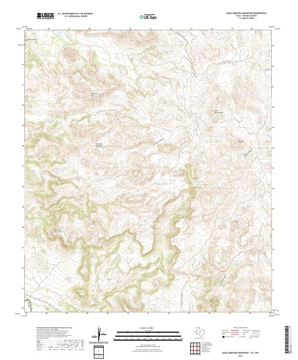
2022 Agua Adentro Mountain
Presidio County, TX
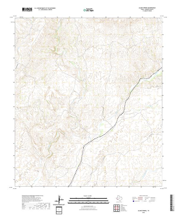
2022 Alamo Spring
Presidio County, TX
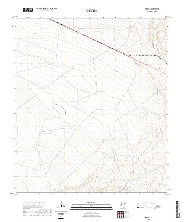
2022 Aragon
Presidio County, TX
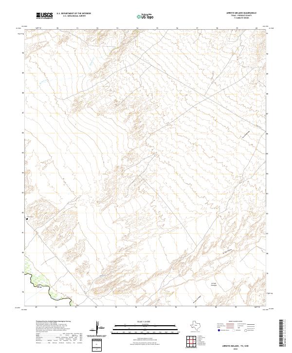
2022 Arroyo Melado
Presidio County, TX
2022 Bandera Mesa North
Presidio County, TX
2022 Bandera Mesa South
Presidio County, TX
2022 Bennett Ranch
Presidio County, TX
2022 Burro Draw
Presidio County, TX
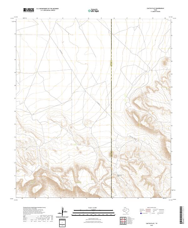
2022 Cactus Flat
Presidio County, TX
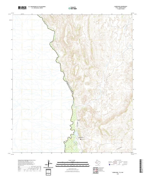
2022 Candelaria
Presidio County, TX
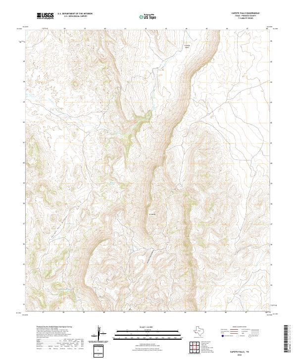
2022 Capote Falls
Presidio County, TX
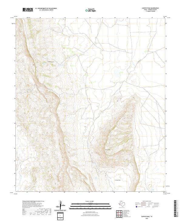
2022 Capote Peak
Presidio County, TX
2022 Casa Piedra
Presidio County, TX
2022 Cerro Orona
Presidio County, TX
2022 Cerro Redondo
Presidio County, TX
2022 Cerros Prietos
Presidio County, TX
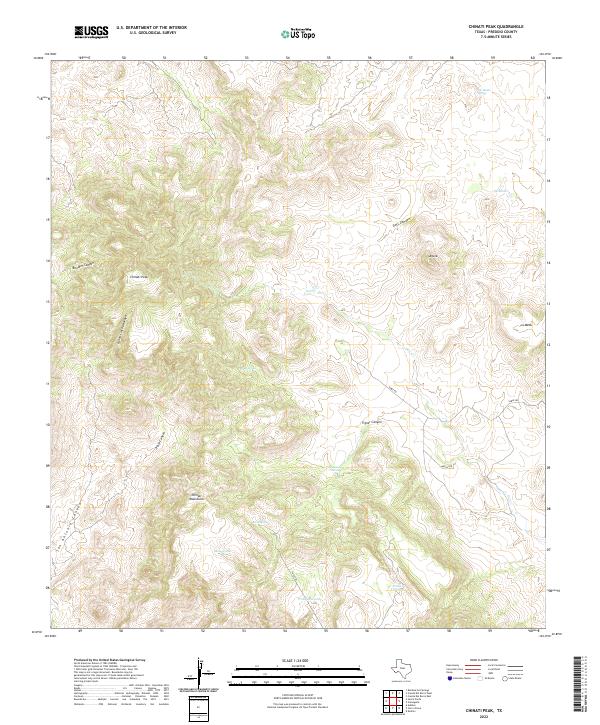
2022 Chinati Peak
Presidio County, TX
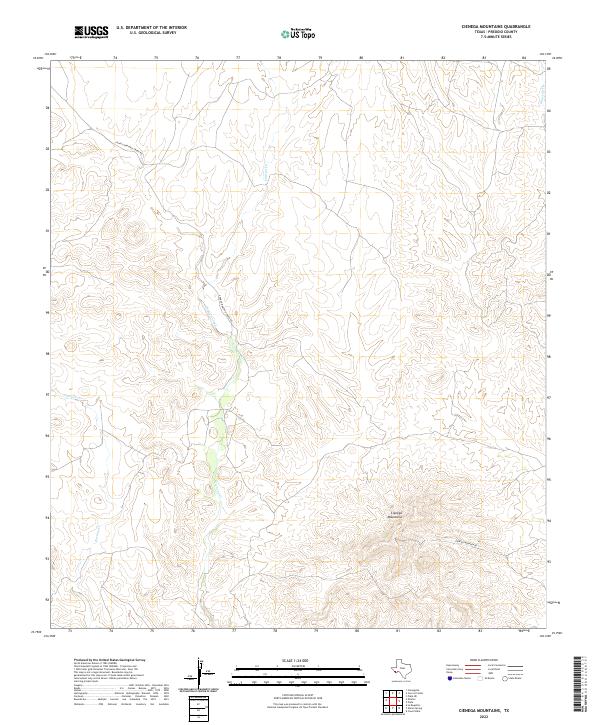
2022 Cienega Mountains
Presidio County, TX
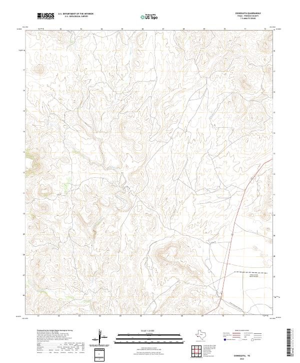
2022 Cieneguita
Presidio County, TX
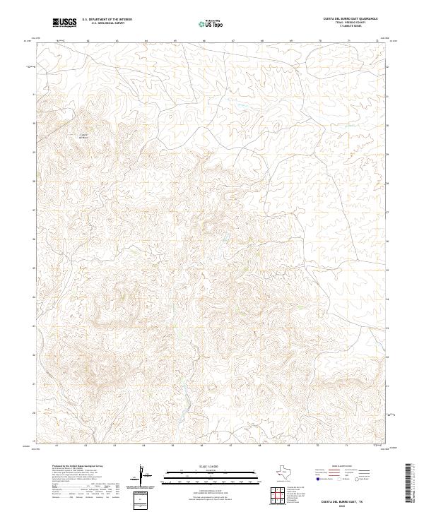
2022 Cuesta Del Burro East
Presidio County, TX
2022 Cuesta Del Burro NW
Presidio County, TX
2022 Cuesta Del Burro West
Presidio County, TX
2022 Deer Peak
Presidio County, TX
2022 Devils Den
Presidio County, TX
2022 Frenchman Hills
Presidio County, TX
2022 Gettysburg Peak
Presidio County, TX
2022 Horseshoe Mountains
Presidio County, TX
2022 Indio
Presidio County, TX
2022 Jordan Gap
Presidio County, TX
2022 La Boquilla
Presidio County, TX
2022 Lajitas
Presidio County, TX
2022 La Mota Mountain
Presidio County, TX
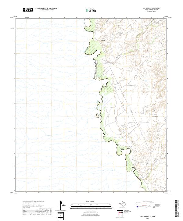
2022 Las Conchas
Presidio County, TX
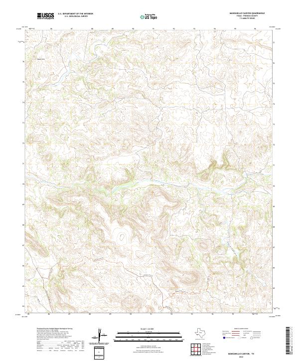
2022 Manzanillo Canyon
Presidio County, TX
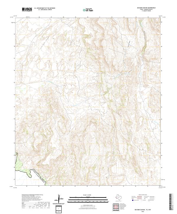
2022 McComb Canyon
Presidio County, TX
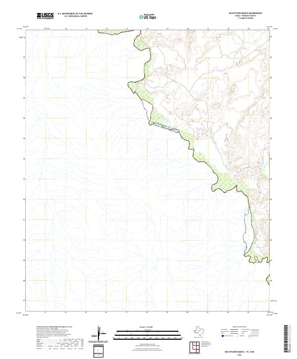
2022 McCutchen Ranch
Presidio County, TX
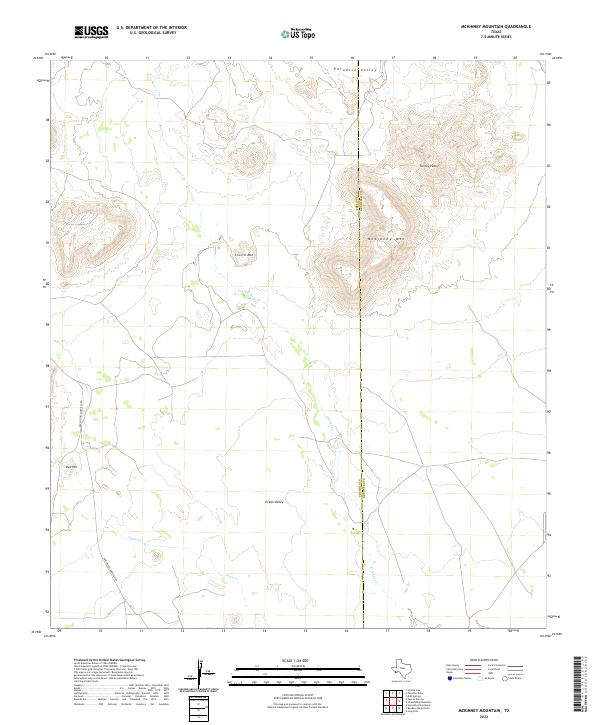
2022 McKinney Mountain
Presidio County, TX
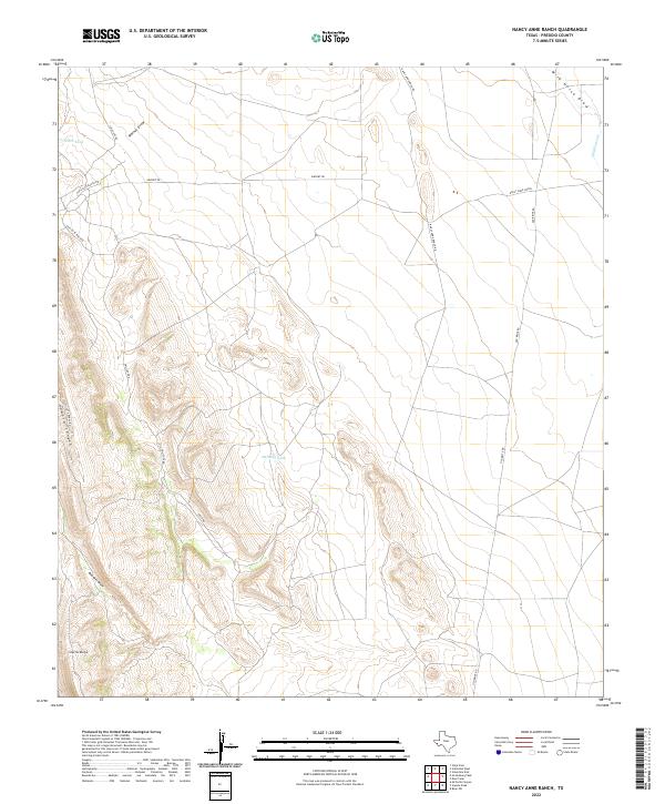
2022 Nancy Anne Ranch
Presidio County, TX
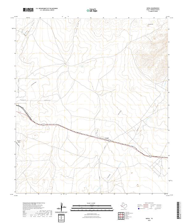
2022 Nopal
Presidio County, TX
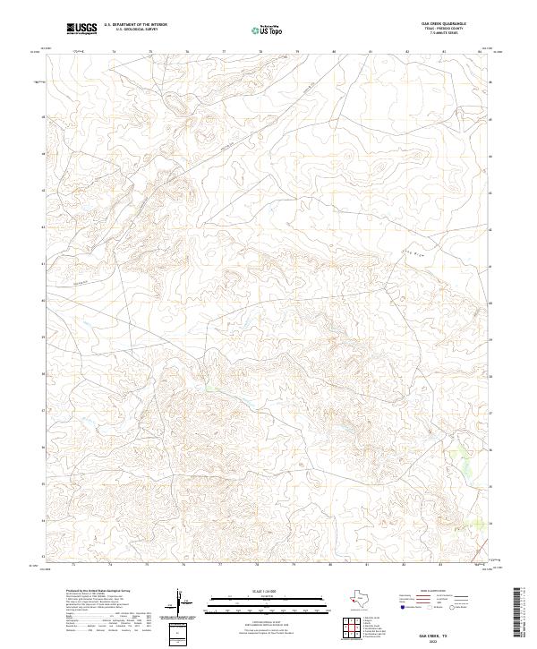
2022 Oak Creek
Presidio County, TX
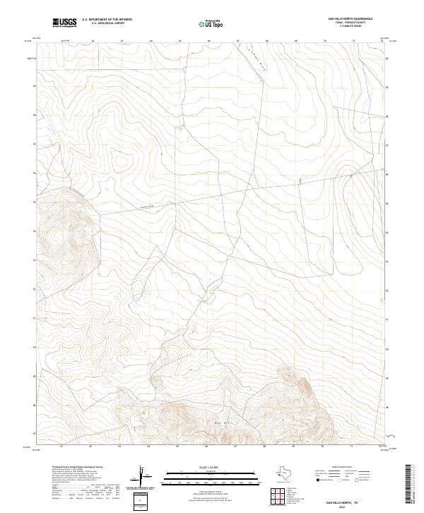
2022 Oak Hills North
Presidio County, TX
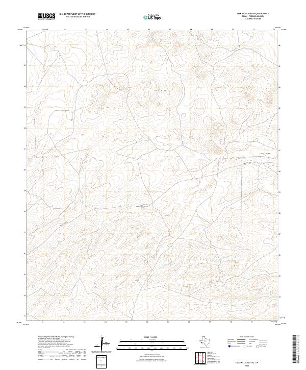
2022 Oak Hills South
Presidio County, TX
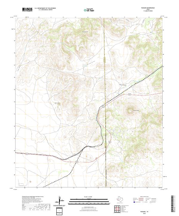
2022 Paisano
Presidio County, TX
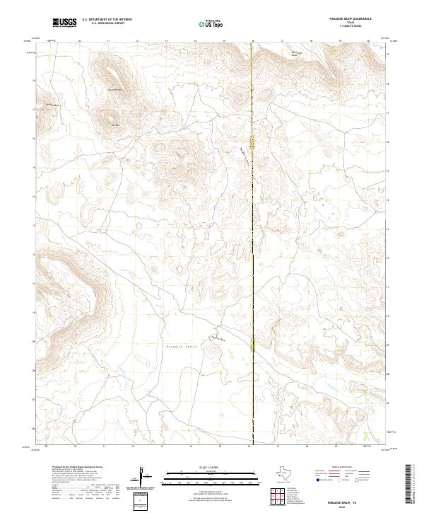
2022 Paradise Draw
Presidio County, TX
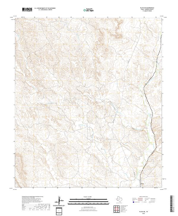
2022 Plata NE
Presidio County, TX
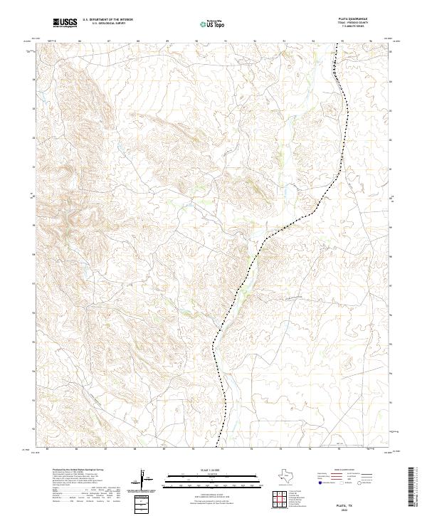
2022 Plata
Presidio County, TX
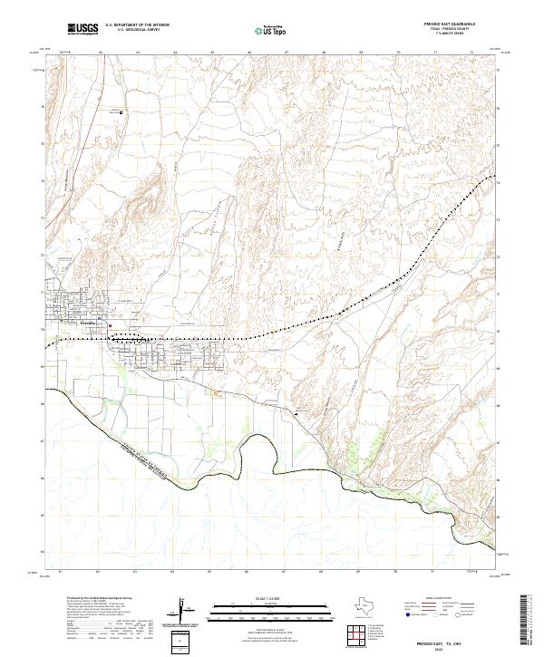
2022 Presidio East
Presidio County, TX
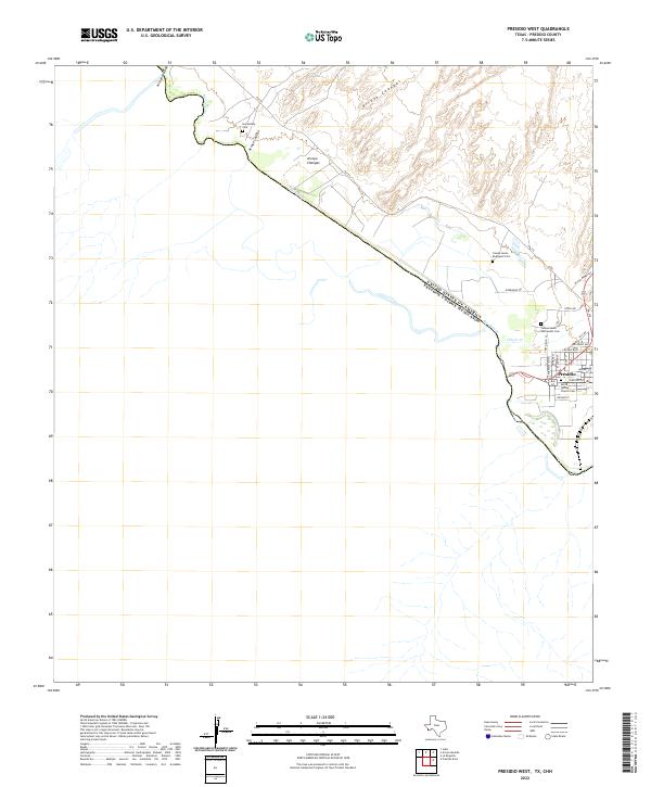
2022 Presidio West
Presidio County, TX
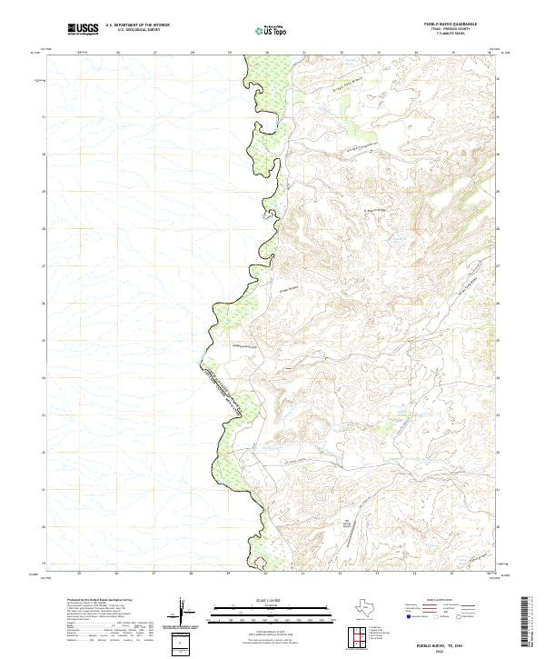
2022 Pueblo Nuevo
Presidio County, TX
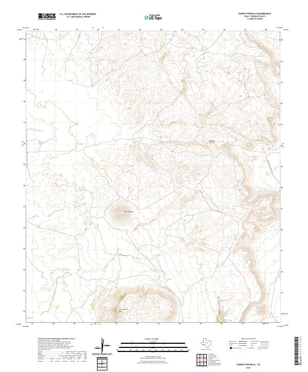
2022 Puerto Potrillo
Presidio County, TX
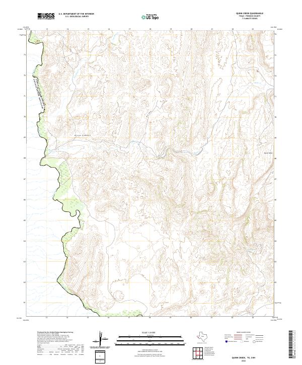
2022 Quinn Creek
Presidio County, TX
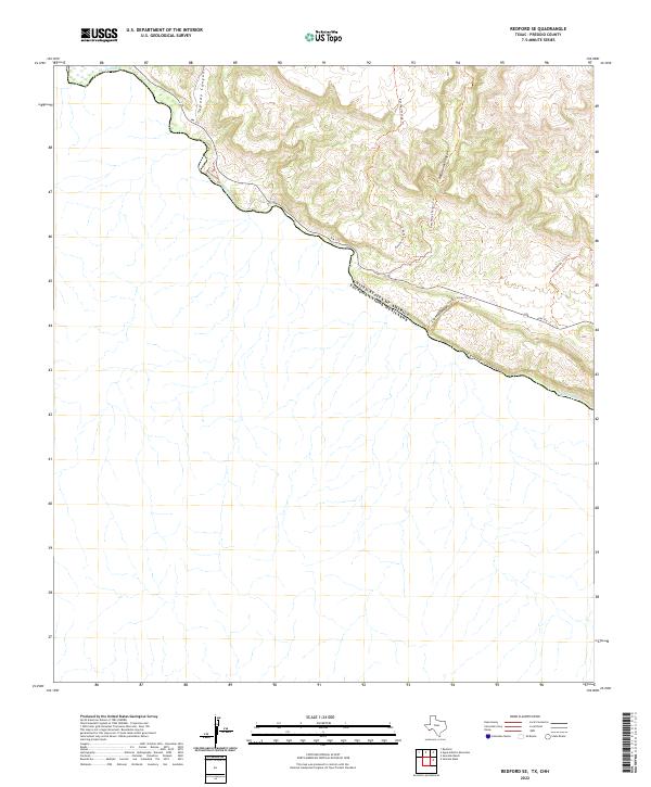
2022 Redford SE
Presidio County, TX
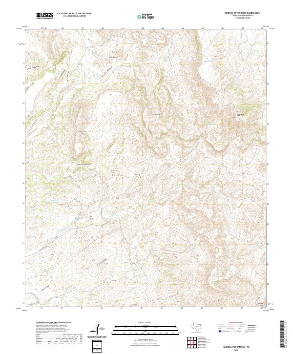
2022 Ruidosa Hot Springs
Presidio County, TX
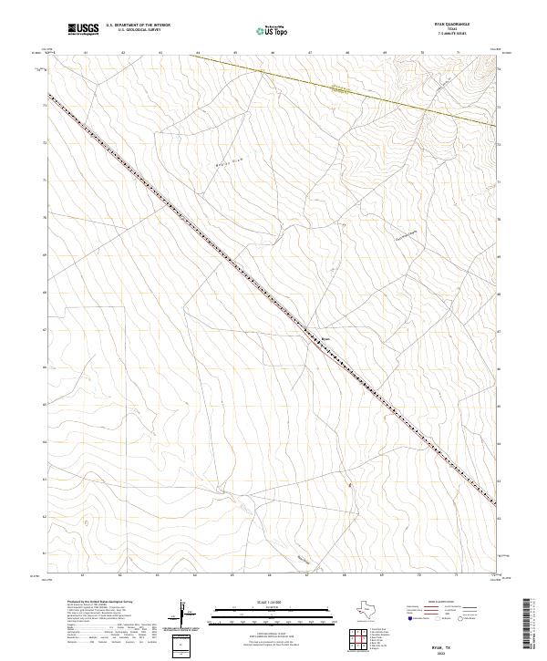
2022 Ryan
Presidio County, TX
2022 Ryan SW
Presidio County, TX
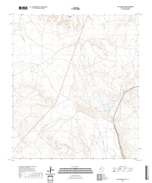
2022 San Esteban Lake
Presidio County, TX
2022 San Esteban Lake SW
Presidio County, TX
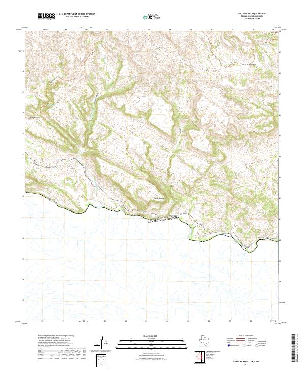
2022 Santana Mesa
Presidio County, TX
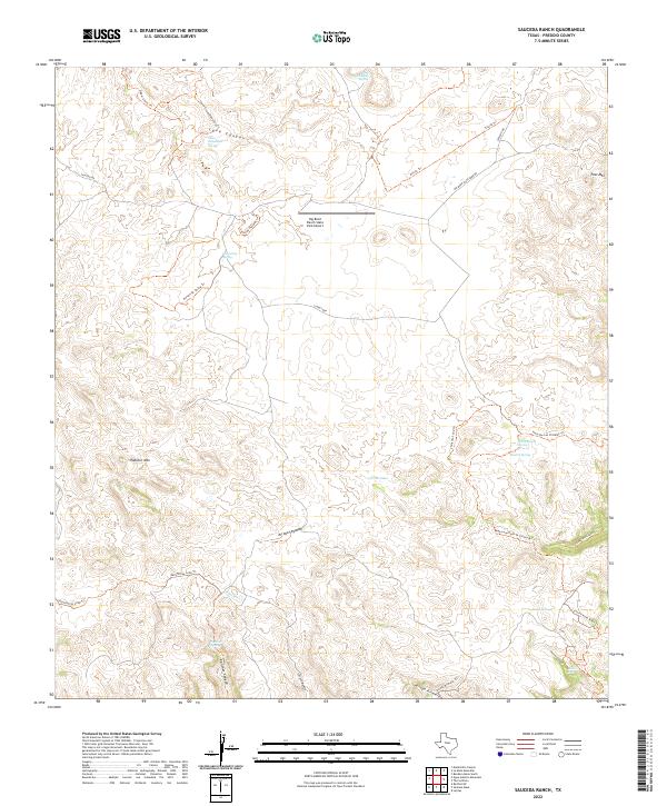
2022 Sauceda Ranch
Presidio County, TX
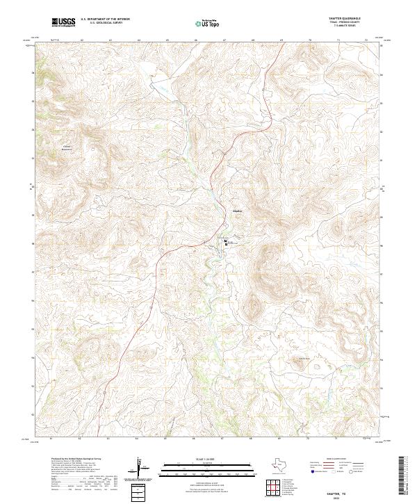
2022 Shafter
Presidio County, TX
2022 Sierra Parda
Presidio County, TX
2022 Smith Hills
Presidio County, TX
2022 Soldier Spring
Presidio County, TX
2022 The Solitario
Presidio County, TX

2022 Tinaja NE
Presidio County, TX
2022 Tinaja
Presidio County, TX
2022 Vado De Piedra
Presidio County, TX
2022 Vieja Pass
Presidio County, TX