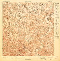
1947 Map of Aguas Buenas SE
USGS Topo · Published 1947About this map
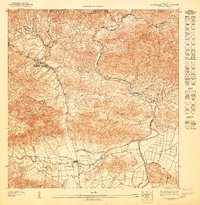
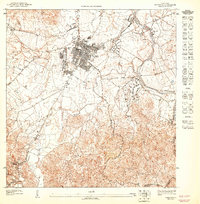
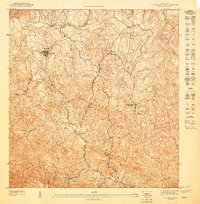
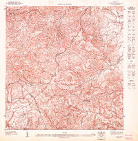
The Rio Grande de Loiza snakes through this 1947 preliminary survey of the interior, marking a landscape where river valleys dictate the flow of travel and settlement. Rural life is anchored by landmarks like the Escuela Segunda Unidad de Rio Canas and the settlement of La Changa, while the high ground of Altos de San Luis and Mesa overlooks the confluence of several vital waterways. These include the Rio Gurabo and Rio Bairoa, which carve through the terrain as they approach the municipal boundaries of Caguas and Trujillo Alto. The map captures a moment in the mid-1940s before modern development reshaped these river basins, preserving the original agricultural road networks and the proximity of rural schools to the surrounding farmsteads.
Find a feature on this map
14 named features on this map. Tap any name to fly to it.
Don’t see what you’re looking for? This feature index may not catch every label — zoom into the map to look around manually.
Map Details
Editions of this 1947 Aguas Buenas SE Map
This is the sole edition of this map. No revisions or reprints were ever made.
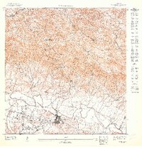
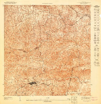
Other maps of this area

1946 · Aguas Buenas
USGS Topo · 1:30,000

1946 · Gurabo
USGS Topo · 1:30,000

1946 · Juncos
USGS Topo · 1:30,000

1946 · Caguas
USGS Topo · 1:30,000
1947 · Caguas NE
USGS Topo · 1:10,000
1947 · Aguas Buenas NO
USGS Topo · 1:10,000
1947 · Caguas NO
USGS Topo · 1:10,000
1947 · Aguas Buenas NE
USGS Topo · 1:10,000
1947 · Gurabo SO
USGS Topo · 1:10,000
1947 · Aguas Buenas SO
USGS Topo · 1:10,000
Featured Places
- Sector Quintas del Lago, Gurabo
- Sector Los Negrones, Gurabo
- Sector Panell, Trujillo Alto
- Sector Los Romanes, Gurabo
- Sector Los Olmedos, Gurabo