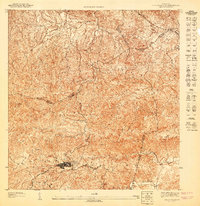
1947 Map of Aguas Buenas SO
USGS Topo · Published 1947About this map
Aguas Buenas serves as the central hub of this mid-century topographic study, showing the street grid and building density as it existed before decades of modern expansion. The landscape is defined by a complex network of waterways, including the Rio Bairoa and Rio Caguitas, which carve through the intricate terrain. A small settlement at La Changa sits near the northeastern boundary, while landmarks like Cerro Marquesa and Three Pole provide prominent elevation points across the interior.
Find a feature on this map
18 named features on this map. Tap any name to fly to it.
Don’t see what you’re looking for? This feature index may not catch every label — zoom into the map to look around manually.
Map Details
Editions of this 1947 Aguas Buenas SO Map
This is the sole edition of this map. No revisions or reprints were ever made.
Other maps of this area

1946 · Aguas Buenas
USGS Topo · 1:30,000

1946 · Comerio
USGS Topo · 1:30,000

1946 · Naranjito
USGS Topo · 1:30,000

1946 · Caguas
USGS Topo · 1:30,000
1947 · Caguas NE
USGS Topo · 1:10,000

1947 · Aguas Buenas NO
USGS Topo · 1:10,000
1947 · Naranjito SE
USGS Topo · 1:10,000
1947 · Naranjito NE
USGS Topo · 1:10,000
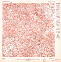
1947 · Caguas NO
USGS Topo · 1:10,000
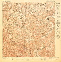
1947 · Aguas Buenas NE
USGS Topo · 1:10,000
Featured Places
- Aguas Buenas
- Sector Pueblo Santo, Guaynabo
- Sector Sión, Guaynabo
- Sector Guango Lugo, Guaynabo
- La Pajilla, Guaynabo