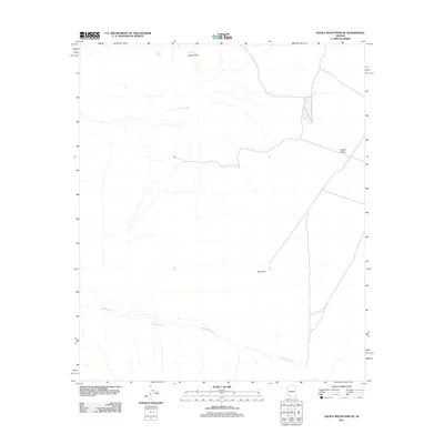
2011 Map of Aguila Mountains SE
USGS Topo · Published 2011About this map
Aguila Arch serves as a prominent natural landmark in this arid landscape of southwestern Arizona, where water management is the primary evidence of human modification. The distribution of scattered catchment features like Don Diego Tank, Eagle Tank, and Thompson Tank illustrates the critical role of water infrastructure for ranching or wildlife in the desert. These artificial pools are positioned to capture runoff from the ephemeral drainage systems, most notably the wide corridor of Growler Wash which cuts across the southern portion of the quadrangle. To the east, the terrain opens into Childs Valley, framed by the elevations of Red Point. The mapping of these specific water points alongside features like Tony Tank provides essential data for those studying land use and historical grazing patterns in this part of Maricopa County.
Find a feature on this map
8 named features on this map. Tap any name to fly to it.
Don’t see what you’re looking for? This feature index may not catch every label — zoom into the map to look around manually.
Map Details
Editions of this 2011 Aguila Mountains SE Map
This is the sole edition of this map. No revisions or reprints were ever made.
Other maps of this area

1927 · Aguila Mountains
USGS Topo · 1:48,000

1930 · Aguila Mountains
USGS Topo · 1:62,500

1953 · Ajo
USGS Topo · 1:250,000

1957 · Ajo
USGS Topo · 1:250,000

1958 · Ajo
USGS Topo · 1:250,000

1962 · Ajo
USGS Topo · 1:250,000

1963 · Ajo
USGS Topo · 1:250,000

1964 · Growler Peak
USGS Topo · 1:62,500
1965 · Aguila Mountains
USGS Topo · 1:62,500

1965 · Granite Mountains
USGS Topo · 1:62,500