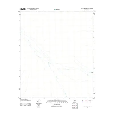
2011 Map of Aguila Mountains SW
USGS Topo · Published 2011About this map
San Cristobal Wash dominates the arid landscape of this Yuma County quadrangle, carving a wide braided path from the northwest toward the southeast. The terrain is defined by these seasonal drainage patterns, where water moves across the desert floor only during significant rain events. In the eastern portion of the map, the Growler Valley opens up, drained by the tributary Growler Wash. This 2011 survey by the U.S. Geological Survey illustrates the stark geomorphology of the region, where the alluvial fans and dry washes provide the only navigable features across the open desert floor. The lack of permanent structures or roads emphasizes the isolation of this corner of Arizona, preserved here in a detailed topographic record of its natural hydrology.
Find a feature on this map
3 named features on this map. Tap any name to fly to it.
Don’t see what you’re looking for? This feature index may not catch every label — zoom into the map to look around manually.
Map Details
Editions of this 2011 Aguila Mountains SW Map
This is the sole edition of this map. No revisions or reprints were ever made.
Other maps of this area

1927 · Aguila Mountains
USGS Topo · 1:48,000

1927 · Kim
USGS Topo · 1:62,500

1930 · Aguila Mountains
USGS Topo · 1:62,500

1931 · Kim
USGS Topo · 1:62,500

1953 · Ajo
USGS Topo · 1:250,000

1957 · Ajo
USGS Topo · 1:250,000

1958 · Ajo
USGS Topo · 1:250,000

1962 · Ajo
USGS Topo · 1:250,000

1963 · Ajo
USGS Topo · 1:250,000
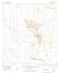
1965 · Aguila Mountains
USGS Topo · 1:62,500