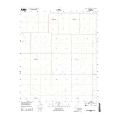
2014 Map of Aguila Mountains SW
USGS Topo · Published 2014About this map
San Cristobal Valley dominates the western portion of this arid landscape in Yuma County, defined by the broad drainage of the San Cristobal Wash. The terrain is characterized by large alluvial plains typical of the Sonoran desert region, where seasonal watercourses like Growler Wash have carved distinct paths through the Growler Valley to the east. This 2014 survey focuses on a remote section of Southwest Arizona, primarily documenting natural drainage patterns and the established Public Land Survey System boundaries, including t10s r12w and t10s r11w. The map provides a clear record of the valley floor's topography before any significant modern shifts in water management or land use altered these desert corridors.
Find a feature on this map
11 named features on this map. Tap any name to fly to it.
Don’t see what you’re looking for? This feature index may not catch every label — zoom into the map to look around manually.
Map Details
Editions of this 2014 Aguila Mountains SW Map
This is the sole edition of this map. No revisions or reprints were ever made.
Other maps of this area

1927 · Aguila Mountains
USGS Topo · 1:48,000

1927 · Kim
USGS Topo · 1:62,500

1930 · Aguila Mountains
USGS Topo · 1:62,500

1931 · Kim
USGS Topo · 1:62,500

1953 · Ajo
USGS Topo · 1:250,000

1957 · Ajo
USGS Topo · 1:250,000

1958 · Ajo
USGS Topo · 1:250,000

1962 · Ajo
USGS Topo · 1:250,000

1963 · Ajo
USGS Topo · 1:250,000
1965 · Aguila Mountains
USGS Topo · 1:62,500