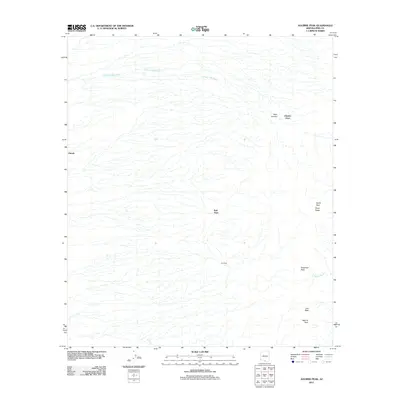
2011 Map of Aguirre Peak
USGS Topo · Published 2011About this map
Aguirre Peak rises as a prominent landmark in this desert landscape within Pima County, serving as a focal point for a region defined by its ephemeral waterways and high-altitude passes. Small settlements including Utevak, Kuit Vaya, and Chui Vaya are dispersed across the terrain, connected by a network of primitive routes that navigate the complex drainage patterns of the Chutum Vaya Wash and Asolido Wash.
Find a feature on this map
12 named features on this map. Tap any name to fly to it.
Don’t see what you’re looking for? This feature index may not catch every label — zoom into the map to look around manually.
Map Details
Editions of this 2011 Aguirre Peak Map
This is the sole edition of this map. No revisions or reprints were ever made.
Other maps of this area

1941 · Presumido Peak
USGS Topo · 1:62,500

1941 · Baboquivari Peak
USGS Topo · 1:62,500

1941 · Vamori
USGS Topo · 1:62,500

1941 · Sells
USGS Topo · 1:62,500

1943 · Sells
USGS Topo · 1:62,500

1943 · Fresnal
USGS Topo · 1:125,000

1943 · Presumido Peak
USGS Topo · 1:62,500

1943 · Vamori
USGS Topo · 1:62,500

1944 · Baboquivari Peak
USGS Topo · 1:62,500

1956 · Nogales
USGS Topo · 1:250,000