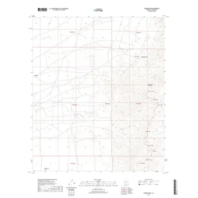
2018 Map of Aguirre Peak
USGS Topo · Published 2018About this map
Aguirre Peak and the high ridges of the Baboquivari Mountains dominate this 2018 survey of Pima County's high desert. The landscape is defined by its dramatic verticality and drainage systems, where seasonal water follows the paths of Chutum Vaya Wash and Asolido Wash toward the Baboquivari Valley to the west. Sparse settlements like Chutum Vaya, Kuit Vaya, and Utevak sit at the transition between the valley floor and the rising slopes. Navigation through this complex terrain relies on established corridors such as Deadman Pass and North Pass, which cut through the mountain chain. The map provides a look at the physical geography of the Tohono O'odham Nation land, documenting numerous named landforms including Bear Canyon, Leyvas Canyon, and the distinct summit of Lalo Peak.
Find a feature on this map
21 named features on this map. Tap any name to fly to it.
Don’t see what you’re looking for? This feature index may not catch every label — zoom into the map to look around manually.
Map Details
Editions of this 2018 Aguirre Peak Map
This is the sole edition of this map. No revisions or reprints were ever made.
Other maps of this area

1941 · Presumido Peak
USGS Topo · 1:62,500

1941 · Baboquivari Peak
USGS Topo · 1:62,500

1941 · Vamori
USGS Topo · 1:62,500

1941 · Sells
USGS Topo · 1:62,500

1943 · Sells
USGS Topo · 1:62,500

1943 · Fresnal
USGS Topo · 1:125,000

1943 · Presumido Peak
USGS Topo · 1:62,500

1943 · Vamori
USGS Topo · 1:62,500

1944 · Baboquivari Peak
USGS Topo · 1:62,500

1956 · Nogales
USGS Topo · 1:250,000