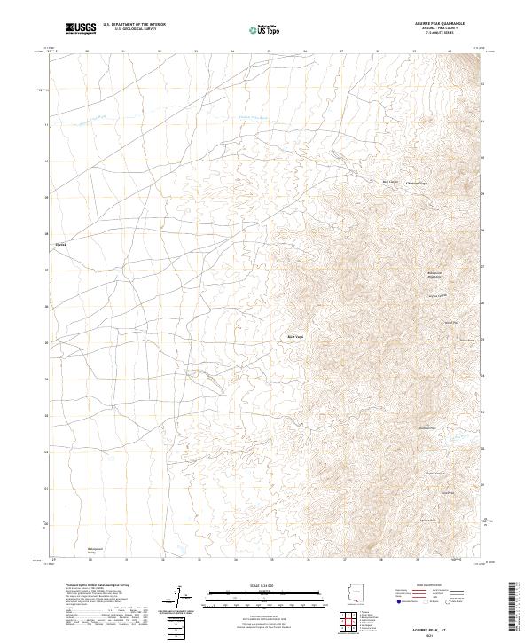
2021 Map of Aguirre Peak
USGS Topo · Published 2021About this map
Aguirre Peak rises as a central landmark in this desert landscape of Pima County, anchoring a terrain defined by the dramatic ridges of the Baboquivari Mountains. To the west, the land transitions into the Baboquivari Valley, a broad expanse marked by drainage systems like Chutum Vaya Wash and Asolido Wash. The map records a sparse network of settlements, including Utevak, Chutum Vaya, and Kuit Vaya, which reflect the localized human geography of this arid region.
Find a feature on this map
21 named features on this map. Tap any name to fly to it.
Don’t see what you’re looking for? This feature index may not catch every label — zoom into the map to look around manually.
Map Details
Editions of this 2021 Aguirre Peak Map
This is the sole edition of this map. No revisions or reprints were ever made.
Other maps of this area

1941 · Presumido Peak
USGS Topo · 1:62,500

1941 · Baboquivari Peak
USGS Topo · 1:62,500

1941 · Vamori
USGS Topo · 1:62,500

1941 · Sells
USGS Topo · 1:62,500

1943 · Sells
USGS Topo · 1:62,500

1943 · Fresnal
USGS Topo · 1:125,000

1943 · Presumido Peak
USGS Topo · 1:62,500

1943 · Vamori
USGS Topo · 1:62,500

1944 · Baboquivari Peak
USGS Topo · 1:62,500

1956 · Nogales
USGS Topo · 1:250,000