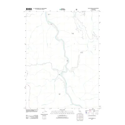
2012 Map of Ah Pah Ridge
USGS Topo · Published 2012About this map
The Klamath River winds through the heart of this Humboldt County landscape, serving as the primary geographical anchor for a region defined by steep ridges and deep creek drainages. Isolated homesteads and outposts like Ah Pah Ranch and McCovey Ranch are positioned near the riverbanks, illustrating the historic reliance on the waterway for access in this part of California. Further south, Blue Creek Lodge and the Blue Creek Campground near the confluence of Blue Cr highlight the area's transition towards recreational use and conservation.
Find a feature on this map
20 named features on this map. Tap any name to fly to it.
Don’t see what you’re looking for? This feature index may not catch every label — zoom into the map to look around manually.
Map Details
Editions of this 2012 Ah Pah Ridge Map
This is the sole edition of this map. No revisions or reprints were ever made.
Other maps of this area

1922 · Preston Peak
USGS Topo · 1:125,000

1925 · Hoopa
USGS Topo · 1:125,000

1929 · Crescent City
USGS Topo · 1:125,000

1945 · Ship Mountain
USGS Topo · 1:62,500

1945 · Orick
USGS Topo · 1:62,500

1945 · Requa
USGS Topo · 1:62,500

1945 · Tectah Creek
USGS Topo · 1:62,500

1948 · Weed
USGS Topo · 1:250,000

1949 · Eureka
USGS Topo · 1:250,000

1950 · Weed
USGS Topo · 1:250,000