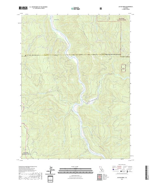
2021 Map of Ah Pah Ridge
USGS Topo · Published 2021About this map
The Klamath River meanders through a heavily forested landscape on this modern survey, defining the geographical and ecological heart of the region. The river is flanked by significant protected lands, including portions of Six Rivers National Forest to the east and Redwood National Park to the southwest. The terrain is dominated by prominent landforms such as Ah Pah Ridge and Pecwan Ridge, which divide the numerous drainages feeding into the main river channel. Local access is marked by several service roads, including Ah Pah Rd and Cal Barrel Rd, which trace the high ground and provide entry into the timbered slopes. Along the river, named locations like Starwein Flat and Starwein Ridge offer specific points of reference for those navigating the water's edge or the rugged interior. Numerous tributaries, such as Ah Pah Cr and Blue Creek, illustrate the complex hydrology of this part of Humboldt County.
Find a feature on this map
32 named features on this map. Tap any name to fly to it.
Don’t see what you’re looking for? This feature index may not catch every label — zoom into the map to look around manually.
Map Details
Editions of this 2021 Ah Pah Ridge Map
This is the sole edition of this map. No revisions or reprints were ever made.
Other maps of this area

1922 · Preston Peak
USGS Topo · 1:125,000

1925 · Hoopa
USGS Topo · 1:125,000

1929 · Crescent City
USGS Topo · 1:125,000

1945 · Ship Mountain
USGS Topo · 1:62,500

1945 · Orick
USGS Topo · 1:62,500

1945 · Requa
USGS Topo · 1:62,500

1945 · Tectah Creek
USGS Topo · 1:62,500

1948 · Weed
USGS Topo · 1:250,000

1949 · Eureka
USGS Topo · 1:250,000

1950 · Weed
USGS Topo · 1:250,000