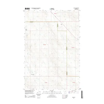
2014 Map of Ahles
USGS Topo · Published 2014About this map
Ahles stands as a focal point in this sparsely settled region of Treasure and Rosebud Counties, where the land is defined by a network of drainage systems. The most striking geographic feature is the uniquely named Starved to Death Cr, which snakes through the landscape alongside various coulees and spring-fed draws. This area of eastern Montana is characterized by its rural agricultural layout, with the map recording the precise sections and townships that organize the range land. The survey details the high-plateau topography where local hydrology and traditional land divisions remain the primary markers of human presence in a quiet, open country.
Find a feature on this map
2 named features on this map. Tap any name to fly to it.
Don’t see what you’re looking for? This feature index may not catch every label — zoom into the map to look around manually.
Map Details
Editions of this 2014 Ahles Map
This is the sole edition of this map. No revisions or reprints were ever made.
Other maps of this area

1954 · Forsyth
USGS Topo · 1:250,000

1957 · Forsyth
USGS Topo · 1:250,000

1958 · Forsyth
USGS Topo · 1:250,000

1960 · Hysham
USGS Topo · 1:24,000

1960 · Steie Ranch
USGS Topo · 1:24,000

1960 · Vananda
USGS Topo · 1:24,000

1960 · Ahles
USGS Topo · 1:24,000

1960 · Myers
USGS Topo · 1:24,000

1960 · Sanders
USGS Topo · 1:24,000

1960 · Thebes
USGS Topo · 1:24,000