2017 Map of Ahles
USGS Topo · Published 2017About this map
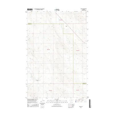
Ahles sits at the northern end of this eastern Montana landscape, situated near the headwaters of several uniquely named seasonal drainages. The topography is defined by the winding paths of Starved to Death Cr and Horse Cr, which carve through the high plains. The boundary between Rosebud and Treasure Counties bisects the area, highlighting the rural administrative divisions of the region. To the southwest, the terrain transitions into the deeper depressions of Geyser Spring Coulee and the upper reaches of Froze to Death Cr. This survey illustrates the sparse settlement patterns typical of the Montana backcountry in the early 21st century, where land management is organized by the Public Land Survey System as seen in blocks like t8n r36e and t8n r37e.
Find a feature on this map
11 named features on this map. Tap any name to fly to it.
Don’t see what you’re looking for? This feature index may not catch every label — zoom into the map to look around manually.
Map Details
Editions of this 2017 Ahles Map
This is the sole edition of this map. No revisions or reprints were ever made.
Other maps of this area

1954 · Forsyth
USGS Topo · 1:250,000

1957 · Forsyth
USGS Topo · 1:250,000

1958 · Forsyth
USGS Topo · 1:250,000

1960 · Hysham
USGS Topo · 1:24,000

1960 · Steie Ranch
USGS Topo · 1:24,000

1960 · Vananda
USGS Topo · 1:24,000

1960 · Ahles
USGS Topo · 1:24,000

1960 · Myers
USGS Topo · 1:24,000

1960 · Sanders
USGS Topo · 1:24,000

1960 · Thebes
USGS Topo · 1:24,000