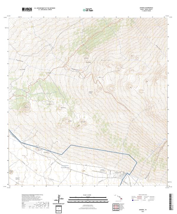
2024 Map of Ahumoa
USGS Topo · Published 2024About this map
Mauna Kea dominates the high-altitude landscape of this part of the Island of Hawai'i, where the volcanic slopes are etched with numerous cinder cones and gulches. The southern portion of the area is defined by the Pohakuloa Training Area, a significant military installation that includes the Bradshaw Army Airfield. This modern survey illustrates how high-elevation transportation relies on a network of routes such as Saddle Rd and specialized tracks like the Skyline Road Trl and Mauna Kea Access Road Trl.
Find a feature on this map
35 named features on this map. Tap any name to fly to it.
Don’t see what you’re looking for? This feature index may not catch every label — zoom into the map to look around manually.
Map Details
Editions of this 2024 Ahumoa Map
This is the sole edition of this map. No revisions or reprints were ever made.
Other maps of this area

1927 · Kaohe
USGS Topo · 1:62,500

1930 · Humuula
USGS Topo · 1:62,500

1930 · Kaohe
USGS Topo · 1:62,500

1954 · Hawaii North
USGS Topo · 1:250,000

1956 · Puu Oo
USGS Topo · 1:24,000

1956 · Puu Koli
USGS Topo · 1:24,000

1956 · Keamuku
USGS Topo · 1:24,000

1956 · Nohonaohae
USGS Topo · 1:24,000

1956 · Makahalau
USGS Topo · 1:24,000
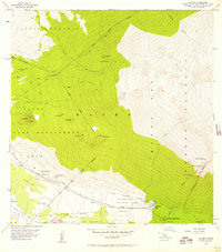
1956 · Ahumoa
USGS Topo · 1:24,000