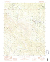
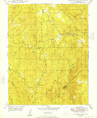
1990 Map of Ahwahnee
USGS Topo · Published 1990About this map
Wassama Roundhouse State Historical Park preserves a vital cultural site north of Ahwahnee, where the landscape transitions into the southern Sierra foothills. The area is marked by a deep history of resource extraction, visible through numerous named operations including the Texas Flat Mine near Coarsegold and the Enterprise Mine further north. These lode sites, along with the Rich Hill Mines and Lily Mine, trace a corridor of gold-seeking industry that shaped the early development of these Madera County communities.
Find a feature on this map
37 named features on this map. Tap any name to fly to it.
Don’t see what you’re looking for? This feature index may not catch every label — zoom into the map to look around manually.
Map Details
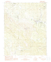
Editions of this 1990 Ahwahnee Map
2 editions found
Other maps of this area

1912 · Mariposa
USGS Topo · 1:125,000

1942 · Raymond
USGS Topo · 1:62,500

1942 · Millerton Lake
USGS Topo · 1:62,500

1944 · Raymond
USGS Topo · 1:62,500

1945 · Millerton Lake
USGS Topo · 1:62,500

1947 · Mariposa
USGS Topo · 1:250,000

1947 · Mariposa
USGS Topo · 1:62,500
1947 · Stumpfield Mtn.
USGS Topo · 1:24,000
1947 · Horsecamp Mountain
USGS Topo · 1:24,000
1948 · Stumpfield Mountain
USGS Topo · 1:24,000