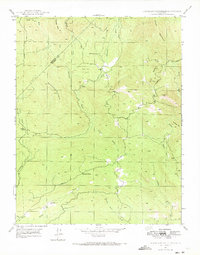
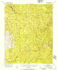
1947 Map of Horsecamp Mountain
USGS Topo · Published 1973About this map
Bailey Flats serves as a primary point of reference in this mid-century Sierra Nevada foothills landscape, situated where the Middle Fork and East Fork Chowchilla Rivers converge. The terrain is characterized by steep ridges and deep gulches, including the notable Grub Gulch and Leland Gulch. Local education is anchored at the Bailey Flat Sch, while the southern reaches show early transportation routes leading toward Summit House. This area, straddling the Mariposa and Madera County line, was mapped during a period of transition, following 1945 aerial photography. The intricate network of waterways like Ahwahnee Creek and Spangle Gold Creek highlights the drainage patterns feeding into the Fresno River, revealing a remote ranching and mining-influenced geography defined by peaks such as Horsecamp Mountain and the Twin Sisters Mountain.
Find a feature on this map
27 named features on this map. Tap any name to fly to it.
Don’t see what you’re looking for? This feature index may not catch every label — zoom into the map to look around manually.
Map Details
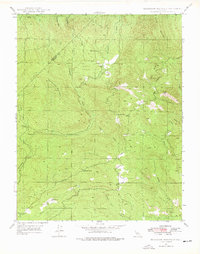
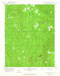
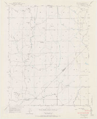
Editions of this 1947 Horsecamp Mountain Map

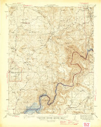
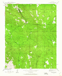
Other maps of this area

1912 · Mariposa
USGS Topo · 1:125,000

1942 · Raymond
USGS Topo · 1:62,500

1942 · Millerton Lake
USGS Topo · 1:62,500

1944 · Raymond
USGS Topo · 1:62,500
1945 · Millerton Lake
USGS Topo · 1:62,500
1947 · Mariposa
USGS Topo · 1:24,000

1947 · Mariposa
USGS Topo · 1:250,000
1947 · Mariposa
USGS Topo · 1:62,500
1947 · Stumpfield Mtn.
USGS Topo · 1:24,000
1947 · Ben Hur
USGS Topo · 1:24,000