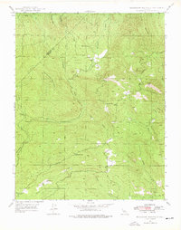
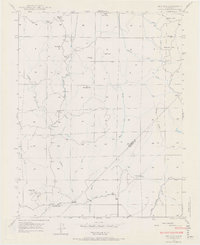
1947 Map of Horsecamp Mountain
USGS Topo · Published 1978About this map
The Mariposa and Madera County line cuts diagonally across this 1947 landscape, defined by the complex drainage of the Chowchilla River. The terrain is characterized by the confluence of the West, Middle, and East Forks, where the settlement at Bailey Flats and the Bailey Flat Sch represent a quiet rural node in the Sierra foothills. Southward, the topography rises toward Horsecamp Mountain and the Sister Peaks, showing the winding path of Ahwahnee Road as it passes through Windy Gap.
Find a feature on this map
25 named features on this map. Tap any name to fly to it.
Don’t see what you’re looking for? This feature index may not catch every label — zoom into the map to look around manually.
Map Details
Editions of this 1947 Horsecamp Mountain Map
Other maps of this area

1912 · Mariposa
USGS Topo · 1:125,000

1942 · Raymond
USGS Topo · 1:62,500

1942 · Millerton Lake
USGS Topo · 1:62,500

1944 · Raymond
USGS Topo · 1:62,500

1945 · Millerton Lake
USGS Topo · 1:62,500

1947 · Mariposa
USGS Topo · 1:24,000

1947 · Mariposa
USGS Topo · 1:250,000

1947 · Mariposa
USGS Topo · 1:62,500
1947 · Stumpfield Mtn.
USGS Topo · 1:24,000
1947 · Ben Hur
USGS Topo · 1:24,000