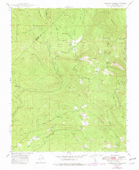
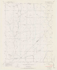
1947 Map of Horsecamp Mountain
USGS Topo · Published 1981About this map
The Mariposa Co Madera Co line cuts through this mid-century landscape, which is defined by the complex drainage network of the Chowchilla River. The high country is dominated by peaks like Horsecamp Mountain and Butler Mtn, while the settlement of Bailey Flats serves as a local hub, anchored by the Bailey Flat Sch. The terrain is deeply etched by numerous waterways, including the West Fork, Middle Fork, and East Fork Chowchilla River. To the south, Summit House sits along the Ahwahnee Road, representing the transition from the steep timbered slopes to the lower valleys. Gold mining history is quietly evident in place names like Grub Gulch, Specimen Springs, and the evocatively named Spangle Gold Creek, while the Fresno River and Willow Creek define the southeastern quadrant of the survey.
Find a feature on this map
25 named features on this map. Tap any name to fly to it.
Don’t see what you’re looking for? This feature index may not catch every label — zoom into the map to look around manually.
Map Details
Editions of this 1947 Horsecamp Mountain Map
Other maps of this area

1912 · Mariposa
USGS Topo · 1:125,000

1942 · Raymond
USGS Topo · 1:62,500

1942 · Millerton Lake
USGS Topo · 1:62,500

1944 · Raymond
USGS Topo · 1:62,500

1945 · Millerton Lake
USGS Topo · 1:62,500

1947 · Mariposa
USGS Topo · 1:24,000

1947 · Mariposa
USGS Topo · 1:250,000

1947 · Mariposa
USGS Topo · 1:62,500
1947 · Stumpfield Mtn.
USGS Topo · 1:24,000
1947 · Ben Hur
USGS Topo · 1:24,000