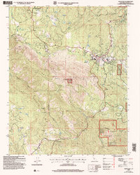
2004 Map of Ahwahnee
USGS Topo · Published 2007About this map
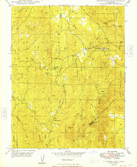
Waisama Roundhouse State Historical Park anchors the northwestern corner of this study, preserving a site of cultural significance near the settlement of Ahwahnee. The landscape is defined by the sharp elevations of Potter Ridge and Buckeye Mountain, which separate the drainage of the Fresno River from the Lewis Fork. This 2004 revision reveals a complex history of resource extraction, with numerous workings such as the Enterprise Mine, Hawkeye Mine, and Texas Flat Mine dotting the foothills. As the terrain descends into Fresno Flats, the modern development of Oakhurst is visible, showing a transition from the mining and ranching economy of the past toward a regional hub for visitors. Further south, the community of Coarsegold sits along the southern extent of the survey, where Raymond Road winds through the hills toward the high country of the Sierra National Forest.
Find a feature on this map
36 named features on this map. Tap any name to fly to it.
Don’t see what you’re looking for? This feature index may not catch every label — zoom into the map to look around manually.
Map Details
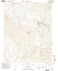
Editions of this 2004 Ahwahnee Map
2 editions found
Other maps of this area

1912 · Mariposa
USGS Topo · 1:125,000

1942 · Raymond
USGS Topo · 1:62,500

1942 · Millerton Lake
USGS Topo · 1:62,500

1944 · Raymond
USGS Topo · 1:62,500

1945 · Millerton Lake
USGS Topo · 1:62,500

1947 · Mariposa
USGS Topo · 1:250,000

1947 · Mariposa
USGS Topo · 1:62,500
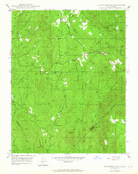
1947 · Stumpfield Mtn.
USGS Topo · 1:24,000
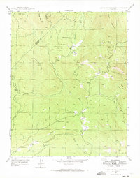
1947 · Horsecamp Mountain
USGS Topo · 1:24,000
1948 · Stumpfield Mountain
USGS Topo · 1:24,000